CyberSWIFT

Solutions With Innovative Future Technology

CyberSWIFT
  • avoiding land disputes how to verify multiple claimants on a property
    LAMS

    Avoiding Land Disputes: How to Verify Multiple Claimants on a Property

    24th June 2025 / 0 Comments

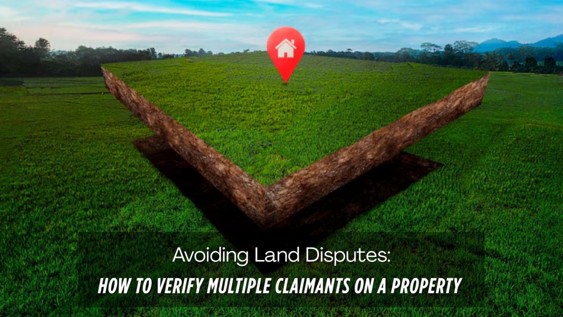
    Land disputes are among the most common and complex legal issues globally, especially in countries with fragmented land records and inadequate land management systems. One of the key reasons behind these disputes is multiple claimants asserting ownership over the same piece of land. Whether it’s due to historical inheritance, undocumented transactions, or fraudulent claims, such scenarios can lead to prolonged litigation, stalled infrastructure projects, and massive financial losses.  In this blog, we explore practical strategies to verify multiple claimants on a property, prevent potential disputes, and highlight how digital solutions like CyberSWIFT LAMS (Land Acquisition Management System) can help streamline the verification and dispute avoidance process.  Why Do Multiple Claims…

    read more
    Darshana Mukherjee

    You May Also Like

    Land Acquisition management

    Land Acquisition & Management Systems (LAMS) Explained

    25th February 2020
    the evolving landscape of land management harnessing technology for sustainable growth

    The Evolving Landscape of Land Management: Harnessing Technology for Sustainable Growth

    2nd September 2024
    how to crosscheck land boundaries with government records

    How to Cross-Check Land Boundaries with Government Records

    24th March 2025

Back to site

RECENT POSTS

  • avoiding land disputes how to verify multiple claimants on a propertyAvoiding Land Disputes: How to Verify Multiple Claimants on a Property
  • using satellite imagery & survey data to confirm land locations how lams ensures accuracy and transparencyUsing Satellite Imagery & Survey Data to Confirm Land Locations: How LAMS Ensures Accuracy and Transparency
  • urban development property survey mapping powering smart cities with precisionUrban Development Property Survey & Mapping: Powering Smart Cities with Precision
  • how to crosscheck land boundaries with government recordsHow to Cross-Check Land Boundaries with Government Records

Categories

  • Artificial Intelligence
  • CSR
  • GIS
    • Disaster Management
  • Healthcare
  • Hoarding Management
  • LAMS
  • Land
  • Oil and Gas
  • Project Monitoring
  • RCMS
  • Remote Sensing
  • Retail
  • Salesforce
  • Telecom Utility
  • Uncategorised
    • Project Progress Monitoring System
  • Urban Development
  • Utility
  • Water Utility Solution
Copyright © 1997-2025 CyberSWIFT® Infotech Pvt. Ltd.
Ashe Theme by WP Royal.