-
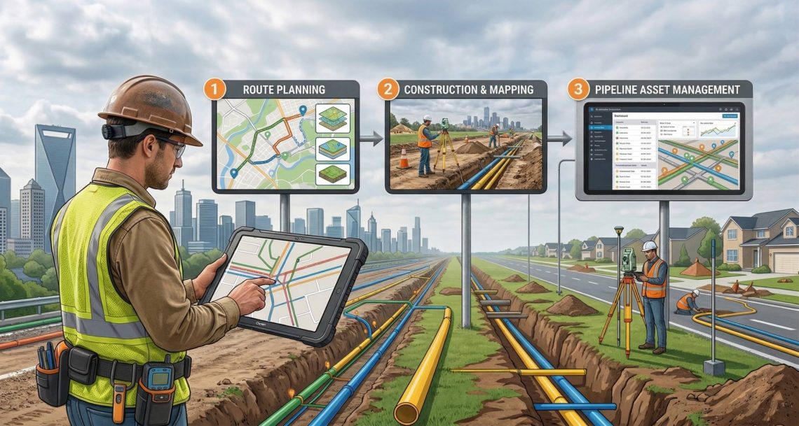
Transforming CGD Infrastructure with GIS Survey & Mapping: From Route Planning to Pipeline Asset Management
In the rapidly expanding City Gas Distribution (CGD) sector, precision planning and reliable asset data are no longer optional—they are critical for safety, regulatory compliance, and operational efficiency. Our specialized GIS Survey and Mapping services deliver end-to-end solutions tailored for CGD projects across India. From corridor mapping of pipeline routes to drone-based leakage detection and GIS- powered asset management systems, we help CGD companies build smarter, safer, and more sustainable gas networks. Why GIS is Needed in CGD City Gas Distribution involves laying thousands of kilometers of underground pipelines through congested urban and semi-urban areas while ensuring zero safety incidents and full regulatory compliance. As The CGD sector involves multiple layers of complexity—from pipeline…
-
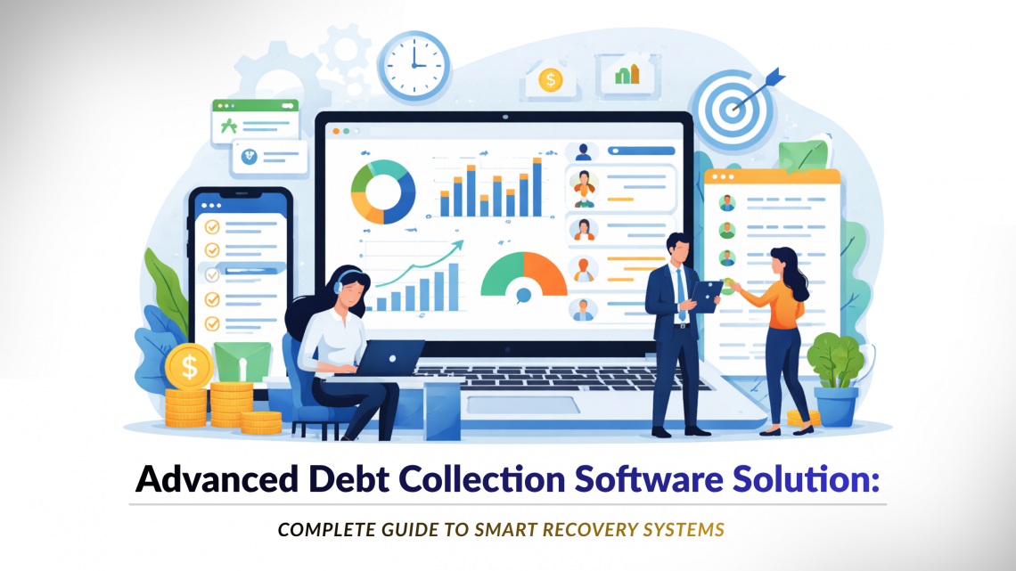
Advanced Debt Collection Software Solution: Complete Guide to Smart Recovery Systems
In today’s fast-evolving financial ecosystem, businesses can no longer rely on traditional methods for recovering dues. Manual follow-ups, fragmented data, and inefficient tracking often lead to delayed collections and revenue loss. An advanced debt collection software solution helps organizations automate, optimize, and scale their recovery processes efficiently. At CyberSWIFT, businesses get access to an advanced debt collection system designed to improve recovery rates while enhancing customer experience. What is an Debt Collection System? Our debt collection system is a smart platform that uses automation and analytics to manage the entire recovery lifecycle. Key Capabilities: Predictive payment behavior analysis Automated reminders and follow-ups Intelligent case prioritization Reduced manual workload This makes it an ideal end-to-end…
-
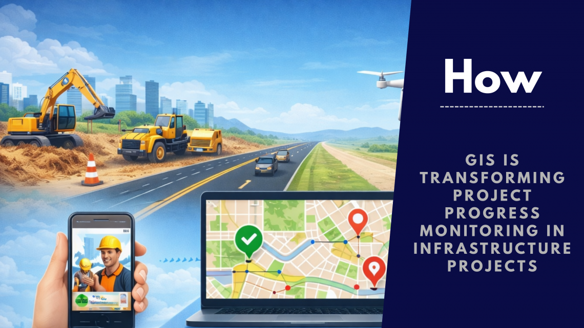
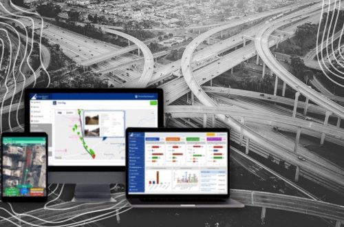
How GIS is Transforming Project Progress Monitoring in Infrastructure Projects
Infrastructure projects—whether highways, building, railways, or pipelines operations—are complex, multi-layered, and spread across vast geographies. Managing timelines, resources, and on-ground activities has always been a challenge. Traditional tracking methods often fall short due to lack of real-time visibility and coordination gaps. This is where a GIS-based project progress monitoring system is changing the game. The Limitations of Traditional Project Monitoring Before digital transformation, most organizations relied on manual reporting, spreadsheets, and fragmented tools. While these methods provided basic tracking, they lacked: Real-time updates from the field Accurate location-based insights Visual representation of project progress Centralized data access As a result, delays, cost overruns, and miscommunication became common issues. A modern project…
-
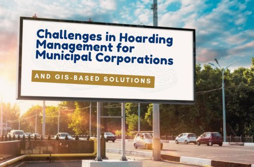
Hoarding Management Solution with GIS & UAV | Smart Billboard Monitoring System
Hoardings or billboards play a crucial role in urban advertising and information dissemination. However, unregulated hoardings can lead to visual clutter, safety hazards, and loss of revenue for municipal authorities. A Hoarding Management Solution (HMS) provides a systematic approach to managing, regulating, and monitoring hoardings using Geographic Information Systems (GIS), UAV technology, and digital databases. Objectives of Hoarding Management Solution Inventory Creation: Maintain a digital record of all hoardings, including location, dimensions, ownership, and permit status. Regulatory Compliance: Ensure adherence to municipal and legal norms for hoarding placement. Revenue Optimization: Track and manage advertising revenues through proper licensing and fee collection. Safety and Aesthetics: Prevent unauthorized or hazardous hoardings that…
-
AI Chatbot & OCR in Land Management Software | LAMS Smart Automation
Land acquisition and land management processes involve large volumes of documentation, verification of landowner identity, and continuous monitoring of records. Traditionally, these tasks required extensive manual work, including entering data from identity documents such as Aadhaar cards, PAN cards and other land documents such as sale deeds into digital systems. Manual data entry not only consumes time but also increases the risk of human errors. For organizations managing large land assets, this can lead to inefficiencies, incorrect records, and delays in project execution. To solve these challenges, the LAMS (Land Acquisition & Management System) has introduced two powerful AI-driven modules: an AI Chatbot and an AI-based OCR document scanning system. These advanced technologies help automate routine tasks,…
-
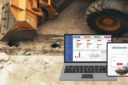
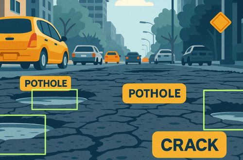
AI Based Road Condition Monitoring System: Transforming Infrastructure Management
Road infrastructure is a vital component of urban and rural connectivity. However, maintaining roads in good condition is a constant challenge due to factors such as weather, traffic load, and natural wear and tear. Traditional road inspection methods are often time-consuming, labour-intensive, and prone to human error. An AI-based Road Condition Monitoring System leverages artificial intelligence, computer vision, and geospatial technologies to automate road inspections, enhance maintenance efficiency, and improve transportation safety. Objectives of AI-Based Road Condition Monitoring Automated Road Inspection: Reduce manual efforts by using AI and machine learning to detect road defects. Real-Time Condition Assessment: Provide up-to-date information on road quality. Efficient Maintenance Planning: Prioritize road repairs based on severity and location. Cost Optimization: Reduce…
-
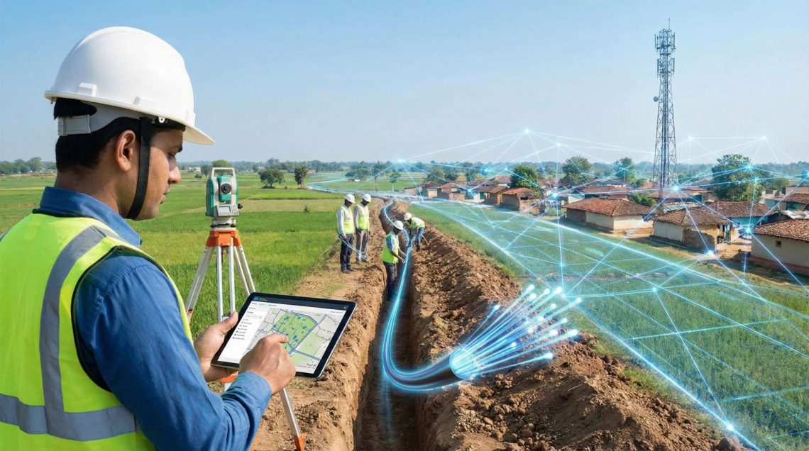
Enabling Seamless Rural Connectivity: End-to-End Support Services for BharatNet Phase 3
The ambitious rollout of BharatNet Phase 3 marks a transformative step toward strengthening India’s rural digital backbone. With a renewed focus on high-speed, reliable broadband connectivity across Gram Panchayats, this phase demands precision-driven execution, stringent quality standards, and complete lifecycle documentation. To ensure successful implementation, a comprehensive suite of GIS services plays a critical role — from route planning surveys to HOTO documentation and identification of damage section of existing network through advanced fiber testing. Below is an overview of the key GIS services essential for BharatNet Phase 3 deployment. 1. GIS Route Survey & Network Planning: Accurate route planning forms the foundation of a robust fiber network. Scope of Services:…
You May Also Like

GIS-Based Solutions for Efficient Telecom Network Management
-
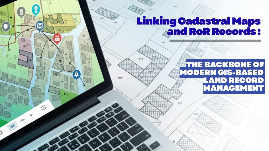
Linking Cadastral Maps and RoR Records: The Backbone of Modern GIS-Based Land Record Management
Accurate, transparent and easily accessible land information has become a strategic requirement for governments, utilities, infrastructure developers, renewable energy companies, mining corporations and real estate enterprises. As organizations expand, acquire new parcels, or manage large land banks, the ability to trust and validate land ownership data becomes essential. This is where the digital integration of Cadastral Maps and Record of Rights (RoR) emerges as a game changer—especially when executed through an advanced GIS-based land management platform like LAMS (Land Acquisition and Management System). Why Linking Cadastral Maps and RoR Matters Today Traditionally, cadastral maps and RoR records were maintained as separate datasets—one spatial, one textual—leading to inconsistencies, duplication, and errors during land…
-
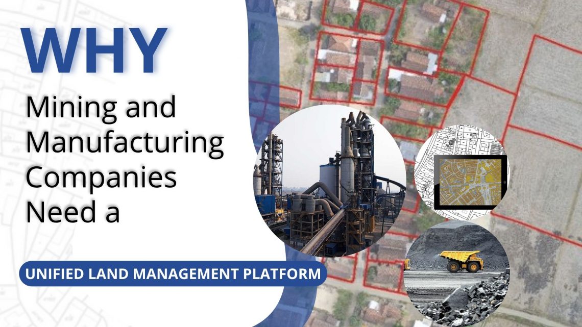
Why Mining and Manufacturing Companies Need a Unified Land Management Platform
In the mining and manufacturing sectors, land is not just a resource—it’s a strategic foundation. From mineral exploration to industrial expansion, every project starts with identifying, acquiring, and managing vast stretches of land. Yet, land administration remains one of the most complex, time-consuming, and risk-prone parts of project development. Fragmented records, manual processes, and disconnected systems often lead to delays, disputes, and compliance issues. To overcome these challenges, leading organizations are adopting all-in-one digital Land Management Platforms like LAMS — a GIS-enabled, cloud-based solution purpose-built for managing large, distributed land assets efficiently. 1. Managing Complex Land Portfolios Mining and manufacturing operations typically span multiple leases, permits, and zones, often across different…
-
Streamline Clearance Tracking for Hassle-Free Land Management
Efficient land management is critical for sustainable infrastructure development, urban planning, and public administration. However, one of the most challenging aspects of land governance continues to be the tracking and management of clearances and approvals associated with land parcels. In most cases, this process involves multiple agencies, departments, and documentation requirements—making it highly prone to delays, inconsistencies, and data redundancy. A GIS-based Land Management System, such as LAMS, provides a comprehensive solution to address these challenges by integrating geospatial intelligence with digital workflow automation. The result is a streamlined, transparent, and accountable clearance tracking mechanism that supports timely and informed decision-making. Challenges in Traditional Clearance Tracking Conventional clearance processes are…
CyberSWIFT
Solutions With Innovative Future Technology