Using Satellite Imagery & Survey Data to Confirm Land Locations: How LAMS Ensures Accuracy and Transparency
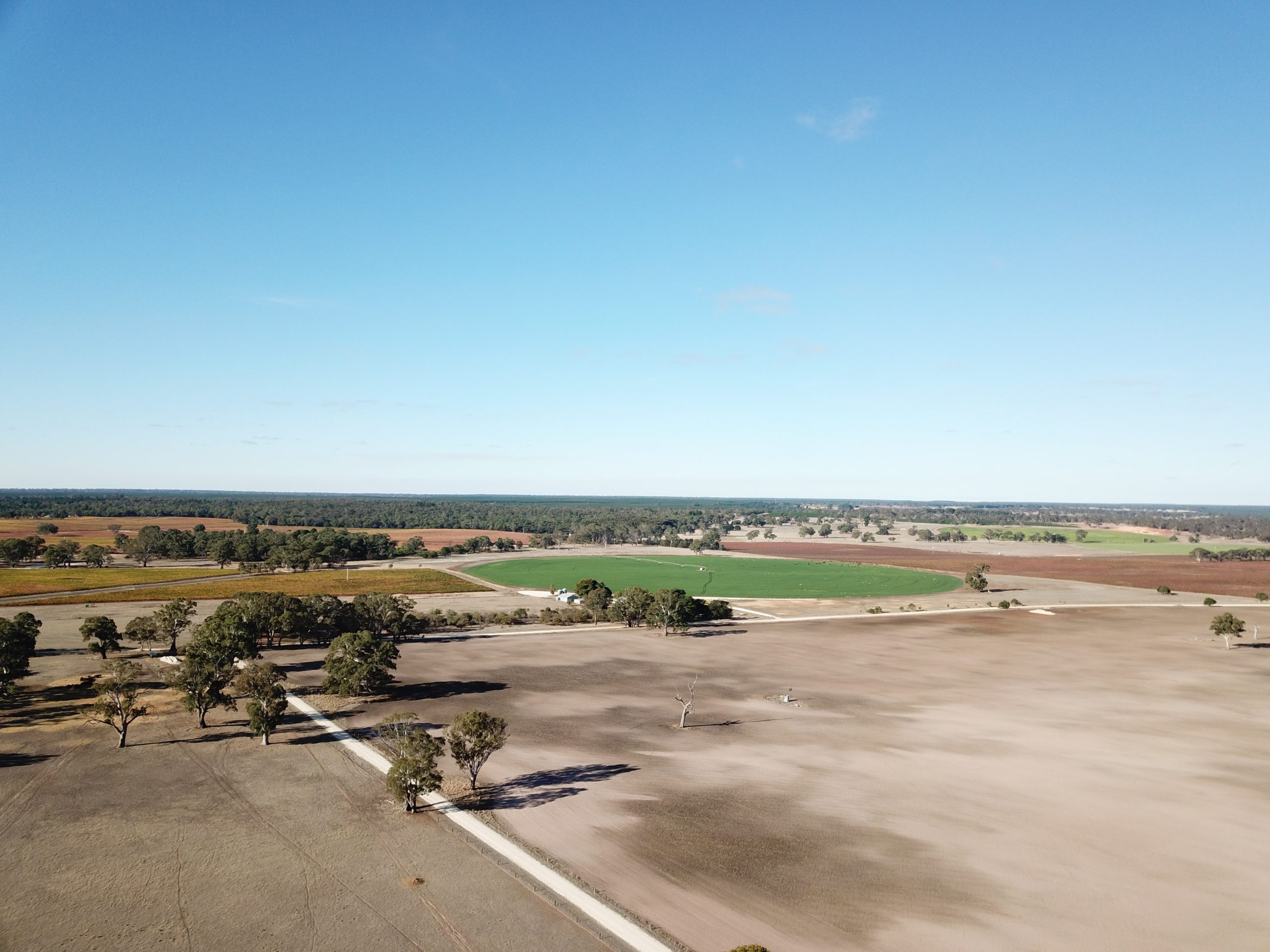
In the age of digital transformation, managing land assets with precision has become a necessity for government bodies, infrastructure developers, and enterprises alike. With challenges like land disputes, overlapping claims, outdated land records, and encroachments plaguing traditional land management, the integration of satellite imagery and survey data offers a revolutionary approach. CyberSWIFT’s Land Management System (LAMS) leverages the power of satellite technology and on-ground surveys to validate, map, and manage land locations with unmatched accuracy.
Why Accurate Land Location Matters
Accurate land location data is foundational to:
- Resolving ownership disputes
- Preventing encroachments
- Accelerating land acquisition processes
- Ensuring compliance with government regulations
- Facilitating informed infrastructure planning and development
Any ambiguity in land boundary definitions can lead to legal, financial, and operational consequences. This is where modern tools like satellite imagery and high-precision survey data make a difference.
The Power of Satellite Imagery in Land Management
1. High-Resolution Mapping
LAMS integrates high-resolution satellite imagery to give users a bird’s-eye view of land parcels, offering visual context that traditional records cannot. This allows for:
- Real-time monitoring of land use
- Detection of unauthorized occupation or construction
- Visual confirmation of topographical and environmental features
2. Historical Land Use Analysis
Satellite data archives allow users to analyze past land use patterns. With LAMS, stakeholders can view how a parcel has evolved over time — an invaluable feature for planning, legal validation, and sustainability assessments.
3. Remote Accessibility
Whether it’s a remote village or inaccessible terrain, satellite imagery ensures land data is available from anywhere, eliminating the need for frequent physical site visits.
Ground Survey Data: Bringing Granularity and Legal Validation
While satellite imagery provides a macro view, survey data brings micro-level accuracy:
1. DGPS and Total Station Surveys
CyberSWIFT’s land survey teams use DGPS (Differential Global Positioning System) and Total Station instruments to collect real-time, georeferenced coordinates. These are directly imported into LAMS to create accurate digital boundaries.
2. Geo-Referencing of Cadastral Maps
Using ground control points from surveys, LAMS enables geo-referencing of legacy land maps, converting paper records into digital spatial layers that align with actual geography.
3. Field-Verified Data
- Survey data includes field-verified details such as:
- Plot dimensions
- Ownership markers
- Land use type (agricultural, industrial, residential, etc.)
- Encroachments and landmarks
All this data is stored securely in LAMS, creating a centralized, tamper-proof land information system.
Integration of Satellite Imagery and Survey Data in LAMS
LAMS combines satellite imagery and survey data to provide a comprehensive and accurate view of land parcels. Satellite imagery offers a broad, visual understanding of land locations, enabling users to assess changes over time, identify encroachments, and monitor land use remotely. On the other hand, survey data brings legal and on-ground accuracy through georeferenced measurements and detailed plot-level information.
When these two data sources are integrated, LAMS creates a powerful, layered mapping system. The satellite imagery provides the visual backdrop, while the survey data overlays precise coordinates and boundaries on top. This synergy ensures that every land parcel is clearly defined, legally valid, and easy to verify. The integration not only removes ambiguities but also streamlines tasks like land acquisition, dispute resolution, and compliance checks—all within a unified digital platform.
Use Case: Resolving Land Disputes with LAMS
Imagine a scenario where two parties claim ownership over overlapping land parcels. Traditionally, this would involve lengthy legal proceedings, outdated paperwork, and bureaucratic hurdles. With LAMS:
- Historical satellite images validate usage patterns over time
- GPS surveys confirm accurate coordinates
- Overlays reveal boundary overlaps
- Legal teams and administrators have visual, data-backed evidence to settle disputes swiftly
Advantages of the LAMS Approach
✅ End-to-End Land Management – Manages the full land lifecycle from acquisition to disposal, including documentation, validation, and tracking
✅ GIS-Based Visualization – Offers a map-based interface for intuitive and efficient land parcel monitoring
✅ Field Survey Integration – Supports real-time data entry and updates from field teams via mobile and GPS-enabled devices
✅ Compliance-Ready Reports – Automatically generates reports required for regulatory and legal purposes
✅ Customizable Workflow – Adapts to industry-specific needs including infrastructure, energy, manufacturing, and mining
✅ Reduced Errors & Redundancies – Prevents duplication, data loss, and inaccuracies through centralized data validation
Final Thoughts: Empowering Land Governance with Tech
Land is among the most valuable assets for any enterprise or institution. With the combined strength of satellite intelligence and survey precision, CyberSWIFT’s LAMS enables organizations to build a transparent, accurate, and efficient land management ecosystem.
By reducing manual errors, eliminating overlaps, and accelerating documentation, LAMS not only boosts operational efficiency but also helps ensure legal and environmental compliance, paving the way for sustainable development.

Darshana Mukherjee is a Senior Consultant in Business Development with over 11 years of experience in sales, primarily focused on the Geospatial IT industry. Her expertise lies in driving business growth through strategic partnerships, client engagement, and delivering solutions. She combines her technical knowledge with business acumen to contribute effectively to organizational success.
Darshana Mukherjee
Darshana Mukherjee is a Senior Consultant in Business Development with over 11 years of experience in sales, primarily focused on the Geospatial IT industry. Her expertise lies in driving business growth through strategic partnerships, client engagement, and delivering solutions. She combines her technical knowledge with business acumen to contribute effectively to organizational success.


You May Also Like

The Importance of Land Acquisition and Monitoring for Sustainable Development
Linking Cadastral Maps and RoR Records: The Backbone of Modern GIS-Based Land Record Management