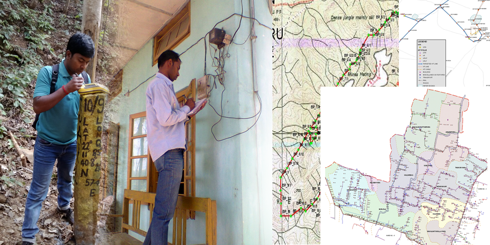
Survey is one of the appropriate and reliable data collection methods of GIS mapping especially for industries like utility, land management, urban development and planning, disaster management etc. There are basically two types of data needs to be collected in GIS; one is spatial data and another is attribute information.
Now days, different types of advanced survey methods are used mainly to collect spatial information of objects as well as related attributes. Some of the well adopted methods are GPS / DGPS survey, Total Station survey, Theodolite survey etc. Some of the other basic survey methods are also in significant use like cadastral survey, leveling, hydrographic survey, door-to-door survey etc.
Utilizing the collected spatial and non-spatial data through the different methods of survey, GIS can be developed for thematic visualization and data analysis through the standard mapping techniques as per different industry and requirements.
We are well equipped and have a dedicated experienced survey and mapping team to offer mostly all types of survey and mapping services and ensure industry standard deliverables in a cost effective manner.
