-
AI Chatbot & OCR in Land Management Software | LAMS Smart Automation
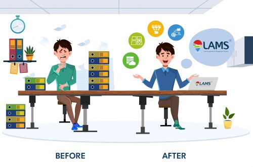
Land acquisition and land management processes involve large volumes of documentation, verification of landowner identity, and continuous monitoring of records. Traditionally, these tasks required extensive manual work, including entering data from identity documents such as Aadhaar cards, PAN cards and other land documents such as sale deeds into digital systems. Manual data entry not only consumes time but also increases the risk of human errors. For organizations managing large land assets, this can lead to inefficiencies, incorrect records, and delays in project execution. To solve these challenges, the LAMS (Land Acquisition & Management System) has introduced two powerful AI-driven modules: an AI Chatbot and an AI-based OCR document scanning system. These advanced technologies help automate routine tasks,…
-
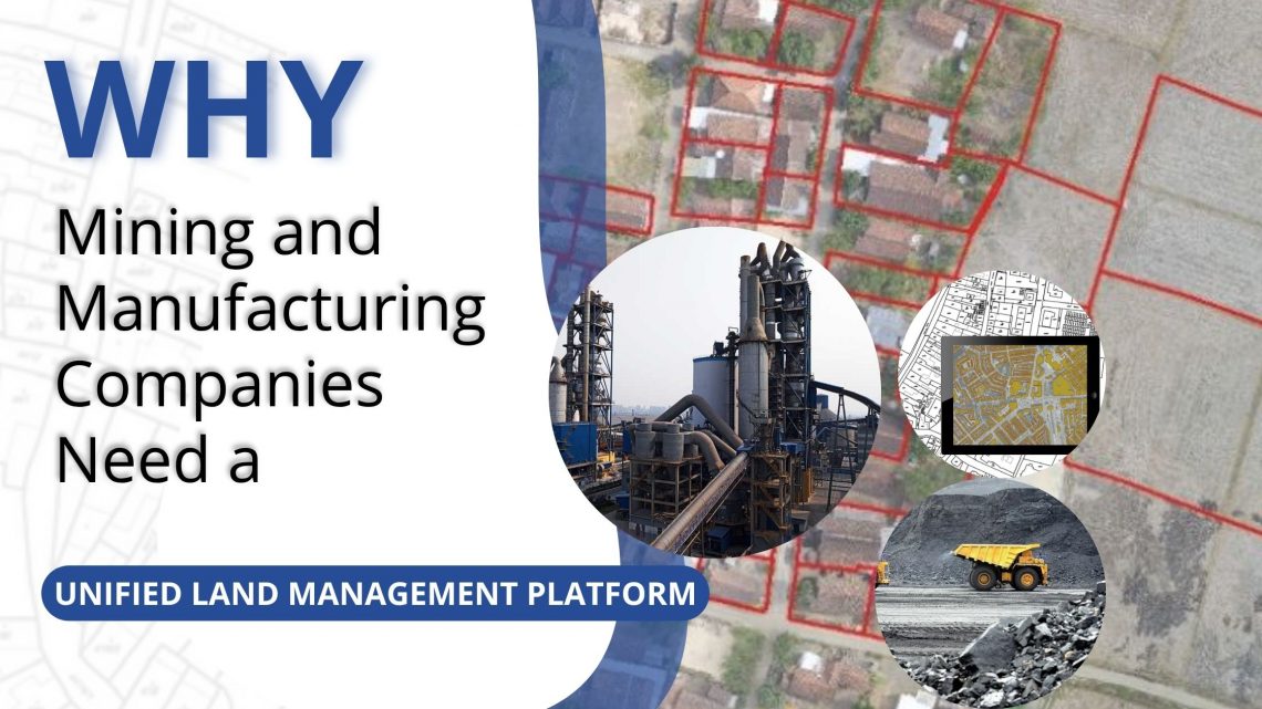
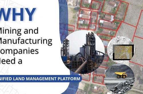
Why Mining and Manufacturing Companies Need a Unified Land Management Platform
In the mining and manufacturing sectors, land is not just a resource—it’s a strategic foundation. From mineral exploration to industrial expansion, every project starts with identifying, acquiring, and managing vast stretches of land. Yet, land administration remains one of the most complex, time-consuming, and risk-prone parts of project development. Fragmented records, manual processes, and disconnected systems often lead to delays, disputes, and compliance issues. To overcome these challenges, leading organizations are adopting all-in-one digital Land Management Platforms like LAMS — a GIS-enabled, cloud-based solution purpose-built for managing large, distributed land assets efficiently. 1. Managing Complex Land Portfolios Mining and manufacturing operations typically span multiple leases, permits, and zones, often across different…
-
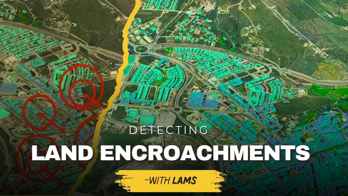
Detecting Unauthorized Structures and Encroachments on Your Land with LAMS
Land is one of the most valuable assets for individuals, businesses, and government bodies. However, protecting it from unauthorized structures, encroachments, and illegal occupation continues to be a major challenge. Traditional monitoring methods often fail to provide real-time, accurate insights—leading to disputes, financial losses, and even legal complications. This is where land acquisition and management system (LAMS) plays a crucial role. By integrating GIS-based land management solutions with advanced digital tools, LAMS empowers landowners and organizations to identify, monitor, and prevent encroachments effectively. Why Detecting Unauthorized Structures & Encroachments Is Important Prevents Financial Losses – Encroachments reduce the usable value of your land, affecting long-term revenue and development potential. Reduces Legal Disputes – Unauthorized construction often…
-
How Ownership Transfers Over Time: Inheritance, Sales, Leases, and Beyond
Land is one of the most valuable assets in society. Over generations, its ownership changes hands through inheritance, sales, leases, and allotments. For organizations, governments, and individuals, keeping track of these ownership transfers is not just a legal necessity—it’s essential for sustainable growth and transparent governance. This is where GIS-based land management solutions play a transformative role. Understanding Ownership Transfers 1. Inheritance Land often passes from one generation to another through inheritance. While this is one of the oldest forms of ownership transfer, it can also be the most complex due to disputes, unclear boundaries, or missing records. A Land Records Management System integrated with GIS-based land records management ensures…
-
Ensuring Compliance When Acquiring Land & Handling Land Litigation Cases
Acquiring land is more than a financial transaction—it requires navigating complex legal, regulatory, and administrative processes. Organizations today are increasingly turning to land management systems to streamline compliance, track documentation, and minimize disputes. This blog explores two critical aspects of real estate and property management: ensuring compliance during land acquisition and effectively handling land litigation cases. Ensuring Compliance When Acquiring Land Compliance failures during land acquisition can lead to ownership disputes, penalties, or project delays. A modern land management system can help automate checks, store records, and provide real-time compliance tracking. 1. Verify Title and Ownership Use land management software to maintain digital title records. Access historical deed information to…
-
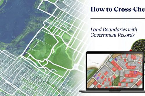
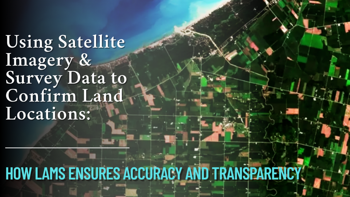
Using Satellite Imagery & Survey Data to Confirm Land Locations: How LAMS Ensures Accuracy and Transparency
In the age of digital transformation, managing land assets with precision has become a necessity for government bodies, infrastructure developers, and enterprises alike. With challenges like land disputes, overlapping claims, outdated land records, and encroachments plaguing traditional land management, the integration of satellite imagery and survey data offers a revolutionary approach. CyberSWIFT’s Land Management System (LAMS) leverages the power of satellite technology and on-ground surveys to validate, map, and manage land locations with unmatched accuracy. Why Accurate Land Location Matters Accurate land location data is foundational to: Resolving ownership disputes Preventing encroachments Accelerating land acquisition processes Ensuring compliance with government regulations Facilitating informed infrastructure planning and development Any ambiguity in land boundary definitions…
-
Smart Real Estate Management in 2025: How GIS and MIS Are Transforming Land Administration
The real estate industry is undergoing a major transformation in 2025, driven by digitalization, automation, and data-driven decision-making. With urbanization accelerating and real estate markets becoming more complex, traditional land management methods face significant challenges. Challenges in Traditional Land Management: Manual Record-Keeping: Paper-based property records are prone to errors, duplication, and loss. Fraud and Ownership Disputes: Lack of transparency in property transactions leads to legal disputes and fraud. Inefficiencies in Land Use Planning: Poor data management results in suboptimal zoning, environmental risks, and delayed development projects. To address these challenges, Geographic Information Systems (GIS) and Management Information Systems (MIS) are revolutionizing land administration by providing real-time data, automation, and predictive analytics. These technologies…
-
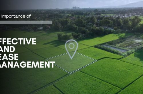
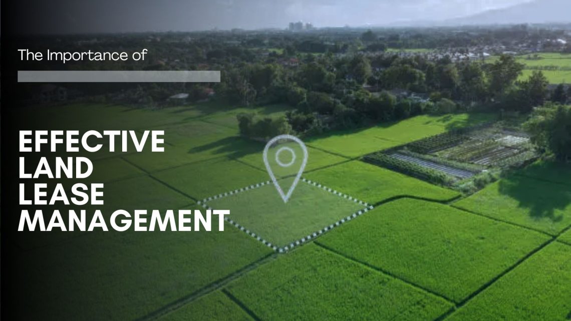
The Importance of Effective Land Lease Management
Managing land leases effectively is crucial for ensuring the optimal use of land assets, reducing financial risks, and fostering productive tenant relations. Whether for agricultural, industrial, or commercial purposes, land lease management involves maintaining clear agreements, robust record-keeping, and efficient communication with tenants. Modern tools like GIS-based land management systems play a transformative role in streamlining these processes. The Core Elements of Land Lease Management Effective land lease management encompasses three critical aspects: Lease Agreements Lease agreements form the foundation of any land lease arrangement. A well-crafted lease should: Clearly define the terms and conditions, such as lease duration, payment schedules, and permitted land use. Protect the interests of both parties,…
You May Also Like

Manage Land-related Legal Disputes Through the Legal & Court Case Management Module on LAMS
Empowering Renewable Energy Projects with Land Management and Land Acquisition Management Software
Linking Cadastral Maps and RoR Records: The Backbone of Modern GIS-Based Land Record Management
-
The Importance of Land Acquisition and Monitoring for Sustainable Development
Land acquisition and monitoring play a crucial role in shaping sustainable development by ensuring that land resources are used efficiently, equitably, and responsibly. Whether for infrastructure development, urban expansion, or agricultural projects, these processes must align with environmental and social goals. As the demand for land increases, the use of advanced tools like land management software, GIS-based land management systems, and land asset management software has become critical for driving sustainable outcomes. Why Land Acquisition and Monitoring Matter in Sustainable Development Land acquisition refers to the process of obtaining land for specific purposes, such as construction, mining, industries or agriculture and renewable energy generation. However, acquiring land alone is not sufficient;…
-
The Evolving Landscape of Land Management: Harnessing Technology for Sustainable Growth
As global challenges around land use intensify, the field of land management is undergoing significant transformation. Technology is playing a pivotal role in this evolution, offering innovative solutions to optimize land use, enhance productivity, and promote sustainable growth. From geographic information systems (GIS) and satellite imagery to advanced land management software and drones, these tools are enabling more efficient, informed, and environmentally conscious decision-making. This article explores ahow the integration of technology in land management practices is reshaping the future of sustainable land use and fostering a more balanced approach to development and conservation. Understanding Land Management Software: A Modern Necessity Land management software serves as a centralized platform for…
CyberSWIFT
Solutions With Innovative Future Technology