Land Records Management System Using GIS Technology
Introduction:
In India, land ownership is primarily established through a registered sale deed (a record of the property transaction between the buyer and seller). Other documents used to establish ownership include the record of rights (document with details of the property), property tax receipts, and survey documents. Land records consist of various types of information (property maps, sale deeds) and are maintained across different departments at the district or village level. These departments work in silos, and the data across departments is not updated properly. Hence, discrepancies are often noted in land records.
The district administration keeps land records to determine who owns and where the borders of a piece of land are, but often lacks an effective land management system that provides thorough information on every element. We continue to rely on antiquated procedures for keeping and producing Land records. This system of manual surveys, paper and cloth-bound cadastral maps, a non-uniform record of rights structures, each state maintaining its own hard copy register created in its own language, and a lack of committed and qualified individuals who can maintain and update these records in the record of rights, as well as the cadastral maps, prevents it from meeting the goal of being an efficient one.
What can be done?
Computerization is the obvious solution to each of these issues. The Indian government has already started taking steps to computerize the nation’s land records. The plan is currently being implemented across many districts, except for those where proper land records are lacking. A system that maintains the accurate record of lands and records of right ownership, and makes them available in a timely manner is in great demand because of inadequate land records management and outdated record-keeping procedures.
Any infrastructure development project that needs to be carried out, needs to have some fundamental macro and micro planning. Land and Land Record related information that is accurate and timely, is a basic requirement to complete this planning activity. Surveying of land with the aid of GPS Receiver / Total Stations is also necessary for this, and GIS should be used to link its attribute data with cadastral maps and village maps.
To get the most out of Land Records, a comprehensive land management solution is required for better accessibility, and deeper analysis by combining it with more field-level facts. The ultimate objective is to better serve users’ demands in an effective, efficient equitably. GIS is a technology that can be utilized efficiently for similar applications which will improve spatial analysis and visualization. Maps are an effective tool for monitoring, analyzing, and planning. It combines spatial and non-spatial datasets for better querying and visualization. Cadastral maps are useful to decision-makers on a daily basis at the local level. Though the present village map is non georeferenced, any precise high-level map is created using this data and from field-level surveys. Any decision-makers, planners, land managers, and regular citizens are in desperate need of accurate land and land record-related information.
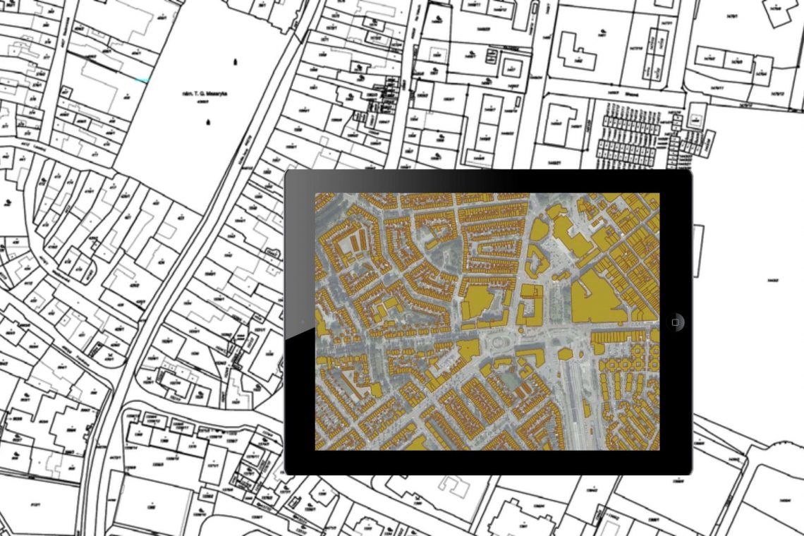
LAMS is a GIS-based Land Record Management System that can collect, store, analyze, and display land-related maps and data which can be used to meet today’s needs.
- The village maps are digitized and georeferenced using authoring software
- Field level information is collected with LAMS mobile app which can collect locational data, attribute information, photographs, and videos,
- Attach Land Record related documents like RoR and Deeds with a document scanner and in-built document management system. documents in GIS, and attribute data is placed in a data sheet to allow decision-makers, planners, land administrators, and regular citizens quickly locate land records.
- Host the entire data on a Web-enabled GIS Platform and integrated mobile app.
- Superimpose the cadastral data on google Maps/ google earth to identify the exact land parcel.
- Click on plot to get all Land related information like Plot Number, Owner details, Plot Area, Plot Type, Thana Number, Khata Number, etc.
Conclusion:
A system like this is an absolute need of the hour as it would provide accurate and up-to-date information about land records. In India, where land concerns are enormous, a tool like LAMS for managing land records would be extremely useful. By increasing the effectiveness and efficiency of land records management system it will help landowners, planners, decision-makers, and land administrators in planning and decision-making.

Currently heading the Business Development at CyberSWIFT, Dip is a Creative, Collaborative, Solution-Oriented Technologist, who is passionate about providing a Win/ Win situation to both Client and Company. With 10+ years of experience in the IT & Geospatial Industry, he has been in different shoes at different times viz. Strategic Business Development, Direct Sales, Project Management, Solution Architect, etc.


5 Comments
Janna
Asking questions are truly nice thing if you are not understanding anything fully,
except this piece of writing presents fastidious understanding yet.
Paresh Patel
Hi, Janna, we can understand your frustration. But you need to understand that a technical person will not be available on chat. Kindly write to info@cyberswift.com our technical team will assist you in detail. Don’t worry we would love to help you.
mr green store
Greetings! Very useful advice in this particular
article! It is the little changes that will make the most significant changes.
Thanks a lot for sharing!
Tammie GIS
Your style is very unique compared to other people I’ve read stuff from. I appreciate you for posting when you’ve got the opportunity,
Guess I’ll just bookmark this page.
Joey Grellar
I’ve read this publication and I want to suggest a few fascinating issues or suggestions. Maybe you could write the next articles relating to this article.
I want to read even more things about it!