CyberSWIFT

Solutions With Innovative Future Technology

CyberSWIFT
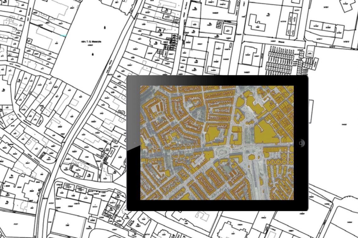
  • georeferencing of cadastral maps and presenting on google earth engine through kml file, showing on a tab, laptop, mobile
    GIS,  LAMS,  Land

    Land Records Management System Using GIS Technology

    29th September 2022 / 5 Comments

    Introduction: In India, land ownership is primarily established through a registered sale deed (a record of the property transaction between the buyer and seller). Other documents used to establish ownership include the record of rights (document with details of the property), property tax receipts, and survey documents. Land records consist of various types of information (property maps, sale deeds) and are maintained across different departments at the district or village level. These departments work in silos, and the data across departments is not updated properly.  Hence, discrepancies are often noted in land records.  The district administration keeps land records to determine who owns and where the borders of a piece…

    read more
    Dip Mitra

    You May Also Like

    GIS-based Project Monitoring System Help in Road Construction Management

    How Does a GIS-based Project Monitoring System Help in Road Construction Management?

    7th August 2023
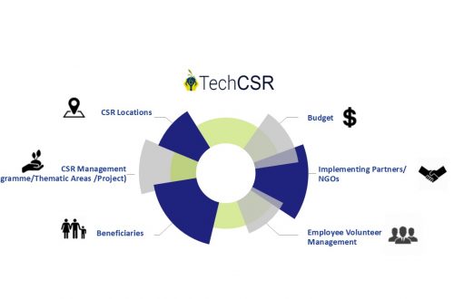
    corporate social responsibility software by techcsr

    Geo-Targeting Goodness: The Synergy Between GIS and Corporate Social Responsibility

    14th August 2024
    land and litigation management software

    Manage Land-related Legal Disputes Through the Legal & Court Case Management Module on LAMS

    12th September 2023
  • LAMS

    8 Common Misconceptions about Land Management

    23rd August 2022 / 0 Comments

    If you’re a working professional in the land domain, you know the time and effort it takes to manage the information. Many are inclined to opt for automated tools to manage but get discouraged considering common myths believed in the industry. Check below to see if your judgment has been clouded by any of the following: 1. High Cost It is a common misconception that managing properties requires a lot of expenses. That is not the case. Currently, there are many players in the market providing high-end tools and services in exchange of a rather small fee. The cost of these services will save you a lot of additional expenses…
    read more
    Sucheta Karmakar

    You May Also Like

    AI and GIS-Driven Compensatory Land Allocation System

    Advantages of AI and GIS-Driven Compensatory Land Allocation System

    12th September 2023
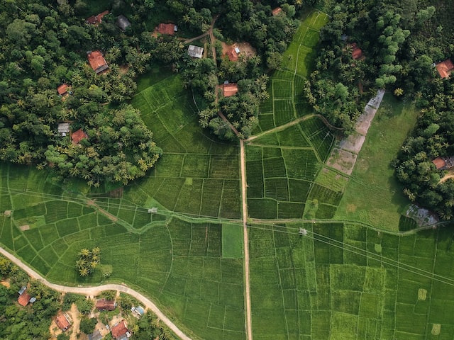
    agriculture land with map pin to define the land area

    Revolutionizing Land Management with Land Information Management Systems

    30th March 2023
    how to crosscheck land boundaries with government records

    How to Cross-Check Land Boundaries with Government Records

    24th March 2025

Back to site

RECENT POSTS

  • transforming forest management through digital innovationTransforming Forest Management Through Digital Innovation
  • transforming power distribution through gis-based survey and mapping solutionsTransforming Power Distribution Through GIS-Based Survey & Mapping Solutions
  • gis-based project progress monitoring system for construction government infrastructure projectsGIS-Based Project Progress Monitoring System for Construction & Government Infrastructure Projects
  • gis property mapping survey and qr-based uid system for municipal governanceGIS Property Mapping Survey and QR-Based UID System for Municipal Governance: A Complete Digital Transformation Framework

Categories

  • Artificial Intelligence
  • CSR
  • Forest Management
  • GIS
    • Disaster Management
  • Healthcare
  • Hoarding Management
  • LAMS
  • Land
  • Oil and Gas
  • Power Utility
  • Project Monitoring
  • Property Survey
  • RCMS
  • Remote Sensing
  • Retail
  • Salesforce
  • Telecom Utility
  • Uncategorised
    • Project Progress Monitoring System
  • Urban Development
  • Utility
  • Water Utility Solution
Copyright © 1997-2026 CyberSWIFT® Infotech Pvt. Ltd.
Ashe Theme by WP Royal.