How to Identify the Correct Plot of Land Using GIS & Cadastral Maps
In real estate, infrastructure development, and urban planning, precise land parcel identification is essential. Whether acquiring land for a new project, managing large agricultural tracts, or overseeing land assets for a government or corporate entity, inaccuracies can result in legal conflicts, project setbacks, and financial risks. This is where GIS (Geographic Information System) and cadastral maps come into play—serving as the technological foundation of modern land management, enabling users to accurately locate and verify land plots with confidence.
Let’s explore how GIS and cadastral mapping technologies help in identifying the correct plot of land and how land management systems are revolutionizing land-related operations.
Understanding GIS and Cadastral Maps
What is GIS?
GIS (Geographic Information System) is a digital tool that captures, stores, analyzes, and visualizes spatial or geographic data. When applied to land management, GIS provides detailed insights into land boundaries, topography, land use, ownership, and more. It’s an essential component in land asset management software and land management system software, allowing stakeholders to make data-driven decisions.
What are Cadastral Maps?
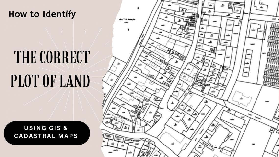
Cadastral maps are detailed representations of land parcels, showing boundaries, dimensions, ownership, and other vital data. These maps are legally recognized documents used for taxation, ownership, and land transfer purposes. When integrated with GIS, cadastral maps can be digitized and layered with various data points for advanced analysis.
Steps to Identify the Correct Plot of Land Using GIS and Cadastral Maps
1. Digitization of Cadastral Data
The first step involves converting physical cadastral maps into digital formats using GIS tools. High-resolution satellite imagery and drone surveys are often used to enhance the accuracy of the maps. This step ensures all land records are safely stored in digital land management systems, eliminating reliance on outdated paper maps.
2. Layering Geographic Data
Once cadastral data is digitized, GIS software overlays multiple layers of geographic data, such as land elevation, infrastructure, vegetation cover, and water bodies. This helps stakeholders visualize the land in context and differentiate plots with ease.
3. Verification with Ground Control Points (GCPs)
For precise identification, GIS tools use Ground Control Points (GCPs) —coordinates verified on the ground—to align digital maps accurately with real-world locations. This is particularly helpful in land acquisition software where on-ground verification is a legal necessity.
4. Plot Identification Using Coordinates
Using latitude and longitude or other spatial data, users can zoom into the exact plot of land in question. GIS platforms highlight the plot’s boundary, size, and attributes, helping users match it against legal cadastral data. This process ensures you’re identifying the correct plot of land, minimizing errors in land transactions.
5. Verify Land Boundaries & Ownership
Compare the GIS-generated parcel with official cadastral maps. Ensure land dimensions match with survey records. This will help in checking discrepancies or overlapping claims.
Advantages of Using GIS and Cadastral Maps in Land Management
✔ Precision in Land Identification
GIS-based cadastral mapping allows stakeholders to locate and validate land parcels with pinpoint accuracy, reducing the risk of overlapping claims or boundary disputes.
✔ Efficient Land Records Management
With a land management system, users can store, retrieve, and update land data effortlessly. This enhances decision-making, especially for large-scale projects involving multiple land parcels.
✔ Streamlined Land Acquisition
Land acquisition software integrated with GIS simplifies the acquisition process by offering a clear view of land boundaries, ownership, and accessibility, ensuring faster project initiation.
✔ Improved Land Asset Monitoring
Businesses and governments can track and manage their land assets in real time using land asset management software, optimizing asset utilization and minimizing encroachments.
Recommended Read: Land Records Management System Using GIS Technology
Role of Land Management Systems in Identifying Land Parcels
Modern land management system software combines GIS, cadastral data, and advanced analytics to provide an all-in-one solution for land-related operations. From land allotment to lease management, and from survey data management to automated reports, these systems enhance transparency, accountability, and operational efficiency.
For instance, a robust land software solution can alert users about potential legal conflicts, land availability, and market value trends—all while ensuring compliance with regulatory norms.
Final Thoughts
Identifying the correct plot of land no longer has to be a complex, error-prone process. By leveraging GIS technology and cadastral maps, supported by powerful land management solutions, stakeholders can ensure accuracy, legal compliance, and operational efficiency. Whether you’re a real estate developer, a government body, or a corporate entity managing multiple land assets, investing in land management system software or land acquisition software can drastically improve your land operations.
In an era where land is one of the most valuable assets, tools like GIS and land software are indispensable for responsible and effective land management.

Darshana Mukherjee is a Senior Consultant in Business Development with over 11 years of experience in sales, primarily focused on the Geospatial IT industry. Her expertise lies in driving business growth through strategic partnerships, client engagement, and delivering solutions. She combines her technical knowledge with business acumen to contribute effectively to organizational success.
Darshana Mukherjee
Darshana Mukherjee is a Senior Consultant in Business Development with over 11 years of experience in sales, primarily focused on the Geospatial IT industry. Her expertise lies in driving business growth through strategic partnerships, client engagement, and delivering solutions. She combines her technical knowledge with business acumen to contribute effectively to organizational success.


You May Also Like

Ensuring Compliance When Acquiring Land & Handling Land Litigation Cases

Things to Consider Before Buying a Land Management Platform:
