-
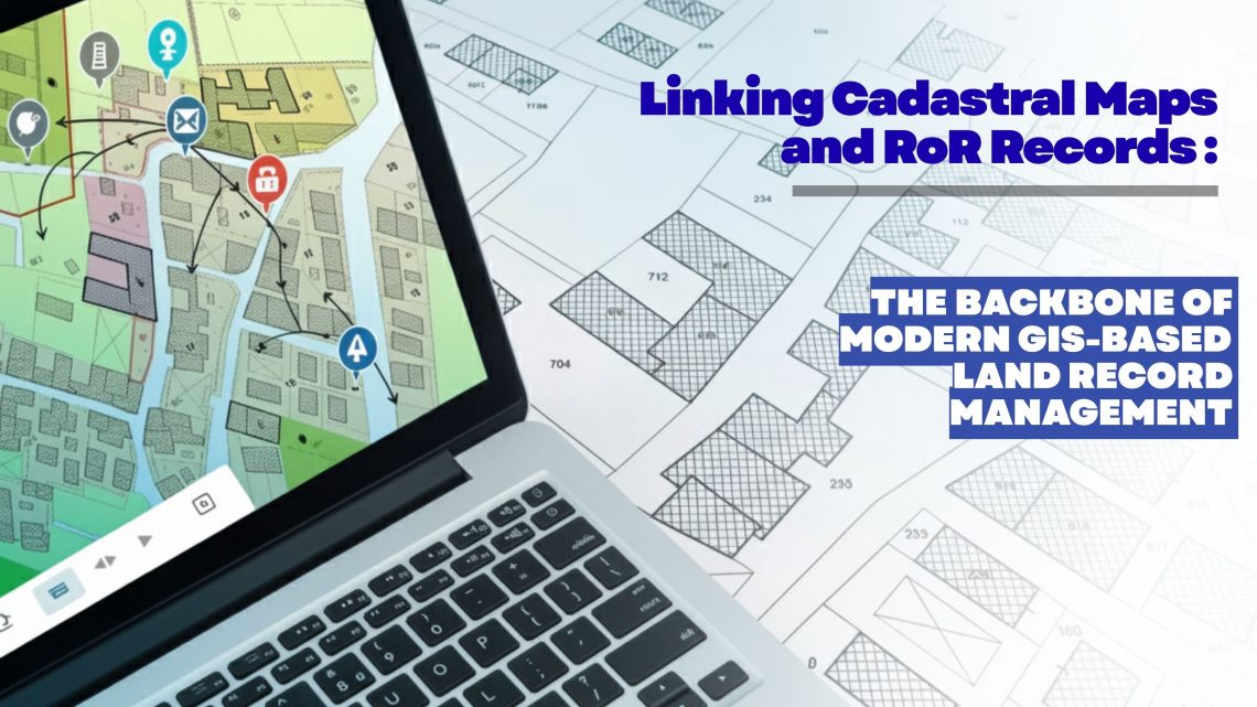
Linking Cadastral Maps and RoR Records: The Backbone of Modern GIS-Based Land Record Management
Accurate, transparent and easily accessible land information has become a strategic requirement for governments, utilities, infrastructure developers, renewable energy companies, mining corporations and real estate enterprises. As organizations expand, acquire new parcels, or manage large land banks, the ability to trust and validate land ownership data becomes essential. This is where the digital integration of Cadastral Maps and Record of Rights (RoR) emerges as a game changer—especially when executed through an advanced GIS-based land management platform like LAMS (Land Acquisition and Management System). Why Linking Cadastral Maps and RoR Matters Today Traditionally, cadastral maps and RoR records were maintained as separate datasets—one spatial, one textual—leading to inconsistencies, duplication, and errors during land…
-
Ensuring Compliance When Acquiring Land & Handling Land Litigation Cases
Acquiring land is more than a financial transaction—it requires navigating complex legal, regulatory, and administrative processes. Organizations today are increasingly turning to land management systems to streamline compliance, track documentation, and minimize disputes. This blog explores two critical aspects of real estate and property management: ensuring compliance during land acquisition and effectively handling land litigation cases. Ensuring Compliance When Acquiring Land Compliance failures during land acquisition can lead to ownership disputes, penalties, or project delays. A modern land management system can help automate checks, store records, and provide real-time compliance tracking. 1. Verify Title and Ownership Use land management software to maintain digital title records. Access historical deed information to…
-
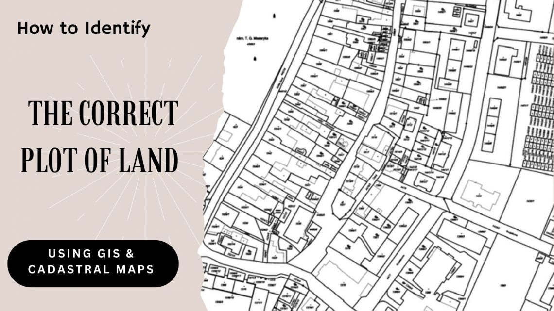
How to Identify the Correct Plot of Land Using GIS & Cadastral Maps
In real estate, infrastructure development, and urban planning, precise land parcel identification is essential. Whether acquiring land for a new project, managing large agricultural tracts, or overseeing land assets for a government or corporate entity, inaccuracies can result in legal conflicts, project setbacks, and financial risks. This is where GIS (Geographic Information System) and cadastral maps come into play—serving as the technological foundation of modern land management, enabling users to accurately locate and verify land plots with confidence. Let’s explore how GIS and cadastral mapping technologies help in identifying the correct plot of land and how land management systems are revolutionizing land-related operations. Understanding GIS and Cadastral Maps What is GIS? GIS…
CyberSWIFT
Solutions With Innovative Future Technology