CyberSWIFT

Solutions With Innovative Future Technology

CyberSWIFT
  • how to identify the correct plot of land using gis and cadastral maps
    LAMS

    How to Identify the Correct Plot of Land Using GIS & Cadastral Maps

    20th March 2025 / 0 Comments

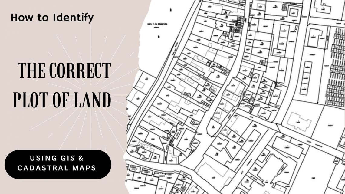
    In real estate, infrastructure development, and urban planning, precise land parcel identification is essential. Whether acquiring land for a new project, managing large agricultural tracts, or overseeing land assets for a government or corporate entity, inaccuracies can result in legal conflicts, project setbacks, and financial risks. This is where GIS (Geographic Information System) and cadastral maps come into play—serving as the technological foundation of modern land management, enabling users to accurately locate and verify land plots with confidence. Let’s explore how GIS and cadastral mapping technologies help in identifying the correct plot of land and how land management systems are revolutionizing land-related operations. Understanding GIS and Cadastral Maps What is GIS? GIS…

    read more
    Darshana Mukherjee

    You May Also Like

    Things to Consider Before Buying a Land Management Platform:

    5th May 2023
    georeferencing of cadastral maps and presenting on google earth engine through kml file, showing on a tab, laptop, mobile

    Land Records Management System Using GIS Technology

    29th September 2022
    smart real estate management in 2025 how gis and mis are transforming land administration

    Smart Real Estate Management in 2025: How GIS and MIS Are Transforming Land Administration

    12th February 2025

Back to site

RECENT POSTS

  • using satellite imagery & survey data to confirm land locations how lams ensures accuracy and transparencyUsing Satellite Imagery & Survey Data to Confirm Land Locations: How LAMS Ensures Accuracy and Transparency
  • urban development property survey mapping powering smart cities with precisionUrban Development Property Survey & Mapping: Powering Smart Cities with Precision
  • how to crosscheck land boundaries with government recordsHow to Cross-Check Land Boundaries with Government Records
  • how to identify the correct plot of land using gis and cadastral mapsHow to Identify the Correct Plot of Land Using GIS & Cadastral Maps

Categories

  • Artificial Intelligence
  • CSR
  • GIS
    • Disaster Management
  • Healthcare
  • Hoarding Management
  • LAMS
  • Land
  • Oil and Gas
  • Project Monitoring
  • RCMS
  • Remote Sensing
  • Retail
  • Salesforce
  • Telecom Utility
  • Uncategorised
    • Project Progress Monitoring System
  • Urban Development
  • Utility
  • Water Utility Solution
Copyright © 1997-2025 CyberSWIFT® Infotech Pvt. Ltd.
Ashe Theme by WP Royal.