CyberSWIFT

Solutions With Innovative Future Technology

CyberSWIFT
  • empowering renewable energy projects with land management and land acquisition management software
    LAMS

    Empowering Renewable Energy Projects with Land Management and Land Acquisition Management Software

    28th November 2024 / 0 Comments

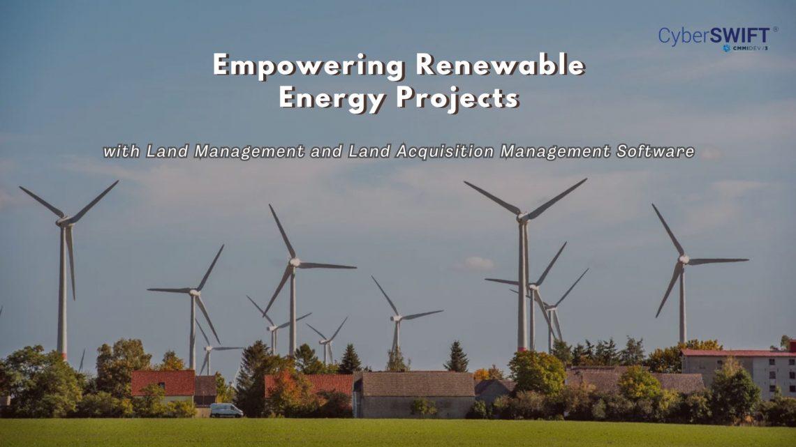
    The renewable energy sector is rapidly expanding, with projects like solar farms, wind energy parks, and hydroelectric plants requiring extensive and efficient land management. Given the challenges of securing and managing land parcels for large-scale operations, land management and land acquisition management software have emerged as critical tools to streamline operations and ensure project success. The Role of Land Management in Renewable Energy Land management in the renewable energy sector involves identifying suitable land parcels, ensuring compliance with regulatory frameworks, and maintaining land records for operational efficiency. Renewable energy projects often demand vast stretches of land, free from encumbrances, with optimal geographical and climatic conditions. Effective land management ensures: Compliance with Regulations:…

    read more
    Darshana Mukherjee

    You May Also Like

    the importance of land acquisition and monitoring for sustainable development

    The Importance of Land Acquisition and Monitoring for Sustainable Development

    21st October 2024
    smart real estate management in 2025 how gis and mis are transforming land administration

    Smart Real Estate Management in 2025: How GIS and MIS Are Transforming Land Administration

    12th February 2025
    how to crosscheck land boundaries with government records

    How to Cross-Check Land Boundaries with Government Records

    24th March 2025

Back to site

RECENT POSTS

  • ensuring compliance when acquiring land & handling land litigation casesEnsuring Compliance When Acquiring Land & Handling Land Litigation Cases
  • a gis-based approach to road condition monitoring and pothole detection using aiA GIS-Based Approach to Road Condition Monitoring and Pothole Detection using AI
  • avoiding land disputes how to verify multiple claimants on a propertyAvoiding Land Disputes: How to Verify Multiple Claimants on a Property
  • using satellite imagery & survey data to confirm land locations how lams ensures accuracy and transparencyUsing Satellite Imagery & Survey Data to Confirm Land Locations: How LAMS Ensures Accuracy and Transparency

Categories

  • Artificial Intelligence
  • CSR
  • GIS
    • Disaster Management
  • Healthcare
  • Hoarding Management
  • LAMS
  • Land
  • Oil and Gas
  • Project Monitoring
  • RCMS
  • Remote Sensing
  • Retail
  • Salesforce
  • Telecom Utility
  • Uncategorised
    • Project Progress Monitoring System
  • Urban Development
  • Utility
  • Water Utility Solution
Copyright © 1997-2025 CyberSWIFT® Infotech Pvt. Ltd.
Ashe Theme by WP Royal.