-
How to Identify the Correct Plot of Land Using GIS & Cadastral Maps
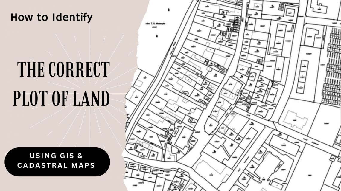
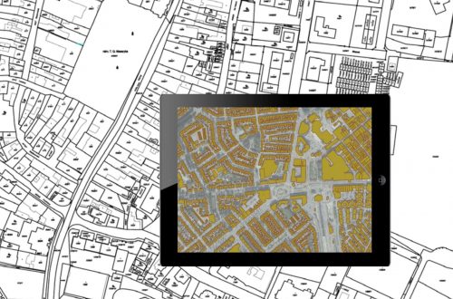
In real estate, infrastructure development, and urban planning, precise land parcel identification is essential. Whether acquiring land for a new project, managing large agricultural tracts, or overseeing land assets for a government or corporate entity, inaccuracies can result in legal conflicts, project setbacks, and financial risks. This is where GIS (Geographic Information System) and cadastral maps come into play—serving as the technological foundation of modern land management, enabling users to accurately locate and verify land plots with confidence. Let’s explore how GIS and cadastral mapping technologies help in identifying the correct plot of land and how land management systems are revolutionizing land-related operations. Understanding GIS and Cadastral Maps What is GIS? GIS…


