-
Ensuring Compliance When Acquiring Land & Handling Land Litigation Cases
Acquiring land is more than a financial transaction—it requires navigating complex legal, regulatory, and administrative processes. Organizations today are increasingly turning to land management systems to streamline compliance, track documentation, and minimize disputes. This blog explores two critical aspects of real estate and property management: ensuring compliance during land acquisition and effectively handling land litigation cases. Ensuring Compliance When Acquiring Land Compliance failures during land acquisition can lead to ownership disputes, penalties, or project delays. A modern land management system can help automate checks, store records, and provide real-time compliance tracking. 1. Verify Title and Ownership Use land management software to maintain digital title records. Access historical deed information to…
-
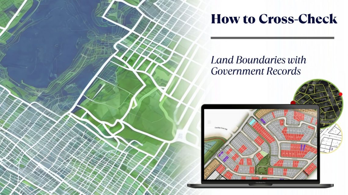
How to Cross-Check Land Boundaries with Government Records
Accurately verifying land boundaries is a crucial step in any land-related transaction—be it purchase, sale, lease, or development. Inaccurate or unclear boundaries can lead to legal disputes, financial losses, or project delays. One of the most effective ways to prevent such issues is by cross-checking land boundaries with official government records. Thanks to technological advancements, especially in GIS-based land management systems and land records management systems, this process is now more efficient, accurate, and accessible than ever. In this blog, we explore the importance of cross-verifying land boundaries and the tools that simplify the process, such as land allotment software, land information management systems, and land lease management tools. Why Cross-Checking…


