-
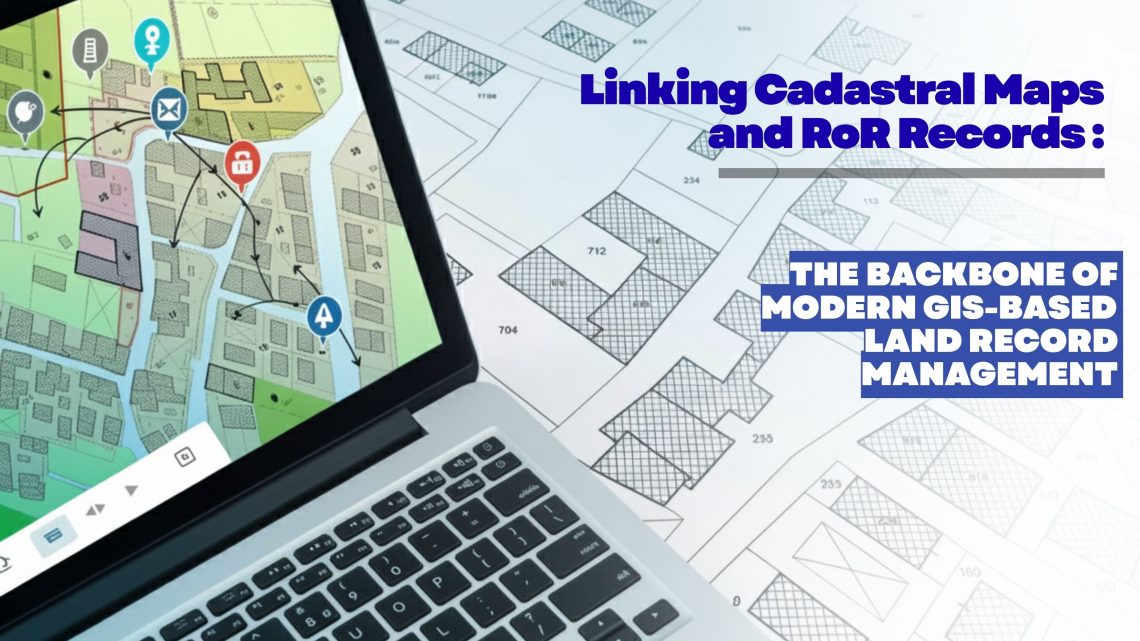
Linking Cadastral Maps and RoR Records: The Backbone of Modern GIS-Based Land Record Management
Accurate, transparent and easily accessible land information has become a strategic requirement for governments, utilities, infrastructure developers, renewable energy companies, mining corporations and real estate enterprises. As organizations expand, acquire new parcels, or manage large land banks, the ability to trust and validate land ownership data becomes essential. This is where the digital integration of Cadastral Maps and Record of Rights (RoR) emerges as a game changer—especially when executed through an advanced GIS-based land management platform like LAMS (Land Acquisition and Management System). Why Linking Cadastral Maps and RoR Matters Today Traditionally, cadastral maps and RoR records were maintained as separate datasets—one spatial, one textual—leading to inconsistencies, duplication, and errors during land…
CyberSWIFT
Solutions With Innovative Future Technology