CyberSWIFT

Solutions With Innovative Future Technology

CyberSWIFT
  • Case Study of Samiksha - an ambitious e-Governance initiative of PWD West Bengal
    GIS,  Project Progress Monitoring System

    Case Study of Samiksha – an ambitious e-Governance initiative of PWD West Bengal

    21st October 2021 / 1 Comment

    ‘SAMIKSHA’ Project Progress Monitoring System is an ambitious e-Governance initiative of PWD West Bengal where a web and mobile-based software application was built to monitor the progress of various construction & maintenance projects for Roads, Bridges, and Buildings throughout the state. The initial application was implemented in June 2016 which helped 5000+ users of the department with consistent project monitoring and successful completion of more than 6000+ projects in the past 3 years.For transforming the monitoring and management system of the Public Works Department, ‘Samiksha’ PPMS succeeded in bringing about digitally enabled, real-time and interactive modes of tracking projects. This led to a sea change in the performance of the…


    read more
    Dip Mitra

    You May Also Like

    agriculture land with map pin to define the land area

    Revolutionizing Land Management with Land Information Management Systems

    30th March 2023
    land litigation software

    Discover The Importance of Land Software in Land-Related Litigation Cases

    23rd June 2023
    AI and GIS-Driven Compensatory Land Allocation System

    Advantages of AI and GIS-Driven Compensatory Land Allocation System

    12th September 2023

Back to site

RECENT POSTS

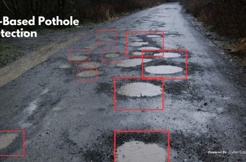
  • a gis-based approach to road condition monitoring and pothole detection using aiA GIS-Based Approach to Road Condition Monitoring and Pothole Detection using AI
  • avoiding land disputes how to verify multiple claimants on a propertyAvoiding Land Disputes: How to Verify Multiple Claimants on a Property
  • using satellite imagery & survey data to confirm land locations how lams ensures accuracy and transparencyUsing Satellite Imagery & Survey Data to Confirm Land Locations: How LAMS Ensures Accuracy and Transparency
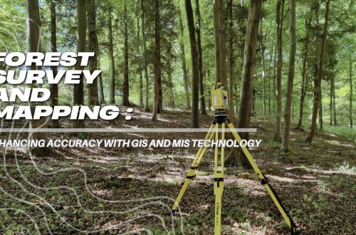
  • urban development property survey mapping powering smart cities with precisionUrban Development Property Survey & Mapping: Powering Smart Cities with Precision

Categories

  • Artificial Intelligence
  • CSR
  • GIS
    • Disaster Management
  • Healthcare
  • Hoarding Management
  • LAMS
  • Land
  • Oil and Gas
  • Project Monitoring
  • RCMS
  • Remote Sensing
  • Retail
  • Salesforce
  • Telecom Utility
  • Uncategorised
    • Project Progress Monitoring System
  • Urban Development
  • Utility
  • Water Utility Solution
Copyright © 1997-2025 CyberSWIFT® Infotech Pvt. Ltd.
Ashe Theme by WP Royal.