CyberSWIFT

Solutions With Innovative Future Technology

CyberSWIFT
  • using satellite imagery & survey data to confirm land locations how lams ensures accuracy and transparency
    Land

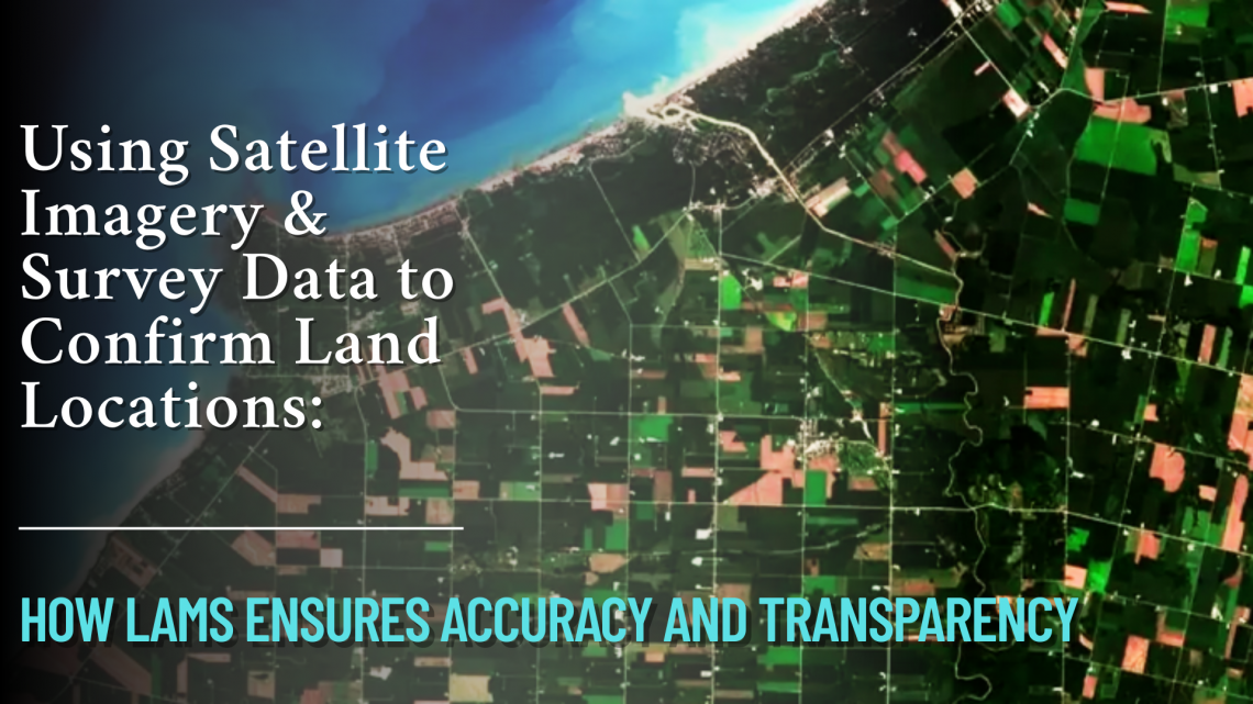
    Using Satellite Imagery & Survey Data to Confirm Land Locations: How LAMS Ensures Accuracy and Transparency

    15th May 2025 / 0 Comments

    In the age of digital transformation, managing land assets with precision has become a necessity for government bodies, infrastructure developers, and enterprises alike. With challenges like land disputes, overlapping claims, outdated land records, and encroachments plaguing traditional land management, the integration of satellite imagery and survey data offers a revolutionary approach. CyberSWIFT’s Land Management System (LAMS) leverages the power of satellite technology and on-ground surveys to validate, map, and manage land locations with unmatched accuracy. Why Accurate Land Location Matters Accurate land location data is foundational to: Resolving ownership disputes Preventing encroachments Accelerating land acquisition processes Ensuring compliance with government regulations Facilitating informed infrastructure planning and development Any ambiguity in land boundary definitions…

    read more
    Darshana Mukherjee

    You May Also Like

    Things to Consider Before Buying a Land Management Platform:

    5th May 2023
    the evolving landscape of land management harnessing technology for sustainable growth

    The Evolving Landscape of Land Management: Harnessing Technology for Sustainable Growth

    2nd September 2024
    land and litigation management software

    Manage Land-related Legal Disputes Through the Legal & Court Case Management Module on LAMS

    12th September 2023

Back to site

RECENT POSTS

  • avoiding land disputes how to verify multiple claimants on a propertyAvoiding Land Disputes: How to Verify Multiple Claimants on a Property
  • using satellite imagery & survey data to confirm land locations how lams ensures accuracy and transparencyUsing Satellite Imagery & Survey Data to Confirm Land Locations: How LAMS Ensures Accuracy and Transparency
  • urban development property survey mapping powering smart cities with precisionUrban Development Property Survey & Mapping: Powering Smart Cities with Precision
  • how to crosscheck land boundaries with government recordsHow to Cross-Check Land Boundaries with Government Records

Categories

  • Artificial Intelligence
  • CSR
  • GIS
    • Disaster Management
  • Healthcare
  • Hoarding Management
  • LAMS
  • Land
  • Oil and Gas
  • Project Monitoring
  • RCMS
  • Remote Sensing
  • Retail
  • Salesforce
  • Telecom Utility
  • Uncategorised
    • Project Progress Monitoring System
  • Urban Development
  • Utility
  • Water Utility Solution
Copyright © 1997-2025 CyberSWIFT® Infotech Pvt. Ltd.
Ashe Theme by WP Royal.