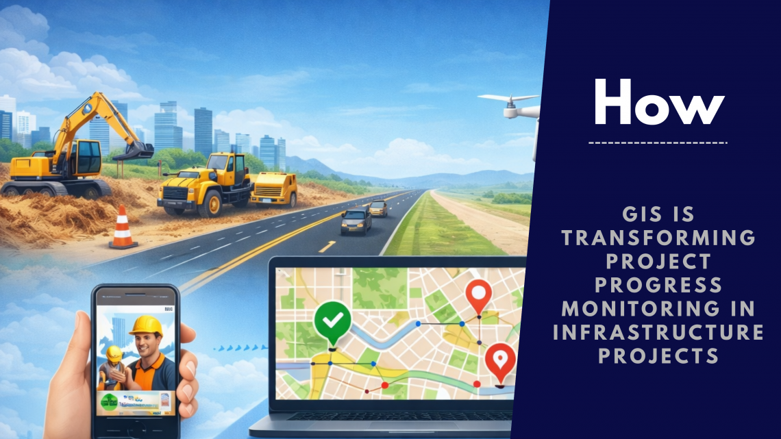
How GIS is Transforming Project Progress Monitoring in Infrastructure Projects
Infrastructure projects—whether highways, building, railways, or pipelines operations—are complex, multi-layered, and spread across vast geographies. Managing timelines, resources, and on-ground activities has always been a challenge. Traditional tracking methods often fall short due to lack of real-time visibility and coordination gaps.
This is where a GIS-based project progress monitoring system is changing the game.
The Limitations of Traditional Project Monitoring
Before digital transformation, most organizations relied on manual reporting, spreadsheets, and fragmented tools. While these methods provided basic tracking, they lacked:
- Real-time updates from the field
- Accurate location-based insights
- Visual representation of project progress
- Centralized data access
As a result, delays, cost overruns, and miscommunication became common issues.
A modern project progress monitoring system must go beyond static reports—it needs to be dynamic, visual, and data-driven.
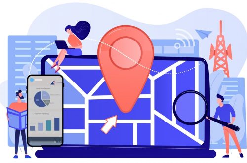
What is a GIS-Based Project Progress Monitoring System?
A GIS-based project progress monitoring system integrates geographic data with project tracking tools to provide a spatial view of progress.
In simple terms, it allows you to:
- Track project activities on a live map
- Monitor site-wise progress in real time
- Capture geo-tagged images and updates
- Analyze delays and bottlenecks geographically
This transforms a standard progress monitoring system into a powerful decision-making platform.
Key Ways GIS is Transforming Project Monitoring
1. Real-Time Field Data Collection
With mobile integration, field teams can update progress instantly using a web based project progress monitoring system. Geo-tagged photos, site updates, and task completion statuses are uploaded directly from the field.
This eliminates delays in reporting and ensures data accuracy.
2. Map-Based Visualization of Progress
Unlike traditional tools, a project progress monitoring system powered by GIS provides a visual map interface.
Project managers can:
- View completed vs pending work geographically
- Identify slow-progress zones
- Track multiple project sites on a single dashboard
This visual clarity significantly improves decision-making.
3. Improved Transparency and Accountability
A GIS-enabled work progress monitoring system creates a transparent ecosystem where every update is time-stamped and location-verified.
This helps:
- Reduce false reporting
- Improve contractor accountability
- Maintain audit-ready records
4. Centralized Data Management
A modern project monitoring software consolidates all project-related data—maps, reports, images, and analytics—into a single platform.
This ensures:
- Better collaboration across teams
- Easy access to historical data
- Streamlined reporting
5. Faster Decision-Making
With real-time insights and spatial analytics, stakeholders can quickly identify issues and take corrective action.
For example:
- Detecting delays in specific regions
- Allocating resources efficiently
- Prioritizing critical project areas
A GIS-driven IT based project progress monitoring system empowers managers with actionable intelligence.
6. Integration with Advanced Technologies
GIS systems can be integrated with:
- Drones for aerial monitoring
- IoT sensors for real-time data
- AI analytics for predictive insights
This enhances the capabilities of a project progress monitoring system, making it future-ready.
Use Cases in Infrastructure Projects
Road & Highway Projects
Track construction progress across kilometers with real-time updates.
Energy & Pipeline Projects
Visualize pipeline routes and monitor installation progress geographically.
Why Businesses Are Adopting GIS-Based Monitoring Systems
Organizations are rapidly shifting to web based project progress monitoring systems because they offer:
- Enhanced efficiency
- Reduced project delays
- Better cost control
- Real-time collaboration
- Data-driven decision-making
In today’s competitive environment, relying solely on traditional tools is no longer sustainable.
The Future of Project Monitoring
The future lies in intelligent, integrated platforms where GIS plays a central role. A next-generation project progress monitoring system will combine:
- GIS mapping
- AI-driven analytics
- Real-time field data
- Cloud-based accessibility
Together, these technologies will redefine how infrastructure projects are planned, executed, and monitored.
Conclusion
GIS is no longer just a mapping tool—it has evolved into a critical component of modern infrastructure management. By transforming a basic progress monitoring system into an intelligent, visual, and real-time platform, GIS enables organizations to achieve better control, transparency, and efficiency.
Adopting a robust project monitoring software with GIS capabilities is not just an upgrade—it’s a strategic necessity for successful project execution in today’s digital era.

Experienced Consultant with a demonstrated history of working in the Information Technology and Services Industry. My role at CyberSWIFT Infotech Pvt. Ltd. is all about building Business Relationships & nurturing them with my ability & trust for growth. My Skills involve Business Communication, Business Analysis, Strategy Formulation & Planning, Understanding Customer Requirements, Providing Geospatial Solutions , Conducting DGPS Survey , Building WebGIS Applications & implementing many more GIS-based smart strategies to cater to the needs of my client.
Aman Prabhakar
Experienced Consultant with a demonstrated history of working in the Information Technology and Services Industry. My role at CyberSWIFT Infotech Pvt. Ltd. is all about building Business Relationships & nurturing them with my ability & trust for growth. My Skills involve Business Communication, Business Analysis, Strategy Formulation & Planning, Understanding Customer Requirements, Providing Geospatial Solutions , Conducting DGPS Survey , Building WebGIS Applications & implementing many more GIS-based smart strategies to cater to the needs of my client.

You May Also Like
Project Progress Monitoring System: Revolutionizing Project Management with GIS and MIS