CyberSWIFT

Solutions With Innovative Future Technology

CyberSWIFT
  • urban development property survey mapping powering smart cities with precision
    Urban Development

    Urban Development Property Survey & Mapping: Powering Smart Cities with Precision

    22nd April 2025 / 0 Comments

    As cities continue to grow rapidly, efficient property administration and urban planning have become more crucial than ever. A property survey and mapping system acts as the foundation for sustainable urban development, facilitating everything from infrastructure planning to legal property ownership. By integrating cutting-edge technologies like Geographic Information Systems (GIS), Unmanned Aerial Vehicles (UAVs), and centralized digital property databases, municipalities and private developers can ensure accurate, transparent, and accessible property records. Let’s explore how this process works, why it’s essential, and how it’s shaping the future of smart cities. Why Property Survey & Mapping is Essential in Urban Development Inaccurate property boundaries, outdated property records, and unchecked encroachments have long hindered…

    read more
    Avik Bhattacharya

    You May Also Like

    GIS-based Project Monitoring System Help in Road Construction Management

    How Does a GIS-based Project Monitoring System Help in Road Construction Management?

    7th August 2023
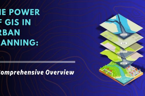
    the power of gis in urban planning a comprehensive overview

    The Power of GIS in Urban Planning: A Comprehensive Overview

    13th December 2024

Back to site

RECENT POSTS

  • using satellite imagery & survey data to confirm land locations how lams ensures accuracy and transparencyUsing Satellite Imagery & Survey Data to Confirm Land Locations: How LAMS Ensures Accuracy and Transparency
  • urban development property survey mapping powering smart cities with precisionUrban Development Property Survey & Mapping: Powering Smart Cities with Precision
  • how to crosscheck land boundaries with government recordsHow to Cross-Check Land Boundaries with Government Records
  • how to identify the correct plot of land using gis and cadastral mapsHow to Identify the Correct Plot of Land Using GIS & Cadastral Maps

Categories

  • Artificial Intelligence
  • CSR
  • GIS
    • Disaster Management
  • Healthcare
  • Hoarding Management
  • LAMS
  • Land
  • Oil and Gas
  • Project Monitoring
  • RCMS
  • Remote Sensing
  • Retail
  • Salesforce
  • Telecom Utility
  • Uncategorised
    • Project Progress Monitoring System
  • Urban Development
  • Utility
  • Water Utility Solution
Copyright © 1997-2025 CyberSWIFT® Infotech Pvt. Ltd.
Ashe Theme by WP Royal.