CyberSWIFT

Solutions With Innovative Future Technology

CyberSWIFT
  • forest survey and mapping enhancing accuracy with gis and mis technology
    GIS

    Forest Survey and Mapping: Enhancing Accuracy with GIS and MIS Technology

    12th March 2025 / 0 Comments

    Forest survey and mapping play a crucial role in environmental conservation, resource management, and biodiversity protection. Traditional methods of surveying forests relied on manual data collection, which was often time-consuming and prone to errors. However, with the advent of modern technologies like Geographic Information System (GIS) and Management Information System (MIS), forest mapping has become more efficient, accurate, and scalable. These tools help in monitoring forest health, land-use planning, and policy-making. In this blog, we will explore how GIS and MIS enhance forest survey and mapping, their key features, challenges, and future scope. The Role of GIS in Forest Survey and Mapping 1. Geospatial Data Collection GIS allows for the…

    read more
    Aman Prabhakar

    You May Also Like

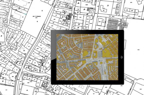
    georeferencing of cadastral maps and presenting on google earth engine through kml file, showing on a tab, laptop, mobile

    Land Records Management System Using GIS Technology

    29th September 2022
    Road pothole detection using AI technology

    AI-Based Pothole Detection for Enhanced Road Safety

    27th July 2023
    land and litigation management software

    Manage Land-related Legal Disputes Through the Legal & Court Case Management Module on LAMS

    12th September 2023

Back to site

RECENT POSTS

  • detecting unauthorized structures and encroachments on your land with lamsDetecting Unauthorized Structures and Encroachments on Your Land with LAMS
  • how ownership transfers over time inheritance sales leases and beyond How Ownership Transfers Over Time: Inheritance, Sales, Leases, and Beyond 
  • ensuring compliance when acquiring land & handling land litigation casesEnsuring Compliance When Acquiring Land & Handling Land Litigation Cases
  • a gis-based approach to road condition monitoring and pothole detection using aiA GIS-Based Approach to Road Condition Monitoring and Pothole Detection using AI

Categories

  • Artificial Intelligence
  • CSR
  • GIS
    • Disaster Management
  • Healthcare
  • Hoarding Management
  • LAMS
  • Land
  • Oil and Gas
  • Project Monitoring
  • RCMS
  • Remote Sensing
  • Retail
  • Salesforce
  • Telecom Utility
  • Uncategorised
    • Project Progress Monitoring System
  • Urban Development
  • Utility
  • Water Utility Solution
Copyright © 1997-2025 CyberSWIFT® Infotech Pvt. Ltd.
Ashe Theme by WP Royal.