-
Urban Development Property Survey & Mapping: Powering Smart Cities with Precision
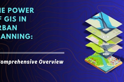
As cities continue to grow rapidly, efficient property administration and urban planning have become more crucial than ever. A property survey and mapping system acts as the foundation for sustainable urban development, facilitating everything from infrastructure planning to legal property ownership. By integrating cutting-edge technologies like Geographic Information Systems (GIS), Unmanned Aerial Vehicles (UAVs), and centralized digital property databases, municipalities and private developers can ensure accurate, transparent, and accessible property records. Let’s explore how this process works, why it’s essential, and how it’s shaping the future of smart cities. Why Property Survey & Mapping is Essential in Urban Development Inaccurate property boundaries, outdated property records, and unchecked encroachments have long hindered…


