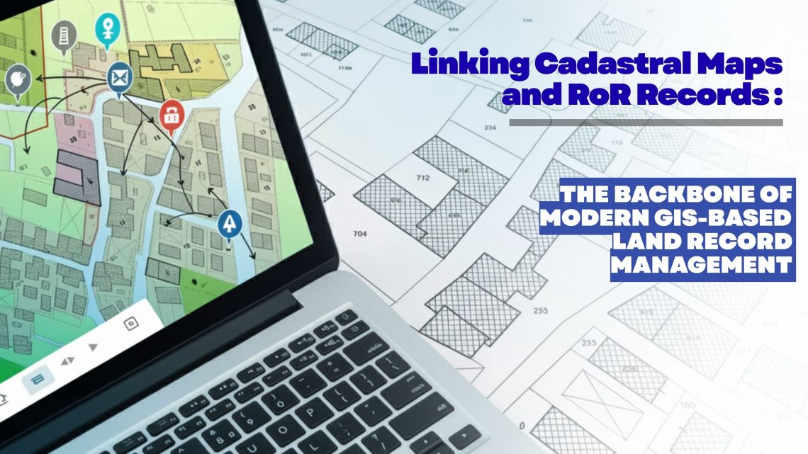
Linking Cadastral Maps and RoR Records: The Backbone of Modern GIS-Based Land Record Management
Accurate, transparent and easily accessible land information has become a strategic requirement for governments, utilities, infrastructure developers, renewable energy companies, mining corporations and real estate enterprises. As organizations expand, acquire new parcels, or manage large land banks, the ability to trust and validate land ownership data becomes essential. This is where the digital integration of Cadastral Maps and Record of Rights (RoR) emerges as a game changer—especially when executed through an advanced GIS-based land management platform like LAMS (Land Acquisition and Management System).
Why Linking Cadastral Maps and RoR Matters Today
Traditionally, cadastral maps and RoR records were maintained as separate datasets—one spatial, one textual—leading to inconsistencies, duplication, and errors during land acquisition, verification, compensation planning, or asset management. In fast-moving industries such as renewable energy, mining, manufacturing, and infrastructure development, these discrepancies can delay projects and increase costs.
By digitizing land records and creating a unified spatial–textual database, organizations get a single source of truth—a foundational component of any modern land management solution.
Key Challenges Without Integration:
- Fragmented, manual land verification
- Difficulty validating ownership or tenancy
- Boundary mismatch between maps and official records
- Slow and error-prone acquisition workflows
- Inaccurate compensation or negotiation data
The integration of cadastral maps and RoR eliminates these gaps and provides stakeholders with high-precision, structured, and actionable land intelligence.
How LAMS Enables Seamless Linking of Cadastral Maps with RoR Records
LAMS is designed to digitize, validate, unify and manage complex land datasets across large geographies. Built on powerful GIS architecture, LAMS provides organizations with deep visibility into land parcels—combining geospatial accuracy with authoritative ownership records.
1. Map Digitization & Geo-Referencing
LAMS starts by converting traditional paper-based or scanned cadastral maps into accurate, geo-referenced digital layers. These layers are aligned with standard coordinate systems, ensuring compatibility with government datasets, satellite imagery, drone surveys and GPS-based field data.
Benefits:
- High-resolution land parcel boundaries
- Elimination of map distortions
- Real-time geospatial visualization
2. RoR Extraction, Structuring & Validation
RoR data (including ownership, cultivator details, plot number, land class, area and transactional history) is digitized, validated and converted into machine-readable formats.
LAMS ensures:
- Removal of duplicates
- Correction of inconsistencies
- Standardization of textual data
This structured database becomes the authoritative reference for all subsequent analytics.
3. Automated Linking Through Unique Parcel IDs
LAMS uses Unique Parcel Identification logic to match spatial boundaries with textual RoR attributes. This ensures an exact one-to-one or one-to-many relationship between map plots and official records.
This is crucial for:
- Land acquisition planning
- Compensation mapping
- Title verification
- Risk assessment
4. Spatial Overlay and Ownership Intelligence
Once cadastral and RoR records are linked, LAMS provides advanced spatial analytics:
- Ownership layers
- Encroachment detection
- Land-use classification
- Plot history timelines
- Dispute and litigation overlays
Users can visually inspect land parcels, verify rights, compare historical records, and build confidence in acquisition decisions.
5. Field Validation Using Mobile GIS
Field teams equipped with the LAMS mobile app can cross-check cadastral boundaries on the ground using GPS, collect new data, attach images, upload geo-tagged documents, and validate RoR information directly.
This closed-loop verification process ensures ground truth accuracy.
6. Automated Reports, Alerts & Decision Dashboard
LAMS provides automated MIS reports and dashboards for project teams, legal departments and compliance authorities.
Insights include:
- Land ownership risk
- Pending mutations
- Priority acquisition zones
- Budget planning for compensation
These features make LAMS a complete land management solution for enterprises dealing with large-scale land operations.
How LAMS Land Management Software Transforms Land Management | Best Land Software Overview
Discover the power of LAMS, the ultimate land management software that serves as the foundation of any successful land portfolio. LAMS revolutionizes land management by transforming your assets into a digital twin, making all land-related data—from digitized maps and deeds to tax records and compliance details—easily accessible.
Business Benefits of Linking Cadastral Maps & RoR Through LAMS
✔ Reduced Legal and Financial Risk
Integrated data prevents land disputes, title errors, or incorrect compensation—saving organizations from costly litigation.
✔ Faster Land Acquisition & Project Approvals
Unified spatial–textual datasets help teams verify land parcels rapidly and prepare accurate acquisition documentation.
✔ Improved Transparency & Accountability
Every stakeholder—from management to field teams—views the same authoritative, GIS-based land asset management record.
✔ High Accuracy for Planning & Development
GIS-backed intelligence helps organizations choose the right land parcels for factories, power plants, substations, mining blocks, logistics hubs or renewable energy parks.
Why LAMS Is the Ideal Choice for Modern Land Record Management
LAMS has been deployed across multiple sectors for handling land acquisition, land mapping, asset management, compliance monitoring and land record digitization. The system goes beyond simple mapping—it creates a complete digital ecosystem for land governance.
LAMS Stands Out Because It Offers:
- GIS-driven accuracy
- End-to-end land acquisition workflows
- Integrated land document management
- RoR and cadastral linking engine
- Real-time dashboards
- Field data collection applications
- Automated reporting
- Highly scalable architecture
For enterprises and government bodies dealing with land at scale, LAMS acts as a future-ready land management platform, reducing effort, cost, risk and time.
Conclusion
The integration of Cadastral Maps and RoR records is no longer optional—it is the foundation of modern, transparent and efficient land governance. With increasing infrastructure development, renewable energy expansion and regulatory tightening, organizations must adopt advanced land management system software to manage their land assets with precision.
LAMS provides a robust, scalable and GIS-powered environment to connect spatial and textual land records, enabling organizations to make informed, data-driven decisions.

Darshana Mukherjee is a Senior Consultant in Business Development with over 11 years of experience in sales, primarily focused on the Geospatial IT industry. Her expertise lies in driving business growth through strategic partnerships, client engagement, and delivering solutions. She combines her technical knowledge with business acumen to contribute effectively to organizational success.
Darshana Mukherjee
Darshana Mukherjee is a Senior Consultant in Business Development with over 11 years of experience in sales, primarily focused on the Geospatial IT industry. Her expertise lies in driving business growth through strategic partnerships, client engagement, and delivering solutions. She combines her technical knowledge with business acumen to contribute effectively to organizational success.


You May Also Like

8 Common Misconceptions about Land Management
Streamline Clearance Tracking for Hassle-Free Land Management
