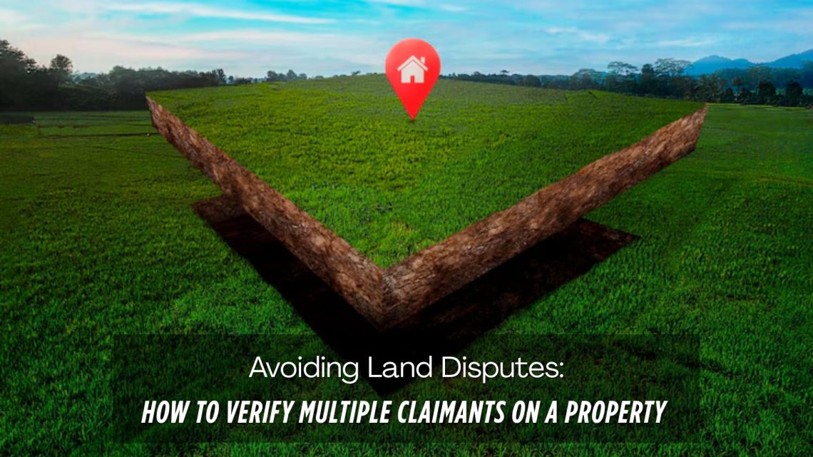
Avoiding Land Disputes: How to Verify Multiple Claimants on a Property
Land disputes are among the most common and complex legal issues globally, especially in countries with fragmented land records and inadequate land management systems. One of the key reasons behind these disputes is multiple claimants asserting ownership over the same piece of land. Whether it’s due to historical inheritance, undocumented transactions, or fraudulent claims, such scenarios can lead to prolonged litigation, stalled infrastructure projects, and massive financial losses.
In this blog, we explore practical strategies to verify multiple claimants on a property, prevent potential disputes, and highlight how digital solutions like CyberSWIFT LAMS (Land Acquisition Management System) can help streamline the verification and dispute avoidance process.
Why Do Multiple Claims on a Property Occur?
Understanding the root causes is essential for preventing land disputes. Here are the most common reasons for multiple claimants:
- Inheritance without proper documentation: Heirs may claim ownership without formal succession certificates or updated land records.
- Fraudulent sales and forged documents: Unscrupulous individuals may sell land they don’t own, leading to overlapping claims.
- Unclear or missing boundaries: Inadequate surveying and boundary demarcation result in overlapping claims from neighbors or relatives.
- Outdated or inconsistent land records: Manual records that haven’t been digitized or updated often create confusion regarding ownership.
Key Steps to Verify Multiple Claimants on a Property
1. Conduct a Thorough Title Search
Start by examining the chain of title – the documented history of ownership over time. Look for:
- Sale deeds
- Gift deeds
- Will and probate documents
- Court decrees (if any)
- Mutation records
This helps determine whether each transfer of ownership was lawful.
2. Cross-Verify Land Records with Local Authorities
Approach the Revenue Department, Sub-Registrar’s Office, and Land Records Department to:
- Validate ownership documents
- Check for encumbrances (like mortgages or disputes)
- Confirm mutation and survey records
Tip: Always compare multiple sources—if the revenue records show a different owner than the registrar’s office, further investigation is needed.
3. Survey and Demarcate the Land
A proper geo-referenced survey using modern tools like DGPS, drone mapping, and GIS technologies can help define:
- Exact boundaries
- Actual area
- Encroachments, if any
This is particularly helpful when multiple parties are claiming portions of the same land.
4. Issue a Public Notice
Before finalizing any transaction or acquisition, issue a public notice in local newspapers inviting objections or claims. This helps bring any hidden claimants forward.
5. Collect Affidavits and No-Objection Certificates (NOCs)
Obtain legal affidavits and NOCs from all known stakeholders or family members. This step helps avoid post-transaction disputes from relatives or co-owners.
6. Legal Due Diligence and Verification from Local Bodies
- Engage legal experts to perform due diligence and:
- Review legal judgments or pending litigations
- Verify village records (Khasra, Khatauni, Jamabandi)
- Check with Gram Panchayats or municipal authorities
How CyberSWIFT LAMS Helps Avoid Land Disputes
CyberSWIFT’s Land Acquisition Management System (LAMS) is a GIS-based digital platform that plays a critical role in land verification and management, especially when dealing with multiple claimants. Here’s how it adds value:
✅ 1. GIS-Based Claimant Mapping
The software maps multiple claimants against a single land parcel using GIS visualization tools, allowing officials to visualize overlapping claims and disputed zones clearly.
✅ 2. Automated Survey and Land Demarcation
CyberSWIFT LAMS integrates with drone surveys and DGPS data to provide accurate boundary mapping, reducing conflicts due to unclear demarcations.
✅ 3. Dispute Flagging and Workflow Management
Any land parcel with multiple claimants or disputed entries is flagged by the system. A built-in workflow engine ensures these cases are escalated to legal or verification teams for resolution.
✅ 4. Stakeholder Management and Documentation
The platform maintains a repository of all claimants, their documents, consent letters, affidavits, and legal history – ensuring complete transparency in the acquisition process.
✅ 5. Historical Data Tracking
LAMS helps trace the ownership history of a parcel, giving visibility into past transactions and eliminating fraudulent or duplicate claims.
Real-World Use Case: How LAMS Simplified Land Acquisition
Example: A State Infrastructure Project
In one of the infrastructure development projects in Eastern India, multiple individuals claimed ownership of a key parcel of land. By using LAMS, the agency was able to:
- Identify claimants and validate records digitally
- Use drone and GIS surveys to map exact plots
- Issue notices and collect NOCs via the platform
- Resolve conflicts without court involvement
This saved the agency months of delay and significant legal expenses.
Final Thoughts
Verifying multiple claimants on a property is no longer just a legal task—it’s a technology-driven process. With the help of digital tools like LAMS, organizations can achieve faster, more reliable land acquisition and reduce the risks of litigation and disputes.
Whether you’re a government agency, infrastructure developer, or legal consultant, adopting a modern land management system is no longer optional—it’s essential.

Darshana Mukherjee is a Senior Consultant in Business Development with over 11 years of experience in sales, primarily focused on the Geospatial IT industry. Her expertise lies in driving business growth through strategic partnerships, client engagement, and delivering solutions. She combines her technical knowledge with business acumen to contribute effectively to organizational success.
Darshana Mukherjee
Darshana Mukherjee is a Senior Consultant in Business Development with over 11 years of experience in sales, primarily focused on the Geospatial IT industry. Her expertise lies in driving business growth through strategic partnerships, client engagement, and delivering solutions. She combines her technical knowledge with business acumen to contribute effectively to organizational success.


You May Also Like

Revolutionizing Land Management with Land Information Management Systems

How Ownership Transfers Over Time: Inheritance, Sales, Leases, and Beyond