CyberSWIFT

Solutions With Innovative Future Technology

CyberSWIFT
  • Artificial Intelligence

    Five ways in which Artificial Intelligence is useful for small and medium size companies

    25th February 2020 / 1 Comment

    Is Artificial Intelligence (AI) viable for small and medium sized businesses? The answer is, absolutely yes! For many non-technical business people however, understanding Artificial Intelligence may seem like a huge challenge. Artificial Intelligence has often been shown in science fiction movies and portrayed on television as being a powerful technological force that often seems to have a mind of it’s own. App like Facetime is using AI to help users to provide best video calling results. It is often portrayed as being incredibly complex, running on impossibly massive and expensive super computers, and causing great concerns at the hands of powerful and evil villains. It’s easy to take a cue…

    read more
    Emmett Kaericher

    You May Also Like

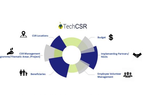
    corporate social responsibility software by techcsr

    Geo-Targeting Goodness: The Synergy Between GIS and Corporate Social Responsibility

    14th August 2024
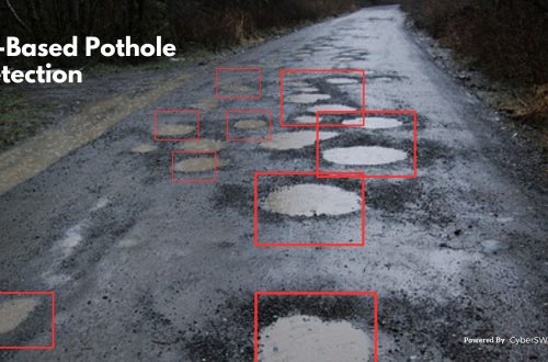
    Road pothole detection using AI technology

    AI-Based Pothole Detection for Enhanced Road Safety

    27th July 2023
    AI and GIS-Driven Compensatory Land Allocation System

    Advantages of AI and GIS-Driven Compensatory Land Allocation System

    12th September 2023
  • Land Acquisition management
    LAMS

    Land Acquisition & Management Systems (LAMS) Explained

    25th February 2020 / 0 Comments

    Property of all types has always been a valuable asset. Land, in particular, has been one of the most historic of all investment types, going back to the earliest times in recorded history. Many kinds of companies today are involved in land ownership, acquisition, sales, and leasing of land or properties, and for some, they manage many properties at a time. This can produce tremendous amounts of paperwork, documents, drawings, pictures, maps, and these days even videos of properties a company is considering leasing or purchasing, selling, and so on. This is where the need for a comprehensive land acquisition management system comes into play. A dedicated software platform designed…

    read more
    Emmett Kaericher

    You May Also Like

    the evolving landscape of land management harnessing technology for sustainable growth

    The Evolving Landscape of Land Management: Harnessing Technology for Sustainable Growth

    2nd September 2024
    the importance of effective land lease management

    The Importance of Effective Land Lease Management

    21st January 2025
    empowering renewable energy projects with land management and land acquisition management software

    Empowering Renewable Energy Projects with Land Management and Land Acquisition Management Software

    28th November 2024
  • GIS,  Healthcare

    Five Benefits of GIS for Healthcare Providers

    6th December 2019 / 0 Comments

    Are you using the power of geoinformation in your medical practice or healthcare services business? Geography matters, especially in the modern hyper-connected world where the rise of consumer information sharing can make or break a service practitioner’s reputation in a market. Meanwhile patients increasingly expect convenience, value and efficiency when using their time. They are savvier than ever before about shopping and competition for their attention and shopping dollars is fierce.  Don’t worry, we have a prescription that can help, it’s called GIS! Geographical Information Systems (GIS) and location intelligence data software can produce highly visual, highly useful data driven maps of a region, city, neighborhood, market or even inside…

    read more
    Emmett Kaericher

    You May Also Like

    land litigation software

    Discover The Importance of Land Software in Land-Related Litigation Cases

    23rd June 2023
    Case Study of Samiksha - an ambitious e-Governance initiative of PWD West Bengal

    Case Study of Samiksha – an ambitious e-Governance initiative of PWD West Bengal

    21st October 2021

    Top 10 Benefits of a GIS-Based Project Monitoring System

    27th January 2023
  • GIS,  Retail

    Five Critical Benefits of Location Intelligence for Retailers

    15th November 2019 / 10 Comments

    Are you using the power of geoinformation in your business? Geography matters, especially in the modern hyper-connected world where the rise of ecommerce means physical stores must not only offer desirable products of value for a fair price, but must also provide high levels of customer service, and somehow continuously be crafting a bigger and better in-store experience for their customers than their competitors. Meanwhile customers increasingly expect convenience, value and efficiency when using their time to visit physical stores instead of shopping online. They are savvier than ever before about shopping and competition for their attention and shopping dollars is fierce.  Good news! There is a tool set you…

    read more
    Emmett Kaericher

    You May Also Like

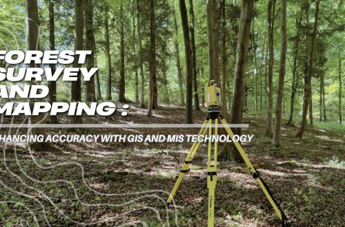
    forest survey and mapping enhancing accuracy with gis and mis technology

    Forest Survey and Mapping: Enhancing Accuracy with GIS and MIS Technology

    12th March 2025
    GIS-based Project Monitoring System Help in Road Construction Management

    How Does a GIS-based Project Monitoring System Help in Road Construction Management?

    7th August 2023
    Road pothole detection using AI technology

    AI-Based Pothole Detection for Enhanced Road Safety

    27th July 2023

Back to site

RECENT POSTS

  • using satellite imagery & survey data to confirm land locations how lams ensures accuracy and transparencyUsing Satellite Imagery & Survey Data to Confirm Land Locations: How LAMS Ensures Accuracy and Transparency
  • urban development property survey mapping powering smart cities with precisionUrban Development Property Survey & Mapping: Powering Smart Cities with Precision
  • how to crosscheck land boundaries with government recordsHow to Cross-Check Land Boundaries with Government Records
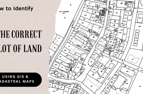
  • how to identify the correct plot of land using gis and cadastral mapsHow to Identify the Correct Plot of Land Using GIS & Cadastral Maps

Categories

  • Artificial Intelligence
  • CSR
  • GIS
    • Disaster Management
  • Healthcare
  • Hoarding Management
  • LAMS
  • Land
  • Oil and Gas
  • Project Monitoring
  • RCMS
  • Remote Sensing
  • Retail
  • Salesforce
  • Telecom Utility
  • Uncategorised
    • Project Progress Monitoring System
  • Urban Development
  • Utility
  • Water Utility Solution
Copyright © 1997-2025 CyberSWIFT® Infotech Pvt. Ltd.
Ashe Theme by WP Royal.