-
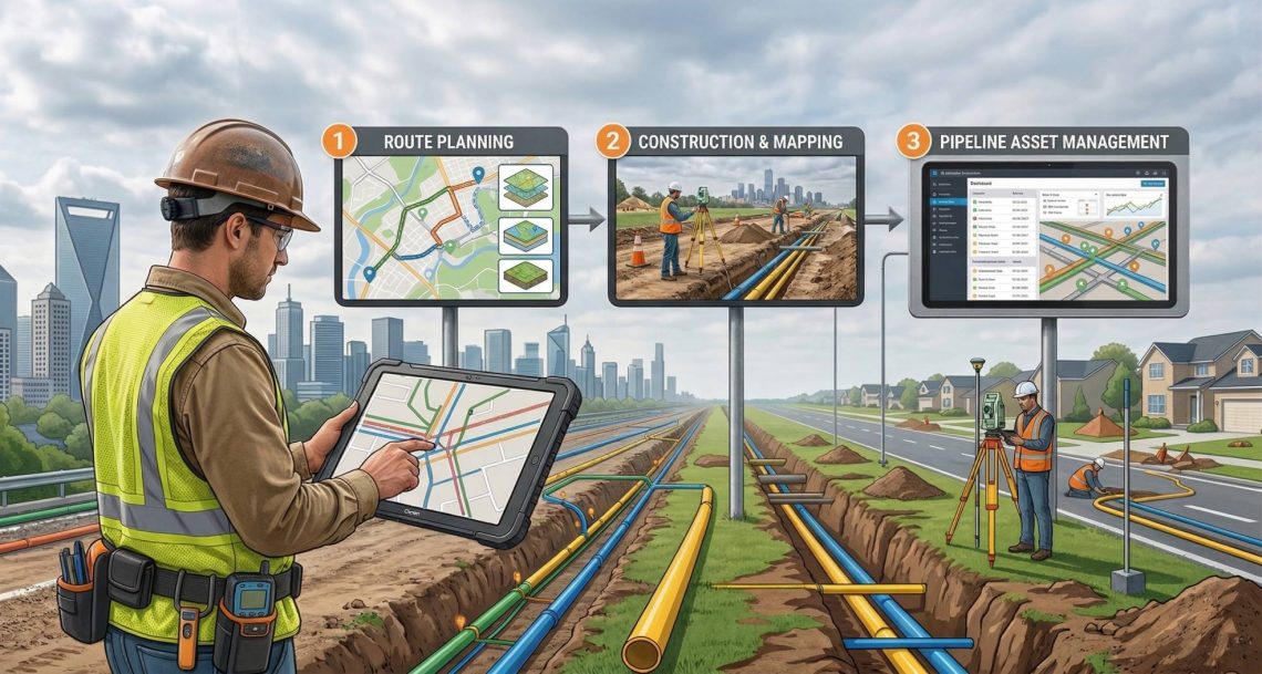
Transforming CGD Infrastructure with GIS Survey & Mapping: From Route Planning to Pipeline Asset Management
In the rapidly expanding City Gas Distribution (CGD) sector, precision planning and reliable asset data are no longer optional—they are critical for safety, regulatory compliance, and operational efficiency. Our specialized GIS Survey and Mapping services deliver end-to-end solutions tailored for CGD projects across India. From corridor mapping of pipeline routes to drone-based leakage detection and GIS- powered asset management systems, we help CGD companies build smarter, safer, and more sustainable gas networks. Why GIS is Needed in CGD City Gas Distribution involves laying thousands of kilometers of underground pipelines through congested urban and semi-urban areas while ensuring zero safety incidents and full regulatory compliance. As The CGD sector involves multiple layers of complexity—from pipeline…
-
Enabling Seamless Rural Connectivity: End-to-End Support Services for BharatNet Phase 3
The ambitious rollout of BharatNet Phase 3 marks a transformative step toward strengthening India’s rural digital backbone. With a renewed focus on high-speed, reliable broadband connectivity across Gram Panchayats, this phase demands precision-driven execution, stringent quality standards, and complete lifecycle documentation. To ensure successful implementation, a comprehensive suite of GIS services plays a critical role — from route planning surveys to HOTO documentation and identification of damage section of existing network through advanced fiber testing. Below is an overview of the key GIS services essential for BharatNet Phase 3 deployment. 1. GIS Route Survey & Network Planning: Accurate route planning forms the foundation of a robust fiber network. Scope of Services:…
You May Also Like

GIS-Based Solutions for Efficient Telecom Network Management