CyberSWIFT

Solutions With Innovative Future Technology

CyberSWIFT
  • AI and GIS-Driven Compensatory Land Allocation System
    Artificial Intelligence,  GIS,  LAMS,  Land

    Advantages of AI and GIS-Driven Compensatory Land Allocation System

    12th September 2023 / 0 Comments

    The allocation of land resources plays a pivotal role in shaping societies and economies. In recent years, the integration of Artificial Intelligence (AI) and Geographic Information Systems (GIS) into land allocation software has ushered in a new era of efficiency and precision. This blog delves into the advantages of AI and GIS-driven compensatory land allocation software, highlighting how it streamlines the land allocation process, enhances decision-making, and promotes sustainable land management. Enhanced Decision-Making: AI and GIS-driven land allocation software empowers decision-makers with robust analytical tools. By processing vast datasets and applying advanced algorithms, land software can provide invaluable insights into land characteristics, topography, soil quality, and environmental factors. These insights…

    read more
    Dip Mitra

    You May Also Like

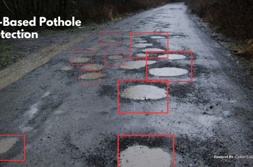
    Road pothole detection using AI technology

    AI-Based Pothole Detection for Enhanced Road Safety

    27th July 2023

    Five ways in which Artificial Intelligence is useful for small and medium size companies

    25th February 2020
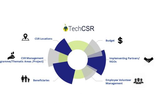
    corporate social responsibility software by techcsr

    Geo-Targeting Goodness: The Synergy Between GIS and Corporate Social Responsibility

    14th August 2024
  • agriculture land with map pin to define the land area
    GIS,  LAMS,  Land

    Revolutionizing Land Management with Land Information Management Systems

    30th March 2023 / 1 Comment

    Land is an essential resource that is finite in nature, and its management is crucial for ensuring its sustainable use. The traditional methods of land management are often plagued by inefficiencies, corruption, and a lack of transparency, which can result in land disputes and mismanagement. Land Information Management Systems (LIMS) have the potential to revolutionize land management by bringing transparency, efficiency, and equity to the system. What is Land Information Management System (LIMS)? A Land Information Management System (LIMS) is a GIS-based digital platform used to manage land-related data, such as ownership, use, value, and location. It is an integrated system that enables the efficient collection, storage, retrieval, analysis, and…

    read more
    Dip Mitra

    You May Also Like

    Top 10 Benefits of a GIS-Based Project Monitoring System

    27th January 2023
    land litigation software

    Discover The Importance of Land Software in Land-Related Litigation Cases

    23rd June 2023
    land and litigation management software

    Manage Land-related Legal Disputes Through the Legal & Court Case Management Module on LAMS

    12th September 2023

Back to site

RECENT POSTS

  • using satellite imagery & survey data to confirm land locations how lams ensures accuracy and transparencyUsing Satellite Imagery & Survey Data to Confirm Land Locations: How LAMS Ensures Accuracy and Transparency
  • urban development property survey mapping powering smart cities with precisionUrban Development Property Survey & Mapping: Powering Smart Cities with Precision
  • how to crosscheck land boundaries with government recordsHow to Cross-Check Land Boundaries with Government Records
  • how to identify the correct plot of land using gis and cadastral mapsHow to Identify the Correct Plot of Land Using GIS & Cadastral Maps

Categories

  • Artificial Intelligence
  • CSR
  • GIS
    • Disaster Management
  • Healthcare
  • Hoarding Management
  • LAMS
  • Land
  • Oil and Gas
  • Project Monitoring
  • RCMS
  • Remote Sensing
  • Retail
  • Salesforce
  • Telecom Utility
  • Uncategorised
    • Project Progress Monitoring System
  • Urban Development
  • Utility
  • Water Utility Solution
Copyright © 1997-2025 CyberSWIFT® Infotech Pvt. Ltd.
Ashe Theme by WP Royal.