-
Revolutionizing Land Management with Land Information Management Systems
Land is an essential resource that is finite in nature, and its management is crucial for ensuring its sustainable use. The traditional methods of land management are often plagued by inefficiencies, corruption, and a lack of transparency, which can result in land disputes and mismanagement. Land Information Management Systems (LIMS) have the potential to revolutionize land management by bringing transparency, efficiency, and equity to the system. What is Land Information Management System (LIMS)? A Land Information Management System (LIMS) is a GIS-based digital platform used to manage land-related data, such as ownership, use, value, and location. It is an integrated system that enables the efficient collection, storage, retrieval, analysis, and…
-
Top 10 Benefits of a GIS-Based Project Monitoring System
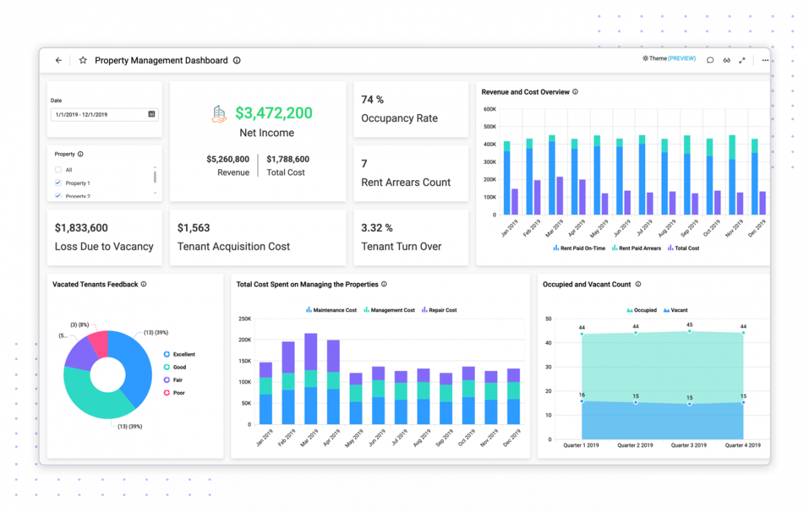
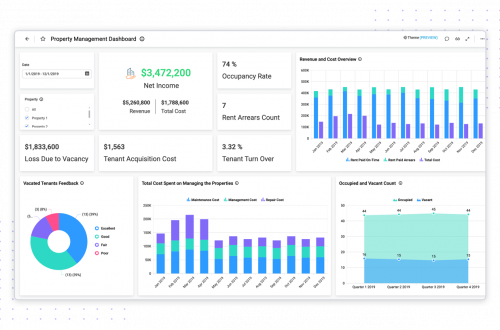
What is a Project Monitoring System? A GIS-based project monitoring system uses geographic information systems (GIS) technology to track and manage the progress of a project. This type of system allows users to view and analyze project data in a geographic context, such as mapping project locations and displaying information about project milestones and timelines. It also allows users to share the data with other stakeholders in a project, such as project managers, engineers, and government officials. This system can be used for a wide range of projects, including infrastructure development, natural resource management, and urban planning. Benefits of Using a Project Monitoring System: 1. Spatial Visualization: GIS-based project monitoring systems allow…
-
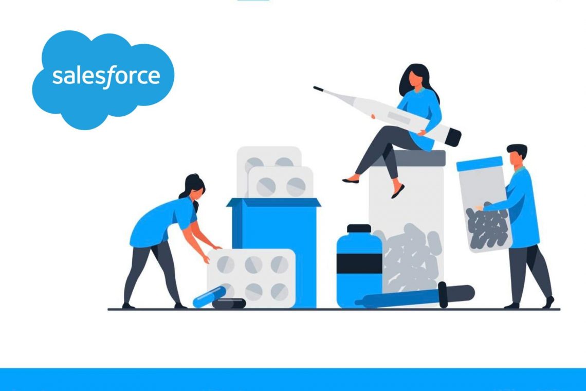
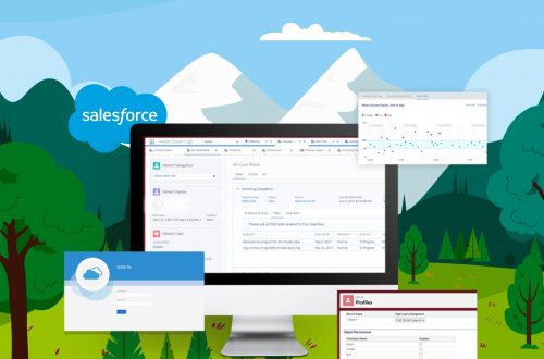
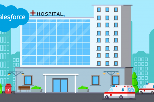
How can Salesforce help to Digitalize Pharmaceutical Production?
The pharmaceutical sector has been growing since the pandemic and businesses are now vying with one another for market dominance. In order to be ready for the future, pharmaceutical production must be digitalized using Salesforce. A pharmaceutical corporation has a number of responsibilities, including managing the supply chain, production, marketing, and patient care. Having accurate data is the key to everything. Salesforce for the pharmaceutical sector enables teams to access all pertinent care management and drug trial data that may help improve production while guaranteeing supply continuity. Salesforce: Digitalize Pharmaceutical Production Salesforce strives to bring together pharmaceutical companies, clients, and partners in a single viewpoint to produce actionable insights that…
-
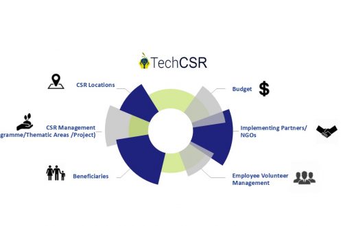
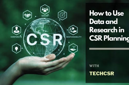
How Can A CSR Software Help Corporate in Education CSR? – TechCSR
Education is one of the major sectors where many corporates are executing their CSR Programs. Since education is the backbone of our society funding the same is extremely essential to build a strong tomorrow. There are millions of children across the country who do not receive proper education due to a lack of basic education infrastructure. A huge chunk of students who enroll themselves in Government run schools does not complete their education due to a lack of infrastructure. They might have a primary school in their village but might need to travel 2 hours for receiving higher education in a different village which they cannot do due to financial…
-
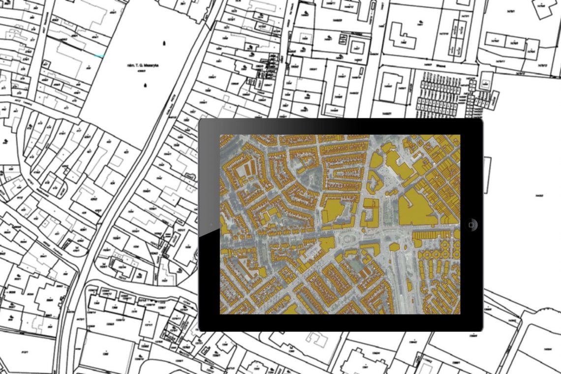
Land Records Management System Using GIS Technology
Introduction: In India, land ownership is primarily established through a registered sale deed (a record of the property transaction between the buyer and seller). Other documents used to establish ownership include the record of rights (document with details of the property), property tax receipts, and survey documents. Land records consist of various types of information (property maps, sale deeds) and are maintained across different departments at the district or village level. These departments work in silos, and the data across departments is not updated properly. Hence, discrepancies are often noted in land records. The district administration keeps land records to determine who owns and where the borders of a piece…
-
How GIS and Remote Sensing Are Playing the Most Critical Role in Disaster Management?
India has been ranked the 14th most disaster-prone country in the world due to extreme weather-related disasters. Also, disasters are spatial in nature as they strike at a particular location and impact a specific region. GIS & remote sensing are inevitable parts of the disaster monitoring life-cycle. The preparedness stage of the pre-disaster situation is followed by during & post-disaster which is attributed to response & recovery & rehabilitation efforts. GIS provides accurate spatial data and insights into disaster response strategies and enables the visualization of critical vulnerabilities and damages. Subsequently, location intelligence plays a critical part in disaster monitoring. GIS combined with remote sensing gives an essential structure, helps in…
-
Case Study of Samiksha – an ambitious e-Governance initiative of PWD West Bengal
‘SAMIKSHA’ Project Progress Monitoring System is an ambitious e-Governance initiative of PWD West Bengal where a web and mobile-based software application was built to monitor the progress of various construction & maintenance projects for Roads, Bridges, and Buildings throughout the state. The initial application was implemented in June 2016 which helped 5000+ users of the department with consistent project monitoring and successful completion of more than 6000+ projects in the past 3 years.For transforming the monitoring and management system of the Public Works Department, ‘Samiksha’ PPMS succeeded in bringing about digitally enabled, real-time and interactive modes of tracking projects. This led to a sea change in the performance of the…
CyberSWIFT
Solutions With Innovative Future Technology