Top 10 Benefits of a GIS-Based Project Monitoring System
What is a Project Monitoring System?
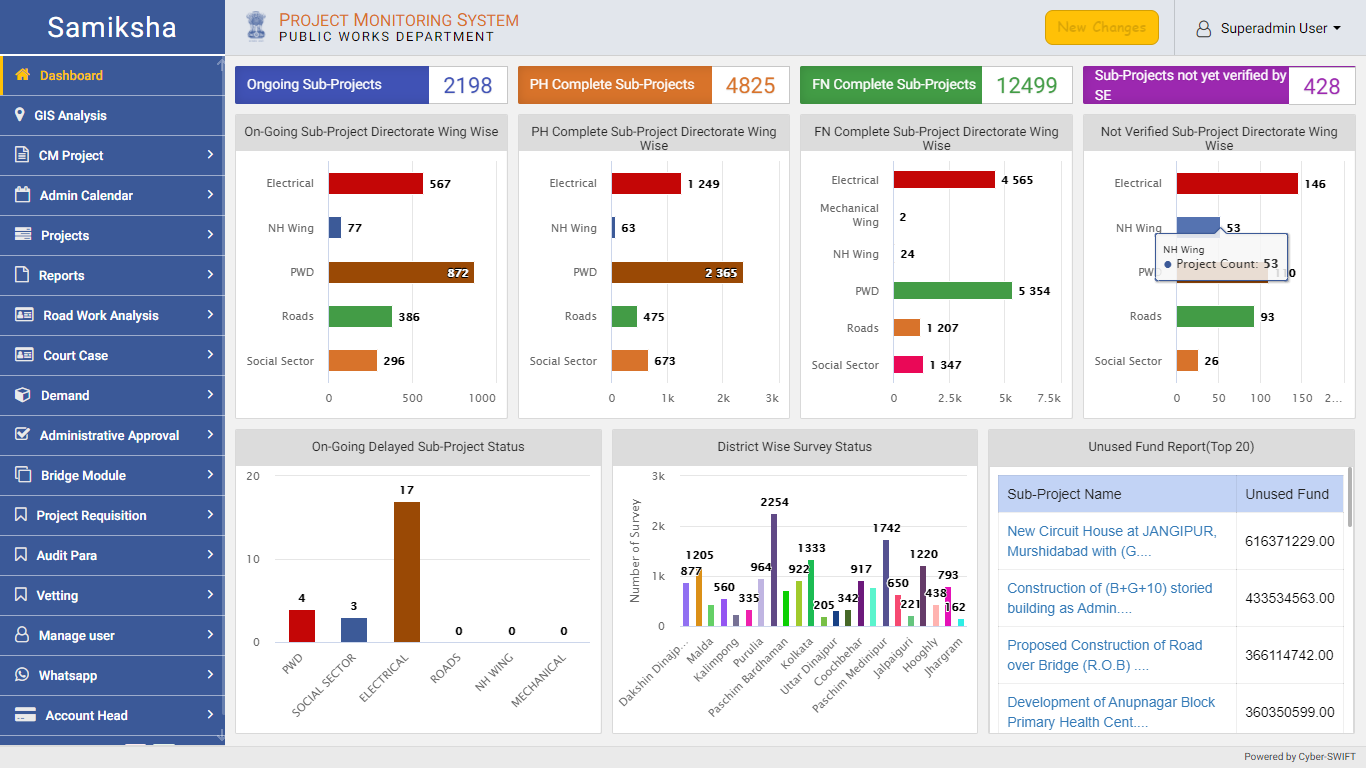
A GIS-based project monitoring system uses geographic information systems (GIS) technology to track and manage the progress of a project. This type of system allows users to view and analyze project data in a geographic context, such as mapping project locations and displaying information about project milestones and timelines. It also allows users to share the data with other stakeholders in a project, such as project managers, engineers, and government officials. This system can be used for a wide range of projects, including infrastructure development, natural resource management, and urban planning.
Benefits of Using a Project Monitoring System:
1. Spatial Visualization: GIS-based project monitoring systems allow users to view and analyze project data in a geographic context, which can provide a deeper understanding of project progress and potential issues.
2. Data Integration: It can integrate with other data sources, such as satellite imagery and demographic data, to provide a more comprehensive view of a project.
3. Real-time Monitoring: Most importantly, can provide real-time data on project progress, allowing managers to respond to any issues that arise quickly.
4. Predictive Modeling: GIS-based project monitoring systems can use spatial analysis and modeling to predict potential issues or identify areas of high risk.

5. Better coordination: Our systems can help project managers coordinate work across multiple teams and locations.
6. Effective Communication: PPMS can help project managers communicate project progress and potential issues to stakeholders in a clear, visual way.
7. Reduced Compliance: Project Progress Monitoring Systems can help project managers ensure compliance with regulations and standards by providing detailed information on project progress and potential issues.
8. Better Resource Management: IT-based project monitoring systems can help project managers optimize the use of resources, such as equipment and personnel, by providing real-time data on project progress.
9. Better Resource Allocation: GIS-based project monitoring systems can help project managers allocate resources more efficiently by providing detailed information on project progress and potential issues.
10. Improved Decision-making: Our PPMS can help project managers make better-informed decisions by providing detailed information on project progress and potential issues.

Currently heading the Business Development at CyberSWIFT, Dip is a Creative, Collaborative, Solution-Oriented Technologist, who is passionate about providing a Win/ Win situation to both Client and Company. With 10+ years of experience in the IT & Geospatial Industry, he has been in different shoes at different times viz. Strategic Business Development, Direct Sales, Project Management, Solution Architect, etc.


