-
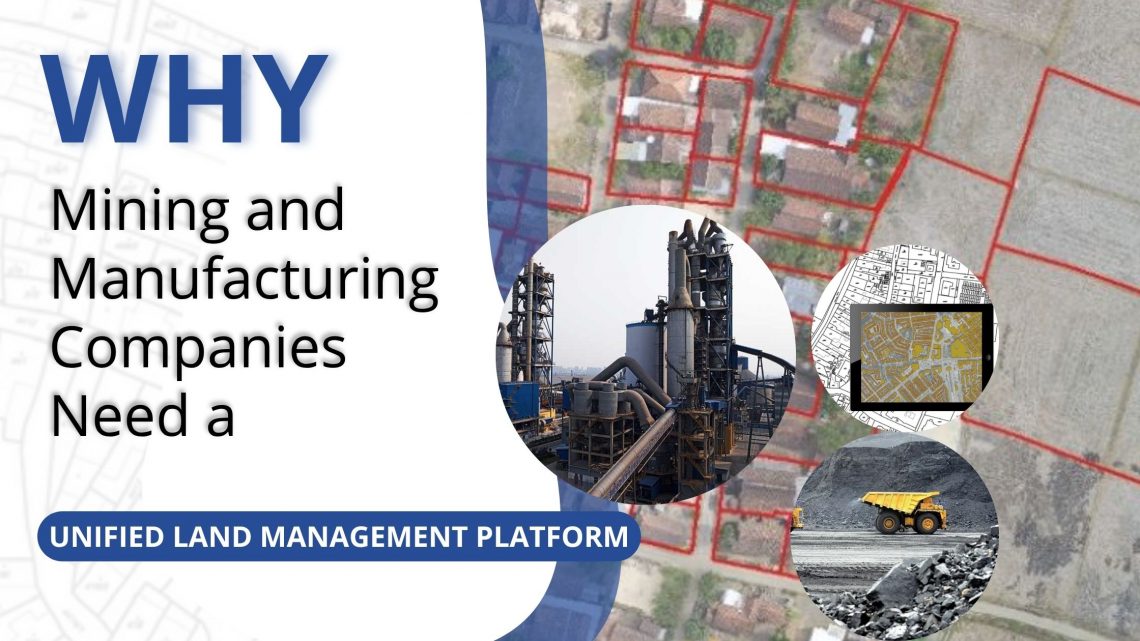
Why Mining and Manufacturing Companies Need a Unified Land Management Platform
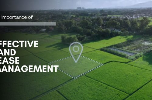
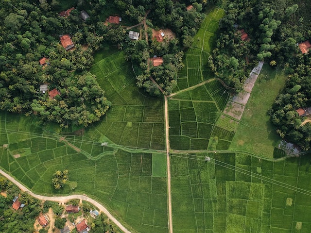
In the mining and manufacturing sectors, land is not just a resource—it’s a strategic foundation. From mineral exploration to industrial expansion, every project starts with identifying, acquiring, and managing vast stretches of land. Yet, land administration remains one of the most complex, time-consuming, and risk-prone parts of project development. Fragmented records, manual processes, and disconnected systems often lead to delays, disputes, and compliance issues. To overcome these challenges, leading organizations are adopting all-in-one digital Land Management Platforms like LAMS — a GIS-enabled, cloud-based solution purpose-built for managing large, distributed land assets efficiently. 1. Managing Complex Land Portfolios Mining and manufacturing operations typically span multiple leases, permits, and zones, often across different…
-
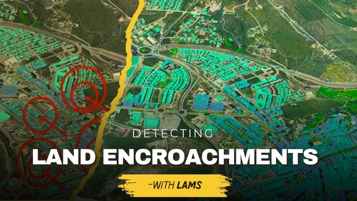
Detecting Unauthorized Structures and Encroachments on Your Land with LAMS
Land is one of the most valuable assets for individuals, businesses, and government bodies. However, protecting it from unauthorized structures, encroachments, and illegal occupation continues to be a major challenge. Traditional monitoring methods often fail to provide real-time, accurate insights—leading to disputes, financial losses, and even legal complications. This is where land acquisition and management system (LAMS) plays a crucial role. By integrating GIS-based land management solutions with advanced digital tools, LAMS empowers landowners and organizations to identify, monitor, and prevent encroachments effectively. Why Detecting Unauthorized Structures & Encroachments Is Important Prevents Financial Losses – Encroachments reduce the usable value of your land, affecting long-term revenue and development potential. Reduces Legal Disputes – Unauthorized construction often…
-
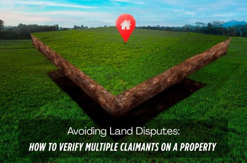
Manage Land-related Legal Disputes Through the Legal & Court Case Management Module on LAMS
In the realm of legal proceedings, the complexity of land-related litigation demands efficient and organized management. As the legal landscape evolves, so do the tools available to legal professionals. Enter the realm of legal and court case management modules, which have emerged as indispensable assets for streamlining land-related litigation processes. This blog delves into the transformative impact of these applications on land-related litigation and explores their key features, benefits, and future potential. The Complexity of Land-Related Litigation: Our land software (LAMS) has a court case module that encompasses a diverse array of cases, ranging from property disputes to zoning issues and environmental concerns. The multifaceted nature of these cases necessitates…
-
Things to Consider Before Buying a Land Management Platform:
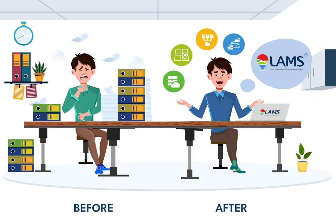
The term “Land Asset Management System” (LAMS) refers to a software or information management system designed to streamline and manage the process of land acquisition. It is commonly used by government agencies, real estate developers, and infrastructure projects that involve acquiring land for various purposes, such as infrastructure development, urban planning, or conservation efforts. LAMS typically provides a centralized platform to track and manage the entire land acquisition lifecycle, including tasks such as land identification, negotiation, legal processes, compensation, and record keeping. Key features of a Land Acquisition Management System may include: Land Inventory: Maintaining a comprehensive inventory of available land parcels, including ownership details, boundaries, and other relevant information.…
-
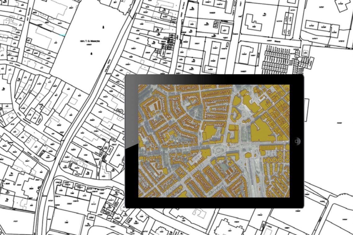
Land Records Management System Using GIS Technology
Introduction: In India, land ownership is primarily established through a registered sale deed (a record of the property transaction between the buyer and seller). Other documents used to establish ownership include the record of rights (document with details of the property), property tax receipts, and survey documents. Land records consist of various types of information (property maps, sale deeds) and are maintained across different departments at the district or village level. These departments work in silos, and the data across departments is not updated properly. Hence, discrepancies are often noted in land records. The district administration keeps land records to determine who owns and where the borders of a piece…
-
8 Common Misconceptions about Land Management
If you’re a working professional in the land domain, you know the time and effort it takes to manage the information. Many are inclined to opt for automated tools to manage but get discouraged considering common myths believed in the industry. Check below to see if your judgment has been clouded by any of the following: 1. High Cost It is a common misconception that managing properties requires a lot of expenses. That is not the case. Currently, there are many players in the market providing high-end tools and services in exchange of a rather small fee. The cost of these services will save you a lot of additional expenses…
-
Land Acquisition Process Made Easy – What Do You Need to Know?
The old Land Acquisition Act, 1894 was revised to Land Acquisition, Rehabilitation and Resettlement Bill in 2011. The bill was aimed to usher in more transparency in land acquisition procedures and provide fair compensation, and rehabilitation to the project-affected people. It mandated for organizations to rearrange benefits like land for employment, land and housing but one-time cash payments to people whose land was acquired. 1. The entire process of land acquisition starts off with land title verification. The owner of the property and therefore the area is verified by tallying the survey number of the land. In States, where digitized land records are available the method, becomes easier. A central portal can store plot-wise ownership data captured from Records of Right…
-
Land Acquisition & Management Systems (LAMS) Explained
Property of all types has always been a valuable asset. Land, in particular, has been one of the most historic of all investment types, going back to the earliest times in recorded history. Many kinds of companies today are involved in land ownership, acquisition, sales, and leasing of land or properties, and for some, they manage many properties at a time. This can produce tremendous amounts of paperwork, documents, drawings, pictures, maps, and these days even videos of properties a company is considering leasing or purchasing, selling, and so on. This is where the need for a comprehensive land acquisition management system comes into play. A dedicated software platform designed…
CyberSWIFT
Solutions With Innovative Future Technology