Plantation Monitoring Solution

CyberSWIFT is capable of providing tracking solutions in plantation monitoring by using applications and GIS and Remote Sensing technologies. High resolution multispectral satellite images and cloud processing technologies helps in plantation monitoring and made the intricate activity effortless.
Monitoring the plantation helps in regulating the health, harvesting and felling progress and growth status of plantation. Many thousands of square kilometers of plantation covered regions will become easily accessible and controlling them using technology based solution is a cost-effective method. Illegal felling of trees by lumberers can be tracked and controlled using real-time monitoring solution.

Benefits

construction excavator Icon

Real-time Analytics

oil gas electricity utilities icon

Reduced Operational Costs

Forestry Icon

Resource Management

Public Services Icon

Digital Mapping

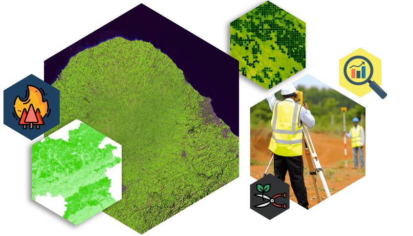
plantation & forestry monitoring solution, dgps survey, with ndvi, pvi index

Work Procedure

  • Acquiring high resolution satellite images from various portals like NRSC, Bhuvan, USGS, etc also depending on clients requirement, the specificity of the requirement of the clients will be considered and given preference.
  • Identification of boundary of plantation regions through the survey of boundary corner points and turning points using DGPS instruments
  • Classification of plantation region based on satellite images, zoning the various categories or types of plantation and it can also be classified on the basis of health and growth status using eCognition, Erdas, ArcGIS, etc.
  • Geosptial analysis like Normalized Difference Vegetation Index (NDVI), Perpendicular Vegetation Index (PVI) and various other vegetation indices with proper change detection can be used for monitoring the changes. This process will help in providing a fair idea of whether the plantation is ongoing or not. It is specifically useful for the plots which are difficult to visit and access.
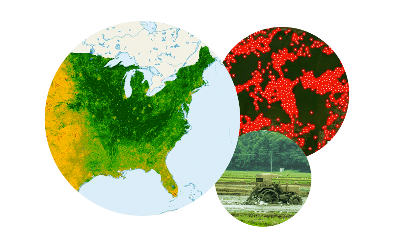
plantation forest fire and agriculture land map analysis

Final Deliverables

  • Classified plantation regions map with proper demarcated boundaries and accuracy check.
  • Seasonal/Weekly NDVI analysis for tracking individual health and growth of plantation and marking plots of harvesting and felling of plantation
  • Forest fires can be analysed and mapped

Contact Us

Let’s Have a Conversation

We would love to learn about your business challenges and goals, and share insights about how we can possibly help you using Plantation Monitoring Solution. We would also be happy to show you some of the ways we’ve helped customers to get where they wanted to go.