Development of GIS Based Digital Database of Power Network

ABOUT THE PROJECT

The West Bengal State Electricity Board (now dissolved and split into West Bengal State Electricity Distribution Company Limited and West Bengal State Electricity Transmission Company Limited) launched a project to reduce the Aggregate Technical and Commercial (AT&C) losses to achieve optimal utilization of the power network in certain areas of West Bengal.

Objectives of the Project

The primary objectives of the project included:

  • Regular energy audit to identify the AT&C losses in the power network and reducing it to 20% of the existing loss.
  • Map-based load management, planning and forecasting.

CyberSWIFT took up this project and executed it successfully.
basemap preparation

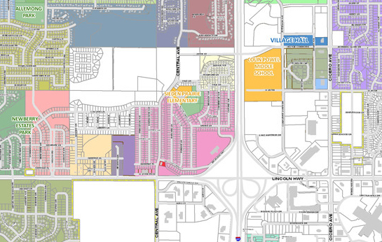
Development of Base Map

The process of base map development was completed via the following methods:

  • A complete base map was created by digitization of the land base features.
  • Digitization of the supply boundaries was completed based on the input collected from the WBSEB authority.
  • Attributed data collected through surveys with the help of DGPS (Differential Global Positioning System) receivers was used to enhance the features of the digitized base map.
Learn more about Utility Mapping
GIS in power

Development of a Power GIS Database

Our field executives conducted GPS field surveys of the entire power network of WBSEB. The surveys included locating the power transformers, distribution transformers, EHV towers, HV and M&LV lines and poles, details of the consumers connected to these poles etc. The details of all existing electrical installations of the WBSEB was accumulated within an accuracy of 1 meter relative to the base map.

Single Line Diagrams (SLDs) were prepared to document the following:

  • Assets of all the sub-stations including capacitors, isolators, breakers, CTs, PTs, relays, supports, meters etc.
  • The overhead and underground feeders of voltage rating 400 kV to 230 volts up to the poles from where the consumers' services cables lines were laid.

This survey was conducted in 21 electric supplies and sectors.

consumer indexing

Consumer Indexing

The details of the consumers were accumulated through the following methods:

  • Door-to-door surveys were conducted to identify the consumers connected to the network of WBSEB. This survey was based on the list provided to us by DCC/CC which included consumer no., name, address, service connection number, category, meter number/s etc. of the existing customers. The survey was conducted on 193271 consumers.
  • Identification of the consumers whose records were not present on the list and correction and update of the list according to the same.
  • Collection of meter details of the consumers which included number of meters, make, model, serial no., category, the condition of the meter seal etc.
digitization of data

Digitization of the Data Collected

The process of digitization of the data collected included the following steps:

  • The attributes collected from the GPS field survey of the 21 electric supplies and sector offices were uploaded to the server.
  • A digital theme map was prepared. This map provides a consolidated view of the data and is easily readable.
  • A data analysis GIS software for the distribution and management of the power network was installed.

We also conducted training of WBSEB personnel to equip them with the knowledge of the software and the ability to operate and update it.

Final Deliverable

We delivered a comprehensive GIS-based digital database of the power network in certain areas of West Bengal along with the details of the consumers connected to it.