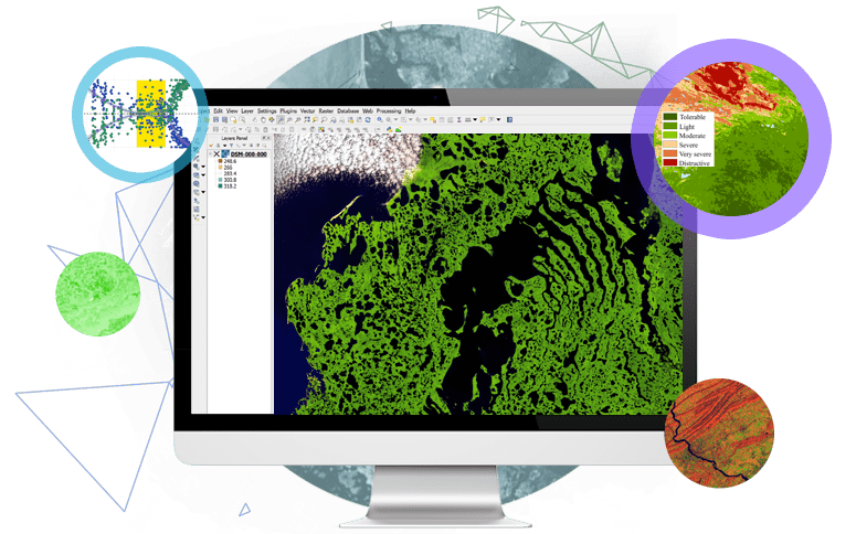
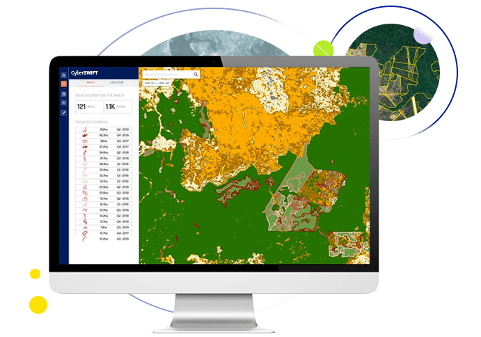
Afforestation Deforestation Monitoring Solution

Afforestation means the establishment of forest(s) or stands of trees on non-forested land whereas deforestation refers to the clearance or removal of trees and converting them to non-forest uses. The advancement in the field of GIS and Remote Sensing technology has made this process convenient by studying the forest cover and selectively planning the methods of growing trees.
Remote Sensing has been a key tool for environmental assessment and monitoring the Spatio-temporal distribution of forest cover and accurately identifying and mapping the zones of deforested land and implementing different methods of afforestation in those areas. Earth observation data and satellite images enable the analysis of soil, vegetation cover, geomorphological conditions using various indices and remote sensing-based analysis. The criteria specified help in studying and determining the land suitability for afforestation.

Benefits

tracking forestation data through map pin icon

Deforestation Tracking GIS & Remote sensing based app can track and monitor forestation

data inputting in the server by multiple field workers icon

Collecting Field Data An offline or online mode GIS based mobile app for field data collection

pie chart data analysis icon

Real-time Analyze Mealtime data analyze for better decision making

operations monitoring icon

Monitor Operations User friendly dashboard, which integrates maps, satellite imagery & data to monitor operation

data access from mobile app offline mode icon

Access Data From Anywhere Easy access of data in Online/Offline mode on mobile app from anywhere

dashboard showing satellite images of forest, analysis of deforestation, reporting forest fire map

Work Procedure

  • Acquiring high-resolution satellite images from various portals like NRSC, Bhuvan, USGS, etc, and various earth observation data for mapping and analysis.
  • The data can be processed using various GIS and Remote Sensing platforms like QGIS, ArcGIS, Erdas Imagine, etc.
  • The deforested zones can be accurately delineated and the regions can be classified on the basis of the requirement of the project.
  • Analyzing the various parameters like soil type, climatic condition, slope, aspect, a distance of water body, soil erosion intensity, land use, landcover, and forest aridity index are considered and given weightage accordingly to identify the most suitable area for afforestation.
  • The analysis or the results can be validated with fieldwork for the best accuracy and can also be compared with various vegetation and soil-based indices.
plantation forest fire and agriculture land map analysis

Final Deliverables

  • Processed and classified satellite images.
  • Maps of the specified parameters and analysis reports with proper interpretation.
  • Demarcated zone of the most suitable areas for afforestation and deforestation.

Contact Us

Let’s Have a Conversation

We would love to learn about your business challenges and goals, and share insights about how we can possibly help you using Plantation Monitoring Solution. We would also be happy to show you some of the ways we’ve helped customers to get where they wanted to go.