CITY GAS DISTRIBUTION

City Gas Distribution abbreviated as CGD is the distribution of natural gas to domestic, industrial, commercial, and transport sectors through a network of pipelines. It has attracted a large number of companies to invest in gas distribution pipeline networks.

Gas Pipeline

A Few Advantages of GIS System Implementation:

  • GIS helps in asset management by locating pipeline assets such as main and service lines by tracking their coordinates and calculating their relative distances
  • Leak management and analysis is swifter as GIS provides faster response time in case of a leak or an accident, by sharing the information of the incident to the response team
  • GIS stores consumer data and various thematic maps can be prepared to identify future potential consumers and plan the pipeline network accordingly
  • Study of demand and supply of consumers through survey and mapping can help in the expansion planning of the pipeline network and prediction of the future growth can be accessed
  • To produce calculations such as pressure, inlet quantity of the gas etc., as well as to generate maps and BoM showing various design parameters at all nodes and lines
  • Flexibility to change the design to suit the site conditions
  • Ability to manually adjust the automatically calculated locations
  • For operations and maintenance, it is important to identify weak sections of the pipeline and to replace the segment to prevent a leak or an accident. Pipes made of steel or iron are subject to rust due to environmental factors which needs to undergo cathodic protection.
  • Optimal DPRS location, service area & routing for substantial cost saving
  • Plan route to ensure maximum reach with minimum length
  • Reduce the network design time
  • Network size critically designed to ensure supply pressure at consumer & intermediate points without over/ under sizing any element
land based development in gis

Landbased Development in GIS

GA wise large scale mapping of base map layer in 1:1000 scale using HRSI/Open Source. Field Survey for ground-truthing and attribute collection of new/existing establishment. Compilation of GIS base maps layers into Geospatial Database.

route survey and mapping

Route Survey & Mapping

Detailed Total Station, DGPS and GPR survey of MDPE & Steel Pipeline, Mapping of Pipeline Route Corridor along with Physical feature, Crossing for planning, engineering and execution purposes. Soil characterization including corrosion resistivity along the approved route.

market survey mobile app

Market Survey Mobile App

Mobile App based market survey to minimize paper-based survey resulting in and reducing of cost & false data, easy restoration of history data, online payment, signature, and scanning of important documents through the in-built scanner. Map view of potential customer's locations for better visualization and planning.

project tracking & monitoring progress

Project Tracking & Monitoring Progress

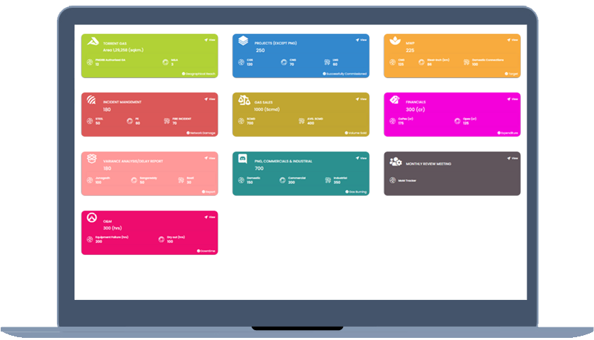
Project Progress Tracking system will capture on daily basis progress, track the actual completion result against the planned & monitor performance for all ongoing Projects & GA. It comes with Intelligent Dashboard for top-level analysis and decision support, Tracking of statutory permission with details, Vendor performance monitoring, Information of gas sales, gas Purchase and gas reconciliation.
gis based asset management system

GIS-based Asset Management System

Web-based Asset Management System for City Gas Distribution pipeline network. It provides features like; Single-window view of the entire network of the utility, faster Identification of assets, their characteristics, and related network, Tracing/Isolation capability to identify affected upstream / downstream devices, Outage Analysis to find the area and customers & devices affected. Graphical Representation/symbolization of assets based on Maintenance status, Maintenance history along with push notification in the system.

leak & outage analysis

Leak and Outage Analysis

Dry out/damage/leak/fire details can be updated through the geotagged mobile application for location-based damage spot identification on the network. Spatial queries/visualization / Analysis of alternate gas supply based on the mapped geometric network. Crew identification, tracking and work assignment, successful restoration of damage. GA/Area-wise Incident details will be stored in the system as historical data for future reference.

Download our Brochure