-
Challenges in Hoarding Management for Municipal Corporations and GIS-Based Solutions
Hoardings play a crucial role in urban advertising, generating substantial revenue for municipal corporations. However, managing these hoardings efficiently presents numerous challenges. Unauthorized hoardings, revenue leakages, and lack of proper monitoring mechanisms create inefficiencies in the system. The introduction of a Hoarding Management System integrated with GIS technology provides an innovative solution to these issues. Key Challenges in Hoarding Management 1. Identification of Potential Revenue Municipal corporations often struggle to assess the exact revenue that can be collected from hoardings. The disparity between actual and potential revenue arises due to unregistered hoardings and inefficiencies in tax collection. A Hoarding Management System enables authorities to track and assess the revenue potential more accurately.…
-
Challenges in Monitoring Road Infrastructure and GIS-Based Solutions
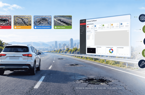
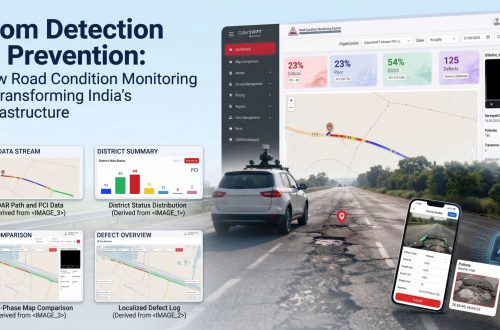
Road infrastructure is the backbone of a country’s economy, facilitating trade, transportation, and connectivity. However, maintaining and monitoring road conditions is a complex task due to various challenges such as wear and tear, weather conditions, increasing vehicular load, and lack of real-time data. Traditional road monitoring methods often rely on manual inspections, which are time-consuming, expensive, and prone to errors. The integration of Geographic Information Systems (GIS) into road infrastructure monitoring provides a more efficient, accurate, and cost-effective solution. AI-based Road Condition Monitoring Systems leverage advanced machine learning algorithms and computer vision to detect road damages such as potholes, cracks, and surface degradation in real-time. These systems enhance efficiency by automating…
-
What is CSR Risk Management?
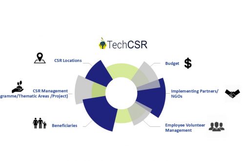
Corporate Social Responsibility (CSR) has become a vital part of business strategy in today’s socially conscious world. However, with the increasing focus on ethical business practices, sustainability, and social impact, organizations must effectively manage risks associated with their CSR initiatives. This is where CSR risk management plays a crucial role. CSR risk management involves identifying, assessing, and mitigating risks that could impact a company’s CSR efforts. These risks may arise from regulatory compliance issues, stakeholder expectations, financial constraints, reputational challenges, or operational inefficiencies. By implementing a CSR management software or a CSR tracking system, organizations can enhance transparency, streamline compliance, and improve the effectiveness of their CSR programs. Understanding CSR Risks CSR-related…
-
Smart Real Estate Management in 2025: How GIS and MIS Are Transforming Land Administration
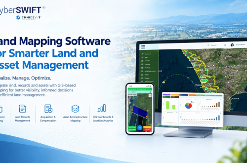
The real estate industry is undergoing a major transformation in 2025, driven by digitalization, automation, and data-driven decision-making. With urbanization accelerating and real estate markets becoming more complex, traditional land management methods face significant challenges. Challenges in Traditional Land Management: Manual Record-Keeping: Paper-based property records are prone to errors, duplication, and loss. Fraud and Ownership Disputes: Lack of transparency in property transactions leads to legal disputes and fraud. Inefficiencies in Land Use Planning: Poor data management results in suboptimal zoning, environmental risks, and delayed development projects. To address these challenges, Geographic Information Systems (GIS) and Management Information Systems (MIS) are revolutionizing land administration by providing real-time data, automation, and predictive analytics. These technologies…
-
Project Progress Monitoring System: Revolutionizing Project Management with GIS and MIS
Effective project management is critical to an organization’s success. However, with projects becoming increasingly complex and timelines tighter, traditional methods often fall short. This is where the Project Progress Monitoring System (PPMS) comes in — a GIS and MIS-powered solution designed to streamline operations, enhance collaboration, and keep projects on track from inception to completion. What is a Project Progress Monitoring System? A Project Progress Monitoring System is a software platform that leverages Geographic Information System (GIS) and Management Information System (MIS) technologies to provide real-time insights into a project’s progress. It aims to: Centralize project information Automate monitoring and reporting processes Facilitate collaboration among stakeholders Identify potential risks and bottlenecks early on From construction and…
-
The Importance of Effective Land Lease Management
Managing land leases effectively is crucial for ensuring the optimal use of land assets, reducing financial risks, and fostering productive tenant relations. Whether for agricultural, industrial, or commercial purposes, land lease management involves maintaining clear agreements, robust record-keeping, and efficient communication with tenants. Modern tools like GIS-based land management systems play a transformative role in streamlining these processes. The Core Elements of Land Lease Management Effective land lease management encompasses three critical aspects: Lease Agreements Lease agreements form the foundation of any land lease arrangement. A well-crafted lease should: Clearly define the terms and conditions, such as lease duration, payment schedules, and permitted land use. Protect the interests of both parties,…
-
The Essential Features of CSR Platforms in 2025: The Ultimate Guide
Imagine a rural school equipped with digital learning tools, a community thriving with clean energy projects, or a reforested area reversing decades of environmental degradation. These are not just milestones; they’re the results of well-executed Corporate Social Responsibility (CSR) initiatives. Behind such impactful stories lies technology—specifically, CSR platforms that streamline planning, execution, and monitoring. As businesses embrace digital transformation, CSR platforms have become indispensable for organizations aiming to manage their CSR projects effectively. At CyberSWIFT, we understand the challenges companies face and the critical role technology plays in overcoming them. Here’s a detailed guide to the essential features every CSR Management System must have in 2025. 1. Comprehensive Impact Tracking…
-
Addressing Challenges in Oil and Natural Gas Industry with GIS-Based Solutions
The oil and natural gas industry is the backbone of the global economy, providing energy for industrial operations, transportation, and household needs. However, this industry faces numerous challenges, ranging from resource exploration to environmental impact management. Geographic Information Systems (GIS) have emerged as a transformative technology to address these challenges. By integrating spatial data with advanced analytics, GIS empowers stakeholders to make informed decisions, enhance efficiency, and mitigate risks. In this blog, we will explore how GIS-based solutions are addressing some of the most pressing issues in the oil and gas sector. Common Challenges in the Oil and Gas Sector The oil and gas industry operates in a complex environment…
-
Understanding the Importance of Water Utility Surveys
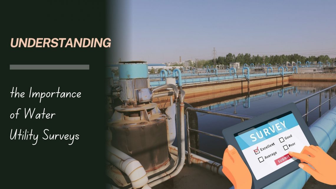
Water is a fundamental resource that sustains life, and the infrastructure supporting its supply and distribution is a critical component of urban and rural development. A water utility survey plays a pivotal role in ensuring the efficient and sustainable management of water resources. This blog explores the concept of water utility surveys, their methodology, and the benefits they bring to communities and organizations. What Is a Water Utility Survey? A water utility survey is a comprehensive process of mapping, identifying, and analysing the infrastructure associated with water supply and distribution systems. This includes underground pipelines, storage tanks, pumping stations, valves, and other components. Utilizing advanced technologies such as Ground Penetrating Radar…
-
GIS-Based Solutions for Efficient Telecom Network Management
The telecom industry is undergoing rapid transformation, driven by the increasing demand for seamless connectivity, efficient network management, and improved customer experience. As networks become more complex, the need for innovative solutions to manage these networks has never been greater. Geographic Information System (GIS)-based solutions have emerged as a game-changer in the telecom sector, offering a robust platform for managing, analyzing, and visualizing network data. This blog explores how GIS-based solutions can revolutionize telecom network management, ensuring efficiency and reliability. The Importance of Efficient Telecom Network Management Efficient network management is crucial for telecom companies to meet the growing demand for high-speed internet, mobile connectivity, and other services. It involves:…