-
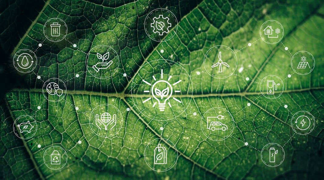
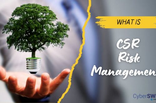
Changing Role of Corporate Social Responsibility (CSR) in Society
The concept of corporate social responsibility (CSR) has evolved over the years, and its role in society has also changed. In the past, CSR was seen as a way for companies to give back to the community and improve their reputation, but today, it is viewed as a critical part of a company’s operations and a key driver of long-term success and they are taking the help of CSR software(s) to achieve the goal immaculately. To understand, analyze and monitor the CSR activities in the organization. CSR Helping in Strategic Business Planning: One way that the role of CSR has changed is that it is now seen as a strategic business…
-
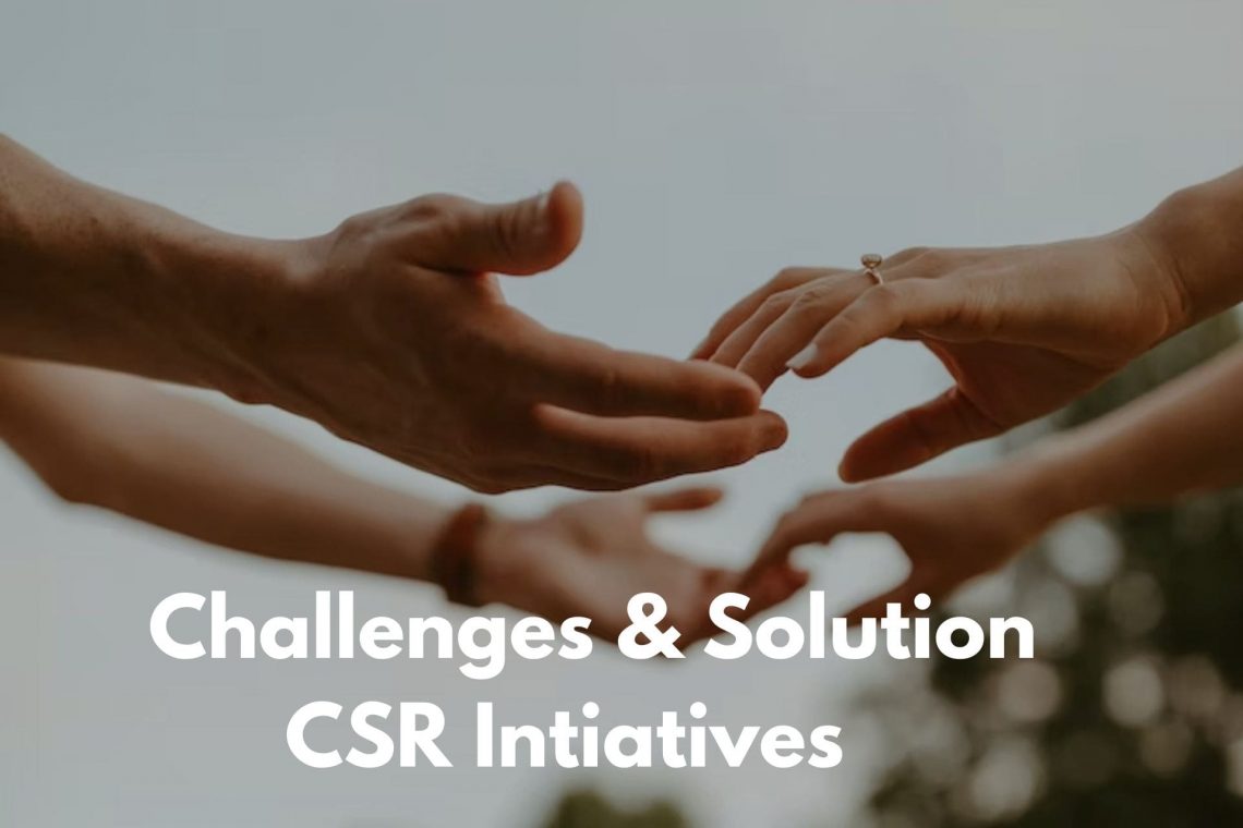
Corporate Social Responsibility (CSR): Challenges and Resolutions
Corporate social responsibility (CSR) is a concept that has gained increasing popularity in recent years. It refers to the idea that businesses have a responsibility to contribute to the well-being of society and the environment, beyond simply maximizing profits for their shareholders. While many companies have embraced CSR and have made significant strides in this area, there are still a number of challenges that need to be addressed. In this article, we will explore some of these challenges and offer some potential solutions. What are the Challenges Faced in CSR Implementation? One of the biggest challenges businesses face when it comes to CSR is the lack of a clear framework…
-
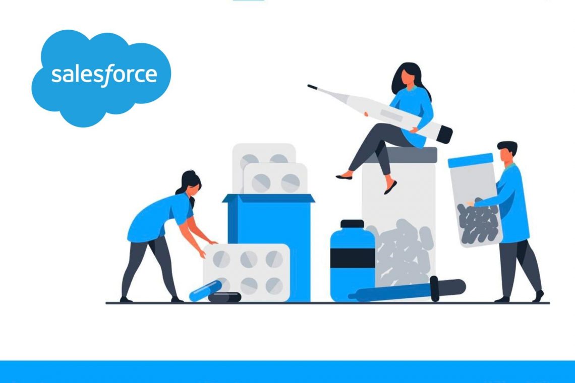
How can Salesforce help to Digitalize Pharmaceutical Production?
The pharmaceutical sector has been growing since the pandemic and businesses are now vying with one another for market dominance. In order to be ready for the future, pharmaceutical production must be digitalized using Salesforce. A pharmaceutical corporation has a number of responsibilities, including managing the supply chain, production, marketing, and patient care. Having accurate data is the key to everything. Salesforce for the pharmaceutical sector enables teams to access all pertinent care management and drug trial data that may help improve production while guaranteeing supply continuity. Salesforce: Digitalize Pharmaceutical Production Salesforce strives to bring together pharmaceutical companies, clients, and partners in a single viewpoint to produce actionable insights that…
-
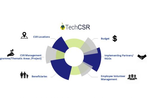
How Can A CSR Software Help Corporate in Education CSR? – TechCSR
Education is one of the major sectors where many corporates are executing their CSR Programs. Since education is the backbone of our society funding the same is extremely essential to build a strong tomorrow. There are millions of children across the country who do not receive proper education due to a lack of basic education infrastructure. A huge chunk of students who enroll themselves in Government run schools does not complete their education due to a lack of infrastructure. They might have a primary school in their village but might need to travel 2 hours for receiving higher education in a different village which they cannot do due to financial…
-
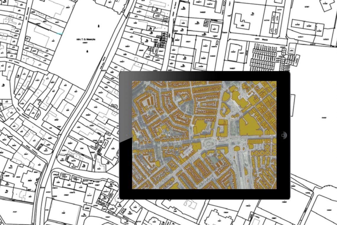
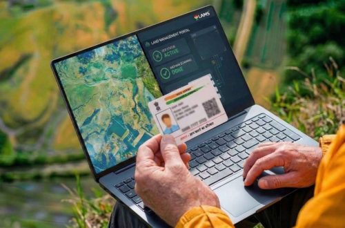
Land Records Management System Using GIS Technology
Introduction: In India, land ownership is primarily established through a registered sale deed (a record of the property transaction between the buyer and seller). Other documents used to establish ownership include the record of rights (document with details of the property), property tax receipts, and survey documents. Land records consist of various types of information (property maps, sale deeds) and are maintained across different departments at the district or village level. These departments work in silos, and the data across departments is not updated properly. Hence, discrepancies are often noted in land records. The district administration keeps land records to determine who owns and where the borders of a piece…
-
8 Common Misconceptions about Land Management
If you’re a working professional in the land domain, you know the time and effort it takes to manage the information. Many are inclined to opt for automated tools to manage but get discouraged considering common myths believed in the industry. Check below to see if your judgment has been clouded by any of the following: 1. High Cost It is a common misconception that managing properties requires a lot of expenses. That is not the case. Currently, there are many players in the market providing high-end tools and services in exchange of a rather small fee. The cost of these services will save you a lot of additional expenses…
-
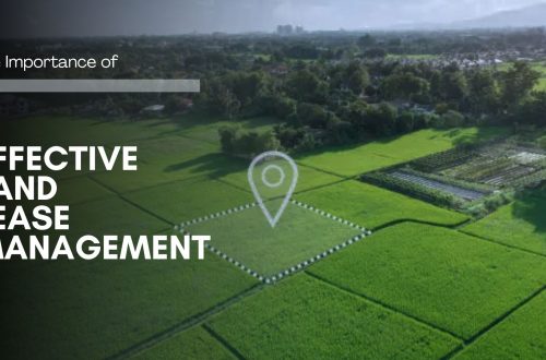
Land Acquisition Process Made Easy – What Do You Need to Know?
The old Land Acquisition Act, 1894 was revised to Land Acquisition, Rehabilitation and Resettlement Bill in 2011. The bill was aimed to usher in more transparency in land acquisition procedures and provide fair compensation, and rehabilitation to the project-affected people. It mandated for organizations to rearrange benefits like land for employment, land and housing but one-time cash payments to people whose land was acquired. 1. The entire process of land acquisition starts off with land title verification. The owner of the property and therefore the area is verified by tallying the survey number of the land. In States, where digitized land records are available the method, becomes easier. A central portal can store plot-wise ownership data captured from Records of Right…
-
How GIS and Remote Sensing Are Playing the Most Critical Role in Disaster Management?
India has been ranked the 14th most disaster-prone country in the world due to extreme weather-related disasters. Also, disasters are spatial in nature as they strike at a particular location and impact a specific region. GIS & remote sensing are inevitable parts of the disaster monitoring life-cycle. The preparedness stage of the pre-disaster situation is followed by during & post-disaster which is attributed to response & recovery & rehabilitation efforts. GIS provides accurate spatial data and insights into disaster response strategies and enables the visualization of critical vulnerabilities and damages. Subsequently, location intelligence plays a critical part in disaster monitoring. GIS combined with remote sensing gives an essential structure, helps in…
-
Utility of GIS for Line Patrolling in Transmission Sector
Balancing the need to foster new markets, improve system reliability, and reduce operating costs is the greatest challenge for today’s utility departments and decision-makers—a challenge that is successfully met with CyberSWIFT’s geographic information system (GIS) and Management Information System(MIS) based web application. GIS gives solutions across the entire department for applications in business, engineering, environmental management, and other disciplines necessary for comprehensive and effective power generation, transmission management, EHV Line patrolling activity. The transmission department provides the pathway for power within the whole of a state. Department owns, builds, maintains, and operates the high-voltage electric transmission system. For maintaining such a huge transmission system one of the main activities in maintaining…
You May Also Like

Transmission Survey in Dense Forest
-
Case Study of Samiksha – an ambitious e-Governance initiative of PWD West Bengal
‘SAMIKSHA’ Project Progress Monitoring System is an ambitious e-Governance initiative of PWD West Bengal where a web and mobile-based software application was built to monitor the progress of various construction & maintenance projects for Roads, Bridges, and Buildings throughout the state. The initial application was implemented in June 2016 which helped 5000+ users of the department with consistent project monitoring and successful completion of more than 6000+ projects in the past 3 years.For transforming the monitoring and management system of the Public Works Department, ‘Samiksha’ PPMS succeeded in bringing about digitally enabled, real-time and interactive modes of tracking projects. This led to a sea change in the performance of the…
CyberSWIFT
Solutions With Innovative Future Technology