-
How Can A CSR Software Help Corporate in Education CSR? – TechCSR
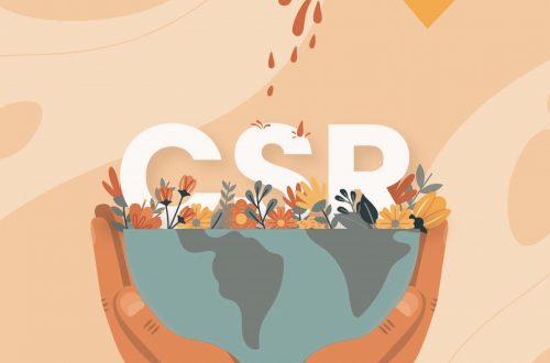
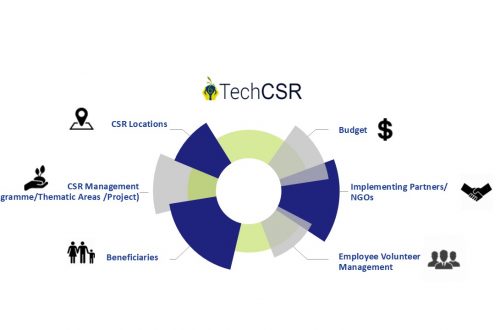
Education is one of the major sectors where many corporates are executing their CSR Programs. Since education is the backbone of our society funding the same is extremely essential to build a strong tomorrow. There are millions of children across the country who do not receive proper education due to a lack of basic education infrastructure. A huge chunk of students who enroll themselves in Government run schools does not complete their education due to a lack of infrastructure. They might have a primary school in their village but might need to travel 2 hours for receiving higher education in a different village which they cannot do due to financial…
-
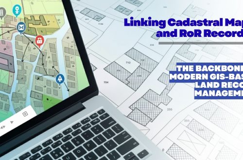
Land Records Management System Using GIS Technology
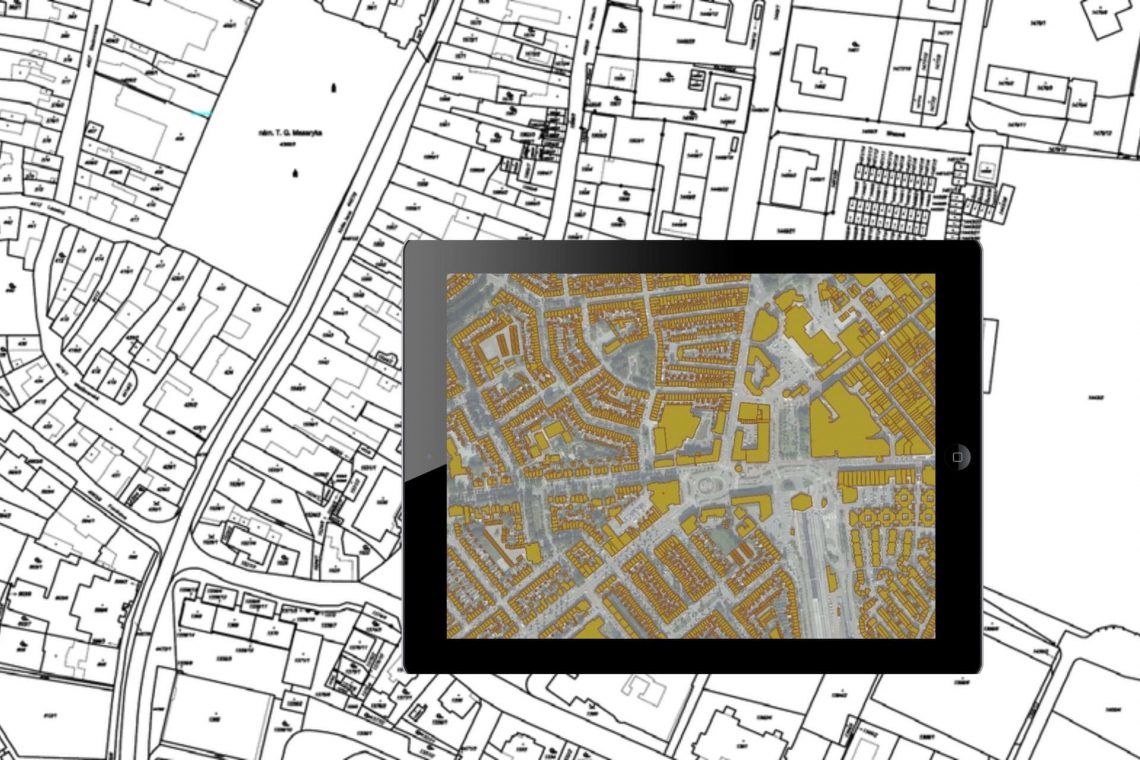
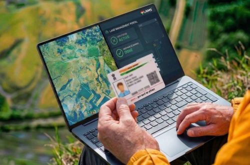
Introduction: In India, land ownership is primarily established through a registered sale deed (a record of the property transaction between the buyer and seller). Other documents used to establish ownership include the record of rights (document with details of the property), property tax receipts, and survey documents. Land records consist of various types of information (property maps, sale deeds) and are maintained across different departments at the district or village level. These departments work in silos, and the data across departments is not updated properly. Hence, discrepancies are often noted in land records. The district administration keeps land records to determine who owns and where the borders of a piece…
-
8 Common Misconceptions about Land Management
If you’re a working professional in the land domain, you know the time and effort it takes to manage the information. Many are inclined to opt for automated tools to manage but get discouraged considering common myths believed in the industry. Check below to see if your judgment has been clouded by any of the following: 1. High Cost It is a common misconception that managing properties requires a lot of expenses. That is not the case. Currently, there are many players in the market providing high-end tools and services in exchange of a rather small fee. The cost of these services will save you a lot of additional expenses…
-
Land Acquisition Process Made Easy – What Do You Need to Know?
The old Land Acquisition Act, 1894 was revised to Land Acquisition, Rehabilitation and Resettlement Bill in 2011. The bill was aimed to usher in more transparency in land acquisition procedures and provide fair compensation, and rehabilitation to the project-affected people. It mandated for organizations to rearrange benefits like land for employment, land and housing but one-time cash payments to people whose land was acquired. 1. The entire process of land acquisition starts off with land title verification. The owner of the property and therefore the area is verified by tallying the survey number of the land. In States, where digitized land records are available the method, becomes easier. A central portal can store plot-wise ownership data captured from Records of Right…
-
How GIS and Remote Sensing Are Playing the Most Critical Role in Disaster Management?
India has been ranked the 14th most disaster-prone country in the world due to extreme weather-related disasters. Also, disasters are spatial in nature as they strike at a particular location and impact a specific region. GIS & remote sensing are inevitable parts of the disaster monitoring life-cycle. The preparedness stage of the pre-disaster situation is followed by during & post-disaster which is attributed to response & recovery & rehabilitation efforts. GIS provides accurate spatial data and insights into disaster response strategies and enables the visualization of critical vulnerabilities and damages. Subsequently, location intelligence plays a critical part in disaster monitoring. GIS combined with remote sensing gives an essential structure, helps in…
-
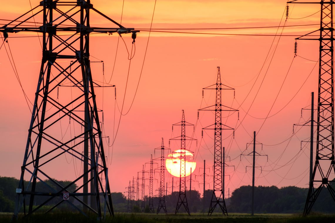
Utility of GIS for Line Patrolling in Transmission Sector
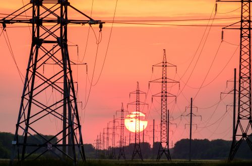
Balancing the need to foster new markets, improve system reliability, and reduce operating costs is the greatest challenge for today’s utility departments and decision-makers—a challenge that is successfully met with CyberSWIFT’s geographic information system (GIS) and Management Information System(MIS) based web application. GIS gives solutions across the entire department for applications in business, engineering, environmental management, and other disciplines necessary for comprehensive and effective power generation, transmission management, EHV Line patrolling activity. The transmission department provides the pathway for power within the whole of a state. Department owns, builds, maintains, and operates the high-voltage electric transmission system. For maintaining such a huge transmission system one of the main activities in maintaining…
You May Also Like

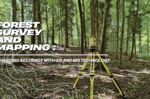
Transmission Survey in Dense Forest
-
Case Study of Samiksha – an ambitious e-Governance initiative of PWD West Bengal
‘SAMIKSHA’ Project Progress Monitoring System is an ambitious e-Governance initiative of PWD West Bengal where a web and mobile-based software application was built to monitor the progress of various construction & maintenance projects for Roads, Bridges, and Buildings throughout the state. The initial application was implemented in June 2016 which helped 5000+ users of the department with consistent project monitoring and successful completion of more than 6000+ projects in the past 3 years.For transforming the monitoring and management system of the Public Works Department, ‘Samiksha’ PPMS succeeded in bringing about digitally enabled, real-time and interactive modes of tracking projects. This led to a sea change in the performance of the…
-
Transmission Survey in Dense Forest
Transmission lines carry electrical energy from the substation where it is produced to the numerous distribution systems and, finally, to customers. The effective power transfer methodology involves security, reliability, and other alternatives involved at the planning stage. Due to the vastness of the transmission network line runs through the open stretches, ponds, rivers, forests. However, doing transmission surveys in the dense forest is not an easy task, it comes up with a handful of situations that require a team of experts. The cost and route of transmission line projects are influenced by factors such as geography, channel bridges, power line crossings, and a variety of other obstacles Here in this…
You May Also Like
Utility of GIS for Line Patrolling in Transmission Sector
-
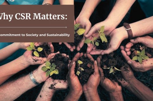
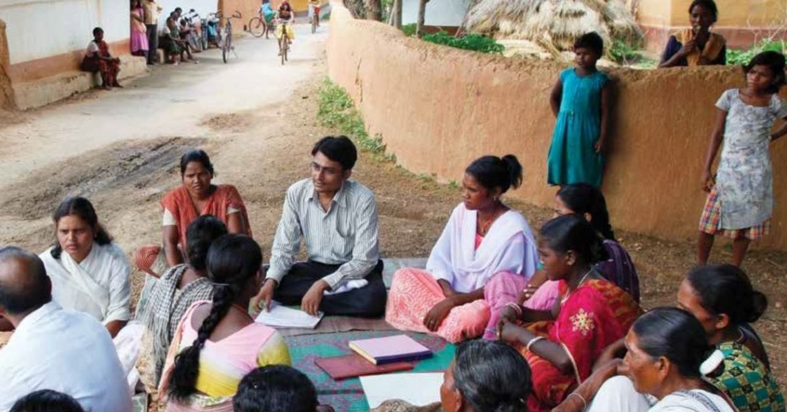
Grassroots CSR Initiative for Public Health – MANSI
When businesses operate, they have an impact on their local community. Also, businesses themselves get impacted by the issues faced by the local community where they operate. One of the aspects that becomes important for corporate entities is to consider the state of local population health in the areas where they operate. Additionally, it is imperative that corporations act responsibly and are accountable for any public health issues arising from their business operations. Corporate social responsibility is constantly being redefined from what it used to be in terms of corporate responsibility to people and the planet. This redefinition is significantly also due to issues affecting public health. Hence, it is…
-
What is Land Acquisition
Land acquisition in the process of acquiring land for industrialization, development of infrastructural facilities or urbanization of the private land by Government or private organizations. The Land Acquisition Act, 1894 (“1894 Act”) was replaced in 2013 by The Right to Fair Compensation and Transparency in Land Acquisition, Rehabilitation and Resettlement Act, 2013 (“2013 Act”). The amendment bill – Right to Fair Compensation and Transparency in Land Acquisition, Rehabilitation and Resettlement (Amendment) Bill was passed in 2015 (“2015 Law”). What is Rehabilitation & Resettlement Land acquisition and displacement alter the social, economic, cultural and environmental status of the affected population. The Rehabilitation and Resettlement Bill, 2007 provides for benefits and compensation to people displaced by land acquisition purchases or any other involuntary…
CyberSWIFT
Solutions With Innovative Future Technology