-
Enabling Seamless Rural Connectivity: End-to-End Support Services for BharatNet Phase 3
The ambitious rollout of BharatNet Phase 3 marks a transformative step toward strengthening India’s rural digital backbone. With a renewed focus on high-speed, reliable broadband connectivity across Gram Panchayats, this phase demands precision-driven execution, stringent quality standards, and complete lifecycle documentation. To ensure successful implementation, a comprehensive suite of GIS services plays a critical role — from route planning surveys to HOTO documentation and identification of damage section of existing network through advanced fiber testing. Below is an overview of the key GIS services essential for BharatNet Phase 3 deployment. 1. GIS Route Survey & Network Planning: Accurate route planning forms the foundation of a robust fiber network. Scope of Services:…
You May Also Like

GIS-Based Solutions for Efficient Telecom Network Management
-
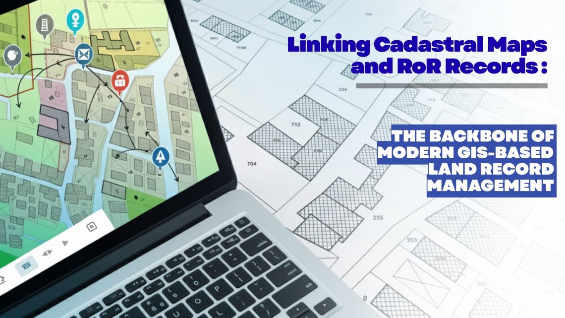
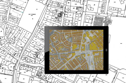
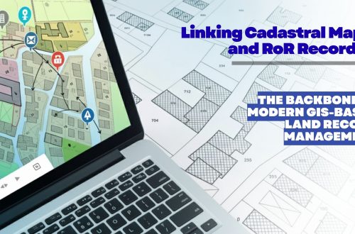
Linking Cadastral Maps and RoR Records: The Backbone of Modern GIS-Based Land Record Management
Accurate, transparent and easily accessible land information has become a strategic requirement for governments, utilities, infrastructure developers, renewable energy companies, mining corporations and real estate enterprises. As organizations expand, acquire new parcels, or manage large land banks, the ability to trust and validate land ownership data becomes essential. This is where the digital integration of Cadastral Maps and Record of Rights (RoR) emerges as a game changer—especially when executed through an advanced GIS-based land management platform like LAMS (Land Acquisition and Management System). Why Linking Cadastral Maps and RoR Matters Today Traditionally, cadastral maps and RoR records were maintained as separate datasets—one spatial, one textual—leading to inconsistencies, duplication, and errors during land…
-
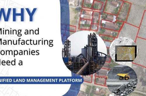
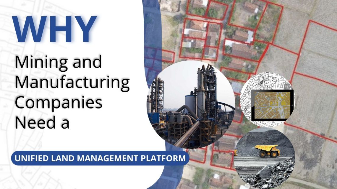
Why Mining and Manufacturing Companies Need a Unified Land Management Platform
In the mining and manufacturing sectors, land is not just a resource—it’s a strategic foundation. From mineral exploration to industrial expansion, every project starts with identifying, acquiring, and managing vast stretches of land. Yet, land administration remains one of the most complex, time-consuming, and risk-prone parts of project development. Fragmented records, manual processes, and disconnected systems often lead to delays, disputes, and compliance issues. To overcome these challenges, leading organizations are adopting all-in-one digital Land Management Platforms like LAMS — a GIS-enabled, cloud-based solution purpose-built for managing large, distributed land assets efficiently. 1. Managing Complex Land Portfolios Mining and manufacturing operations typically span multiple leases, permits, and zones, often across different…
-
Streamline Clearance Tracking for Hassle-Free Land Management
Efficient land management is critical for sustainable infrastructure development, urban planning, and public administration. However, one of the most challenging aspects of land governance continues to be the tracking and management of clearances and approvals associated with land parcels. In most cases, this process involves multiple agencies, departments, and documentation requirements—making it highly prone to delays, inconsistencies, and data redundancy. A GIS-based Land Management System, such as LAMS, provides a comprehensive solution to address these challenges by integrating geospatial intelligence with digital workflow automation. The result is a streamlined, transparent, and accountable clearance tracking mechanism that supports timely and informed decision-making. Challenges in Traditional Clearance Tracking Conventional clearance processes are…
-
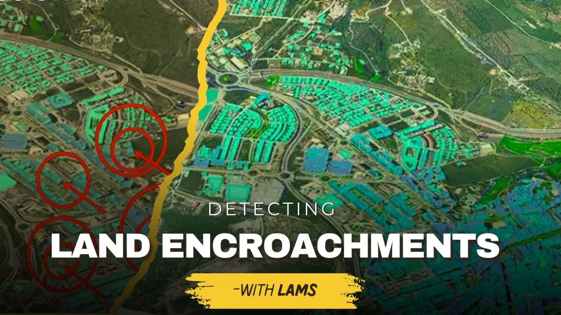
Detecting Unauthorized Structures and Encroachments on Your Land with LAMS
Land is one of the most valuable assets for individuals, businesses, and government bodies. However, protecting it from unauthorized structures, encroachments, and illegal occupation continues to be a major challenge. Traditional monitoring methods often fail to provide real-time, accurate insights—leading to disputes, financial losses, and even legal complications. This is where land acquisition and management system (LAMS) plays a crucial role. By integrating GIS-based land management solutions with advanced digital tools, LAMS empowers landowners and organizations to identify, monitor, and prevent encroachments effectively. Why Detecting Unauthorized Structures & Encroachments Is Important Prevents Financial Losses – Encroachments reduce the usable value of your land, affecting long-term revenue and development potential. Reduces Legal Disputes – Unauthorized construction often…
-
How Ownership Transfers Over Time: Inheritance, Sales, Leases, and Beyond
Land is one of the most valuable assets in society. Over generations, its ownership changes hands through inheritance, sales, leases, and allotments. For organizations, governments, and individuals, keeping track of these ownership transfers is not just a legal necessity—it’s essential for sustainable growth and transparent governance. This is where GIS-based land management solutions play a transformative role. Understanding Ownership Transfers 1. Inheritance Land often passes from one generation to another through inheritance. While this is one of the oldest forms of ownership transfer, it can also be the most complex due to disputes, unclear boundaries, or missing records. A Land Records Management System integrated with GIS-based land records management ensures…
-
Ensuring Compliance When Acquiring Land & Handling Land Litigation Cases
Acquiring land is more than a financial transaction—it requires navigating complex legal, regulatory, and administrative processes. Organizations today are increasingly turning to land management systems to streamline compliance, track documentation, and minimize disputes. This blog explores two critical aspects of real estate and property management: ensuring compliance during land acquisition and effectively handling land litigation cases. Ensuring Compliance When Acquiring Land Compliance failures during land acquisition can lead to ownership disputes, penalties, or project delays. A modern land management system can help automate checks, store records, and provide real-time compliance tracking. 1. Verify Title and Ownership Use land management software to maintain digital title records. Access historical deed information to…
-
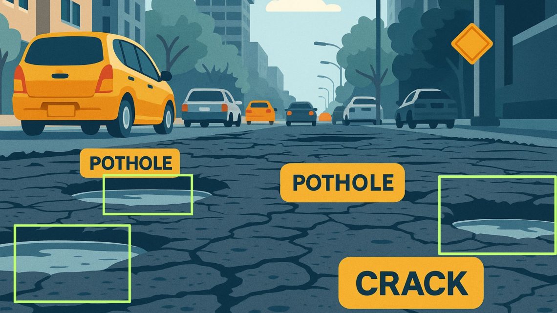
A GIS-Based Approach to Road Condition Monitoring and Pothole Detection using AI
Maintaining road infrastructure is a critical responsibility for urban and rural authorities alike. Roads with potholes, cracks, and surface deterioration not only affect vehicle performance but also pose significant safety risks. A systematic and technology-enabled approach is essential for improving road conditions, optimizing road maintenance efforts, and ensuring timely project completion. This is where AI-based road condition monitoring systems come into play. They provide spatial intelligence, visual analytics, and data-driven insights that can significantly improve how road infrastructure is built and maintained. Understanding Road Condition Monitoring Systems A road condition monitoring system is a comprehensive framework that continuously assesses the health of road infrastructure. It combines with field data to…
-
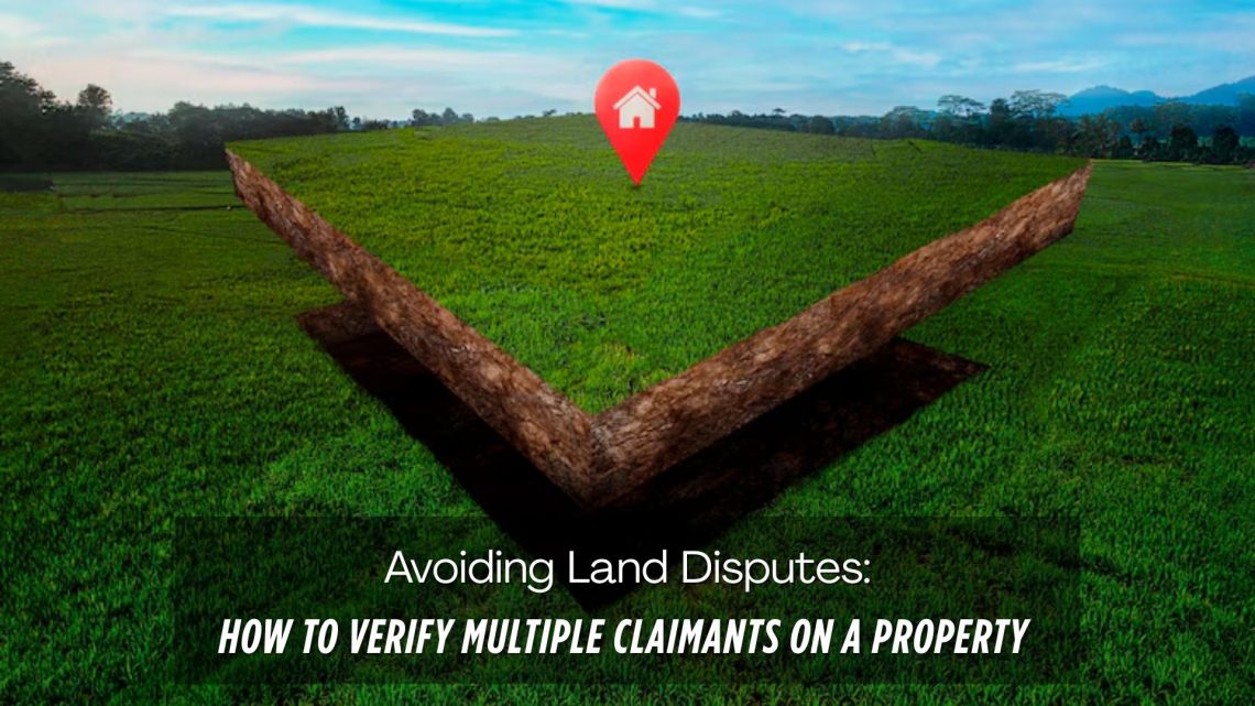
Avoiding Land Disputes: How to Verify Multiple Claimants on a Property
Land disputes are among the most common and complex legal issues globally, especially in countries with fragmented land records and inadequate land management systems. One of the key reasons behind these disputes is multiple claimants asserting ownership over the same piece of land. Whether it’s due to historical inheritance, undocumented transactions, or fraudulent claims, such scenarios can lead to prolonged litigation, stalled infrastructure projects, and massive financial losses. In this blog, we explore practical strategies to verify multiple claimants on a property, prevent potential disputes, and highlight how digital solutions like CyberSWIFT LAMS (Land Acquisition Management System) can help streamline the verification and dispute avoidance process. Why Do Multiple Claims…
-
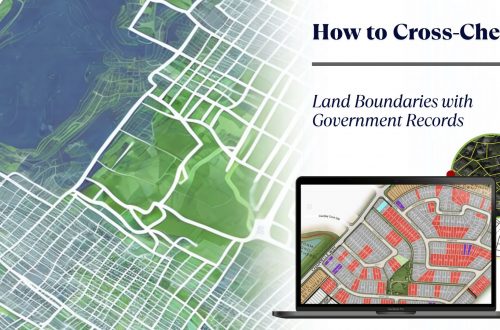
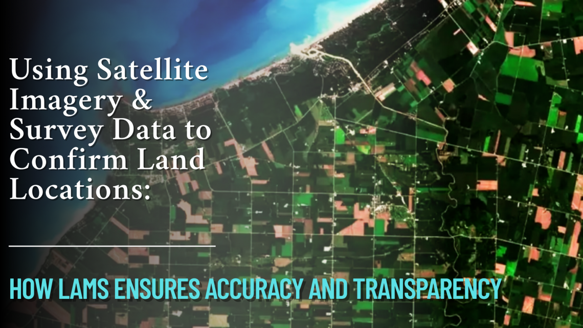
Using Satellite Imagery & Survey Data to Confirm Land Locations: How LAMS Ensures Accuracy and Transparency
In the age of digital transformation, managing land assets with precision has become a necessity for government bodies, infrastructure developers, and enterprises alike. With challenges like land disputes, overlapping claims, outdated land records, and encroachments plaguing traditional land management, the integration of satellite imagery and survey data offers a revolutionary approach. CyberSWIFT’s Land Management System (LAMS) leverages the power of satellite technology and on-ground surveys to validate, map, and manage land locations with unmatched accuracy. Why Accurate Land Location Matters Accurate land location data is foundational to: Resolving ownership disputes Preventing encroachments Accelerating land acquisition processes Ensuring compliance with government regulations Facilitating informed infrastructure planning and development Any ambiguity in land boundary definitions…
CyberSWIFT
Solutions With Innovative Future Technology