-
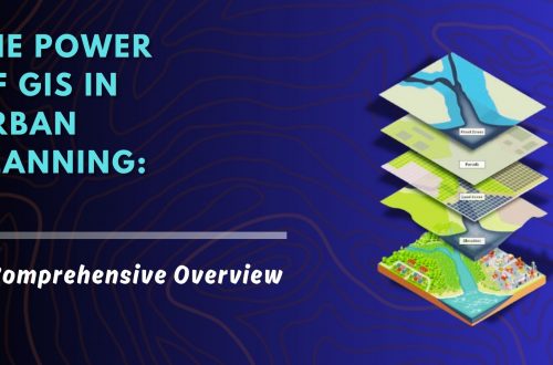
Urban Development Property Survey & Mapping: Powering Smart Cities with Precision
As cities continue to grow rapidly, efficient property administration and urban planning have become more crucial than ever. A property survey and mapping system acts as the foundation for sustainable urban development, facilitating everything from infrastructure planning to legal property ownership. By integrating cutting-edge technologies like Geographic Information Systems (GIS), Unmanned Aerial Vehicles (UAVs), and centralized digital property databases, municipalities and private developers can ensure accurate, transparent, and accessible property records. Let’s explore how this process works, why it’s essential, and how it’s shaping the future of smart cities. Why Property Survey & Mapping is Essential in Urban Development Inaccurate property boundaries, outdated property records, and unchecked encroachments have long hindered…
-
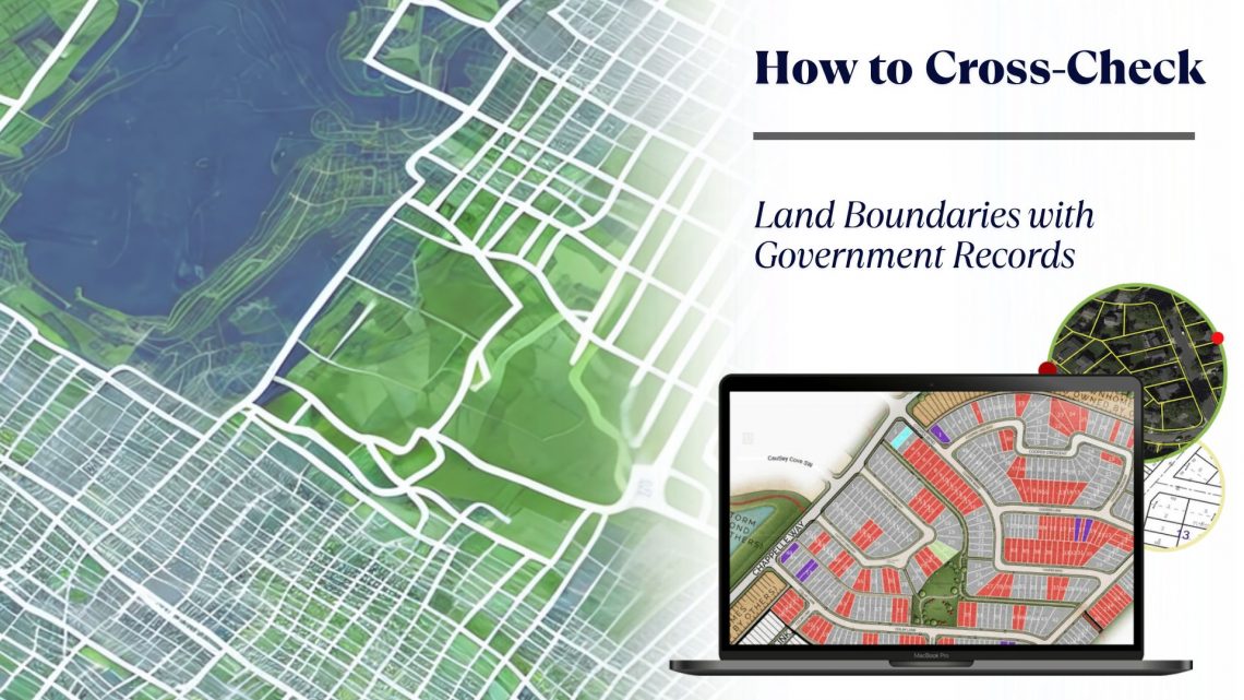
How to Cross-Check Land Boundaries with Government Records
Accurately verifying land boundaries is a crucial step in any land-related transaction—be it purchase, sale, lease, or development. Inaccurate or unclear boundaries can lead to legal disputes, financial losses, or project delays. One of the most effective ways to prevent such issues is by cross-checking land boundaries with official government records. Thanks to technological advancements, especially in GIS-based land management systems and land records management systems, this process is now more efficient, accurate, and accessible than ever. In this blog, we explore the importance of cross-verifying land boundaries and the tools that simplify the process, such as land allotment software, land information management systems, and land lease management tools. Why Cross-Checking…
-
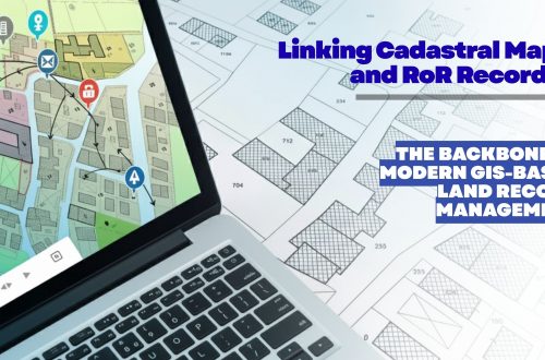
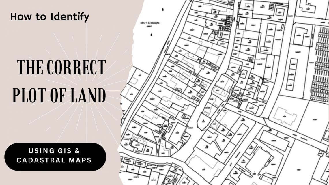
How to Identify the Correct Plot of Land Using GIS & Cadastral Maps
In real estate, infrastructure development, and urban planning, precise land parcel identification is essential. Whether acquiring land for a new project, managing large agricultural tracts, or overseeing land assets for a government or corporate entity, inaccuracies can result in legal conflicts, project setbacks, and financial risks. This is where GIS (Geographic Information System) and cadastral maps come into play—serving as the technological foundation of modern land management, enabling users to accurately locate and verify land plots with confidence. Let’s explore how GIS and cadastral mapping technologies help in identifying the correct plot of land and how land management systems are revolutionizing land-related operations. Understanding GIS and Cadastral Maps What is GIS? GIS…
-
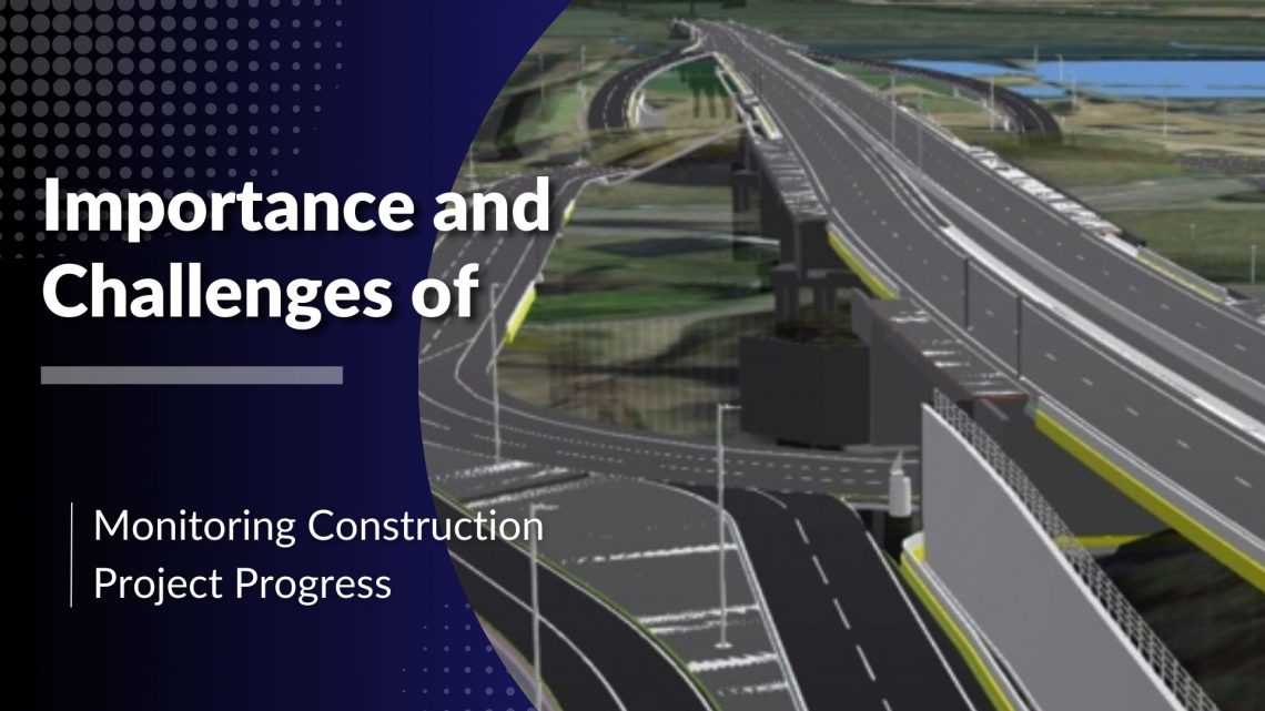
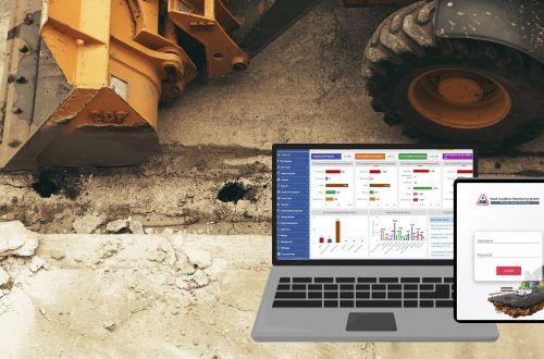
Importance and Challenges of Monitoring Construction Project Progress
The construction industry is known for its complex projects that involve multiple stakeholders, strict deadlines, and substantial financial investments. Ensuring the timely and efficient completion of these projects requires meticulous monitoring of work progress. A web-based project monitoring system plays a crucial role in streamlining this process by offering real-time insights, reducing errors, and enhancing communication among teams. However, despite the technological advancements, project managers still face several challenges in monitoring construction progress effectively. Importance of Monitoring Construction Project Progress 1. Ensuring Timely Completion Construction projects typically operate on tight schedules. Monitoring progress helps project managers ensure that tasks are completed as planned, reducing the risk of delays. By leveraging a…
-
Forest Survey and Mapping: Enhancing Accuracy with GIS and MIS Technology
Forest survey and mapping play a crucial role in environmental conservation, resource management, and biodiversity protection. Traditional methods of surveying forests relied on manual data collection, which was often time-consuming and prone to errors. However, with the advent of modern technologies like Geographic Information System (GIS) and Management Information System (MIS), forest mapping has become more efficient, accurate, and scalable. These tools help in monitoring forest health, land-use planning, and policy-making. In this blog, we will explore how GIS and MIS enhance forest survey and mapping, their key features, challenges, and future scope. The Role of GIS in Forest Survey and Mapping 1. Geospatial Data Collection GIS allows for the…
-
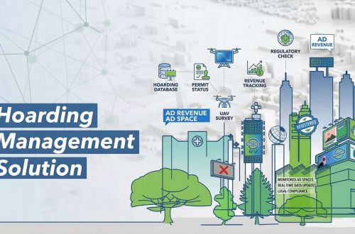
Challenges in Hoarding Management for Municipal Corporations and GIS-Based Solutions
Hoardings play a crucial role in urban advertising, generating substantial revenue for municipal corporations. However, managing these hoardings efficiently presents numerous challenges. Unauthorized hoardings, revenue leakages, and lack of proper monitoring mechanisms create inefficiencies in the system. The introduction of a Hoarding Management System integrated with GIS technology provides an innovative solution to these issues. Key Challenges in Hoarding Management 1. Identification of Potential Revenue Municipal corporations often struggle to assess the exact revenue that can be collected from hoardings. The disparity between actual and potential revenue arises due to unregistered hoardings and inefficiencies in tax collection. A Hoarding Management System enables authorities to track and assess the revenue potential more accurately.…
-
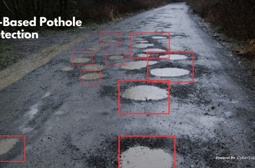
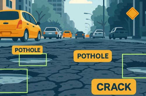
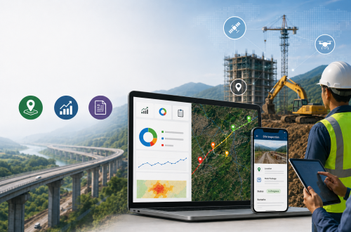
Challenges in Monitoring Road Infrastructure and GIS-Based Solutions
Road infrastructure is the backbone of a country’s economy, facilitating trade, transportation, and connectivity. However, maintaining and monitoring road conditions is a complex task due to various challenges such as wear and tear, weather conditions, increasing vehicular load, and lack of real-time data. Traditional road monitoring methods often rely on manual inspections, which are time-consuming, expensive, and prone to errors. The integration of Geographic Information Systems (GIS) into road infrastructure monitoring provides a more efficient, accurate, and cost-effective solution. AI-based Road Condition Monitoring Systems leverage advanced machine learning algorithms and computer vision to detect road damages such as potholes, cracks, and surface degradation in real-time. These systems enhance efficiency by automating…
-
What is CSR Risk Management?
Corporate Social Responsibility (CSR) has become a vital part of business strategy in today’s socially conscious world. However, with the increasing focus on ethical business practices, sustainability, and social impact, organizations must effectively manage risks associated with their CSR initiatives. This is where CSR risk management plays a crucial role. CSR risk management involves identifying, assessing, and mitigating risks that could impact a company’s CSR efforts. These risks may arise from regulatory compliance issues, stakeholder expectations, financial constraints, reputational challenges, or operational inefficiencies. By implementing a CSR management software or a CSR tracking system, organizations can enhance transparency, streamline compliance, and improve the effectiveness of their CSR programs. Understanding CSR Risks CSR-related…
-
Smart Real Estate Management in 2025: How GIS and MIS Are Transforming Land Administration
The real estate industry is undergoing a major transformation in 2025, driven by digitalization, automation, and data-driven decision-making. With urbanization accelerating and real estate markets becoming more complex, traditional land management methods face significant challenges. Challenges in Traditional Land Management: Manual Record-Keeping: Paper-based property records are prone to errors, duplication, and loss. Fraud and Ownership Disputes: Lack of transparency in property transactions leads to legal disputes and fraud. Inefficiencies in Land Use Planning: Poor data management results in suboptimal zoning, environmental risks, and delayed development projects. To address these challenges, Geographic Information Systems (GIS) and Management Information Systems (MIS) are revolutionizing land administration by providing real-time data, automation, and predictive analytics. These technologies…
-
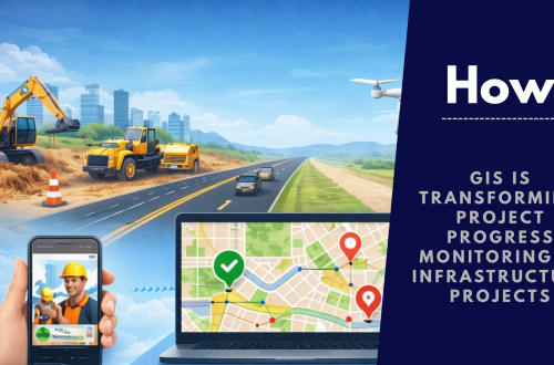
Project Progress Monitoring System: Revolutionizing Project Management with GIS and MIS
Effective project management is critical to an organization’s success. However, with projects becoming increasingly complex and timelines tighter, traditional methods often fall short. This is where the Project Progress Monitoring System (PPMS) comes in — a GIS and MIS-powered solution designed to streamline operations, enhance collaboration, and keep projects on track from inception to completion. What is a Project Progress Monitoring System? A Project Progress Monitoring System is a software platform that leverages Geographic Information System (GIS) and Management Information System (MIS) technologies to provide real-time insights into a project’s progress. It aims to: Centralize project information Automate monitoring and reporting processes Facilitate collaboration among stakeholders Identify potential risks and bottlenecks early on From construction and…
CyberSWIFT
Solutions With Innovative Future Technology